The MaCAD is a unique online programme training a new generation of architects, engineers and designers ready to develop skills into the latest softwares, computational tools, BIM technologies and AI towards innovation for the Architecture, Engineering and Construction (AEC) industry.

Thermal Insight: Optimizing Indoor Analysis

Thermal Insight would be a standalone app that optimizes indoor environments by predicting thermal comfort. With simulations from trained models to help enhance occupant comfort and energy efficiency, evaluating metrics like PMV, PPD, and MRT. This tool would help improve well-being and productivity while achieving efficiency goals. Abstract Methodology Use Case Data Analysis Results and … Read more

migrAItion

Studying migration is crucial for urban planners and architects to anticipate and accommodate the influx of people into cities, ensuring the development of robust infrastructure that can support this growth. As migration patterns shape demographic changes, understanding these trends allows cities to plan for adequate housing, transportation, healthcare, and educational facilities. This foresight is essential … Read more

Real-time Daylighting Performance for Adaptive Reuse Planning

This project aimed to develop a daylight predictor to facilitate and generate well-informed adaptive reuse projects, with a specific focus on providing sustainable design solutions for low-income housing. Los Angeles (LA) was selected as a case study due to its proactive open data initiatives and commitment to adaptive reuse. This proposal provides a snapshot of … Read more

Dataset Our database contains more than 181,000 rows, each with comprehensive information. The primary database includes 17 variables, though not all are necessary for our analysis. The most crucial data points are location (latitude and longitude), type of food establishment, type of inspection, inspection results, and risk level. As the person who uploaded the database … Read more

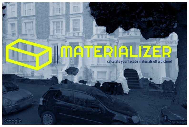
Materializer

Introduction Our project, Materializer, leverages the power of multiple self-trained machine learning models to predict material quantities based on an image uploaded by the user and the building coordinates. This innovative approach utilizes image segmentation to isolate buildings, image classification to read material pixels, and a height prediction model for buildings lacking height information in … Read more

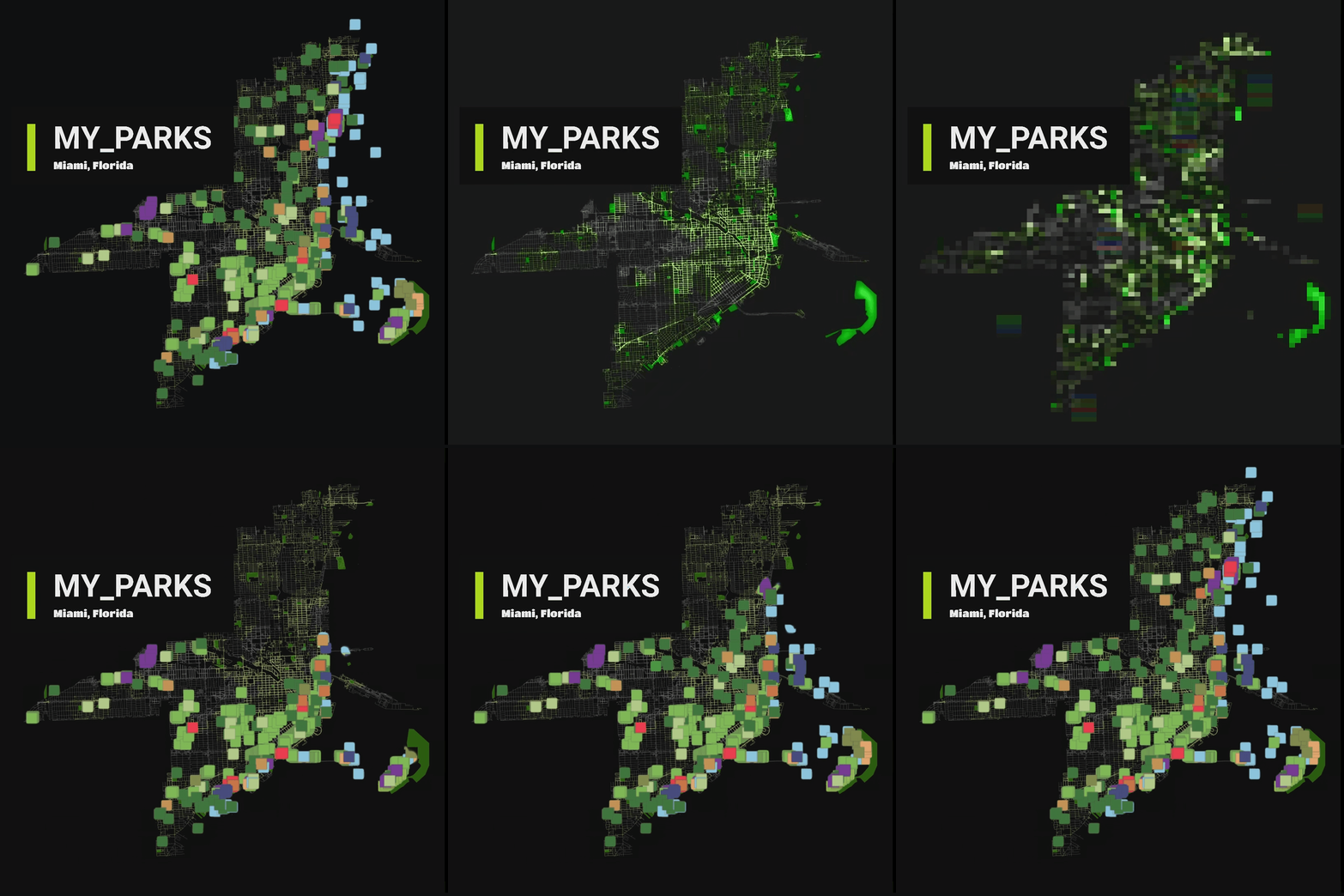
MY PARKS : Predicting Miami City’s Parks Scores based on Amenities and Businesses

Miami Parks Prediction GraphML Project

Rethinking Urban Spaces Parks and green areas are critical in cities as they provide spaces for people to meet, interact, and find a social life. They contribute significantly to the mental and physical well-being of residents, offering a natural respite from the urban hustle. Project Summary: According to google reviews, the most important factor for … Read more

100-Year Flood Risk Road Intersection Classification

Flood Risk Classification

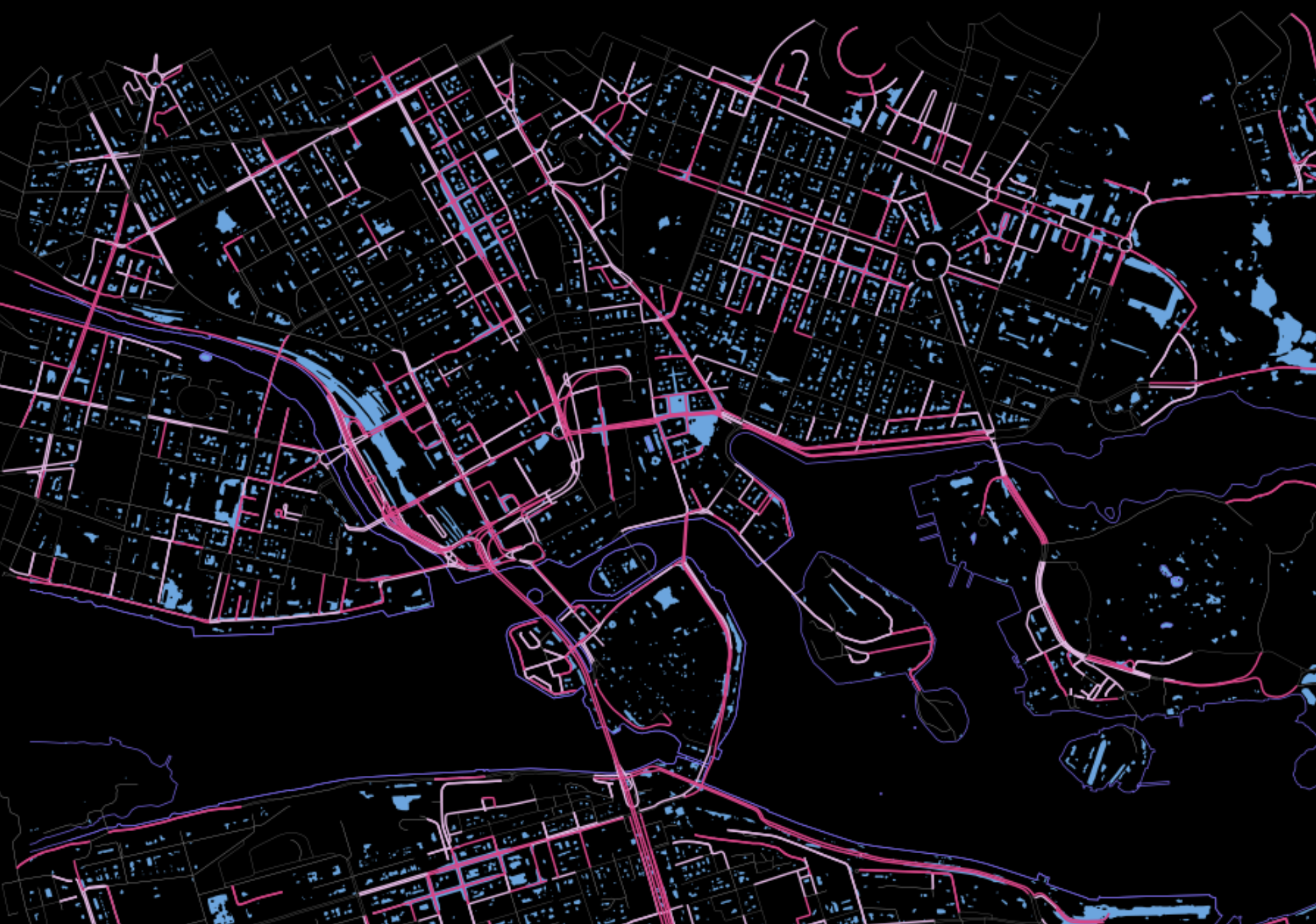
Beginnings Our project’s concept is to develop a classification model that identifies street intersections (graph nodes) in Stockholm, Sweden, susceptible to flooding during a 100-year flood event. Based on our initial research, we found that graph machine learning operates at three levels: the graph, its edges, and its nodes. With access to a 100-year flood … Read more

Genius Loci

View some of the collected data here: Street Types and Property Information Genius Loci was inspired by the work the of Sarah Williams in her book ‘Data action – Using data for public good’. In today’s data-driven world, the use of data has become increasingly pervasive, shaping various aspects of our lives from policymaking to … Read more

Machine Learning in Architectural Practice and BIM

We’ve witnessed a fascinating shift from conventional to computational approaches, responsive designs, and the era of automation. Machine Learning, a term buzzing everywhere these days, has made its mark in our industry as well. In architecture, ML, a subset of artificial intelligence, utilizes data to tackle challenges in computer-aided design by simulating various design alternatives … Read more

FireFly

Harnessing the power of drone-based photogrammetry and artificial intelligence to create a low-cost urban wildfire diagnostic tool. In recent years, the global community has witnessed a significant upsurge in the frequency and intensity of wildfires. Driven by a combination of climate change, urban expansion, and land-use practices, these fires have not only devastated vast natural … Read more