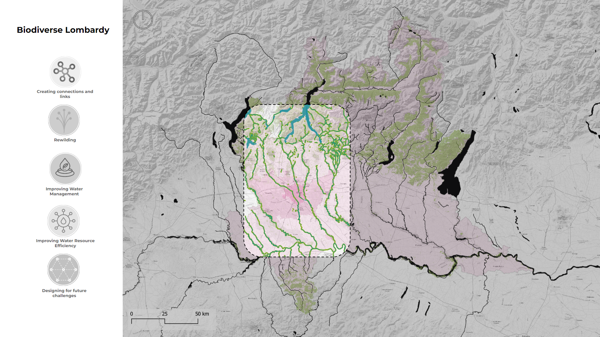
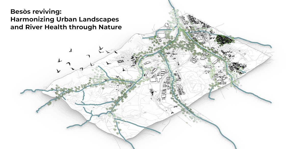
Connexió (Connection)
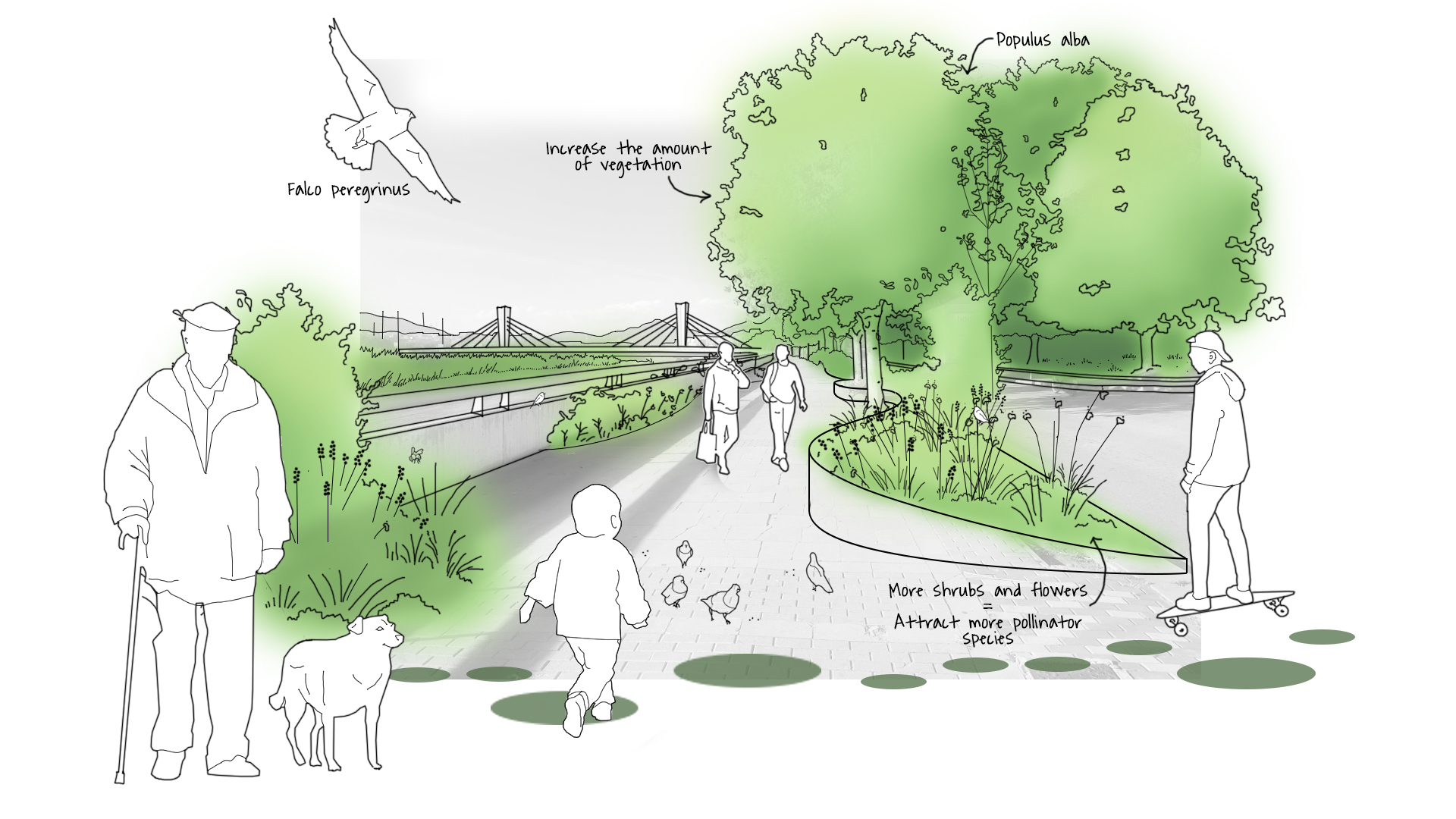
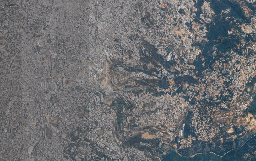
Santa Coloma de Gramenet, located to the north of Barcelona, is bordered by the Besòs River on the west and the Marina Mountain Range on the north. The city’s terrain features an irregular relief that rises to 303 meters at Mount Castellar, its highest point, a topographical character also visible within Parc dels Pins. The … Read more