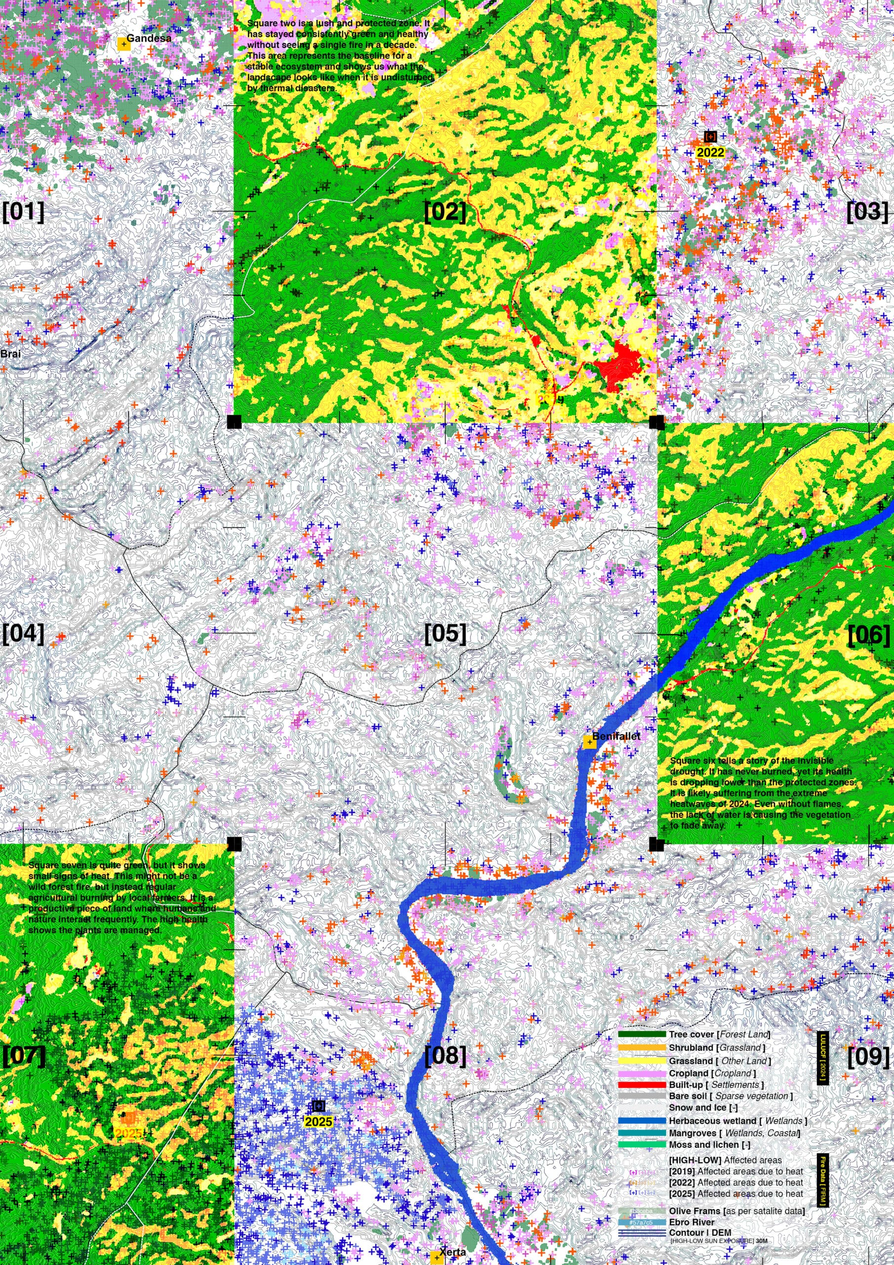
A Walk into the Third Landscape
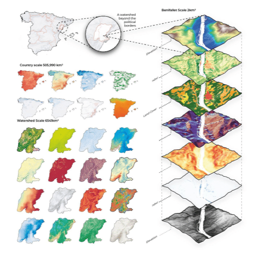
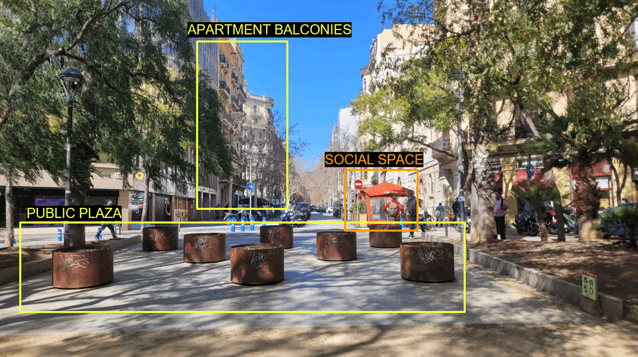
Across cities, certain spaces resist categorization. They are the unmaintained verges between a planter and a curb, the smooth underside of a bench, the patch of ground that no plan ever claimed. These residual spaces are not accidents — they are the structural byproduct of deliberate spatial organization. Wherever land is planned and programmed with … Read more