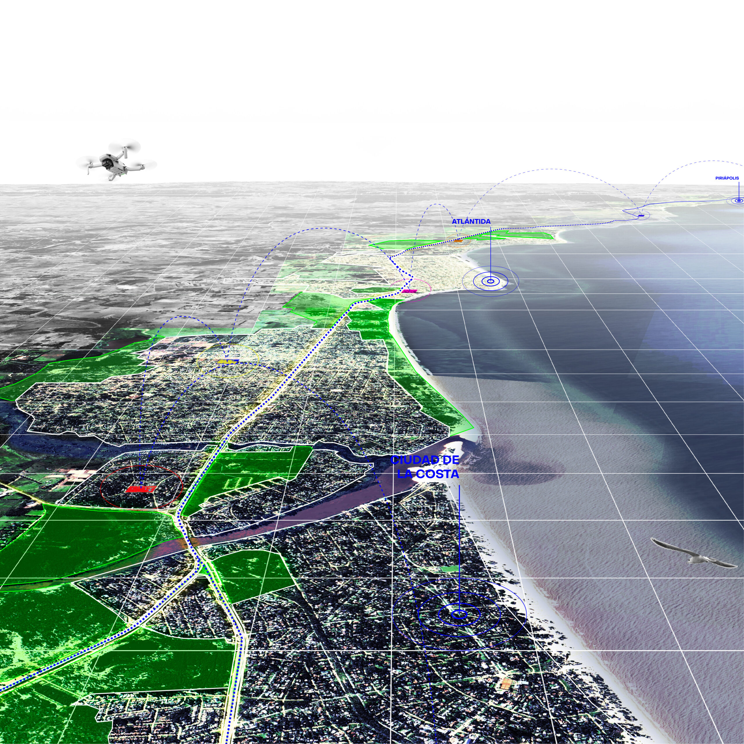
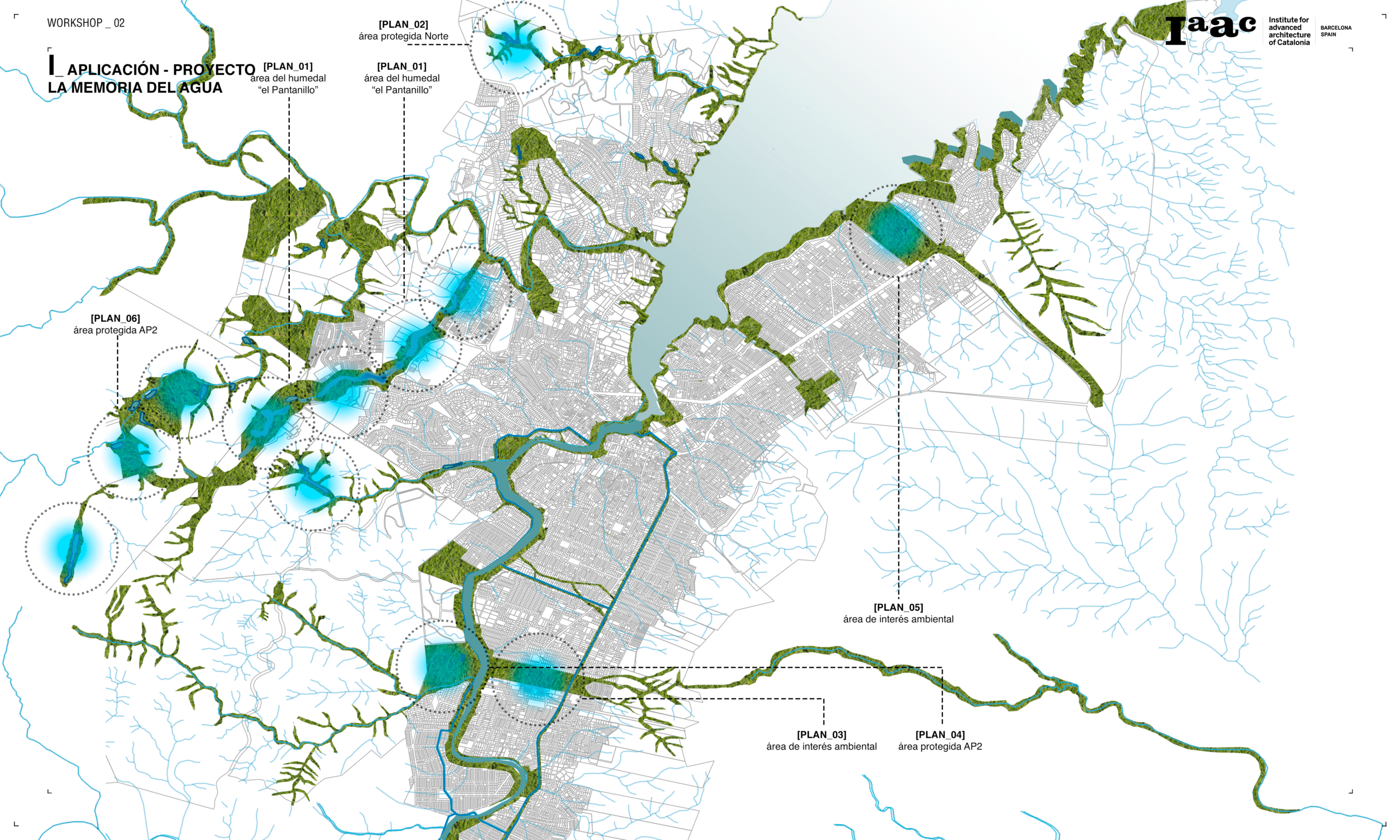
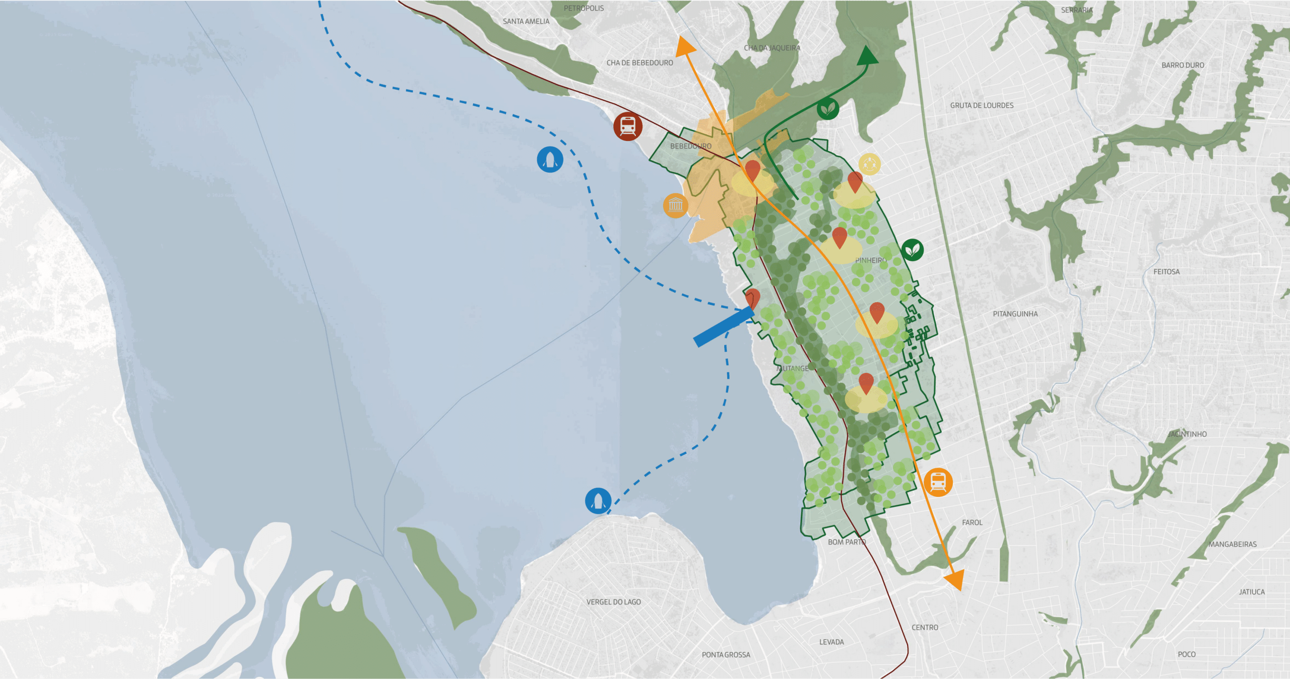
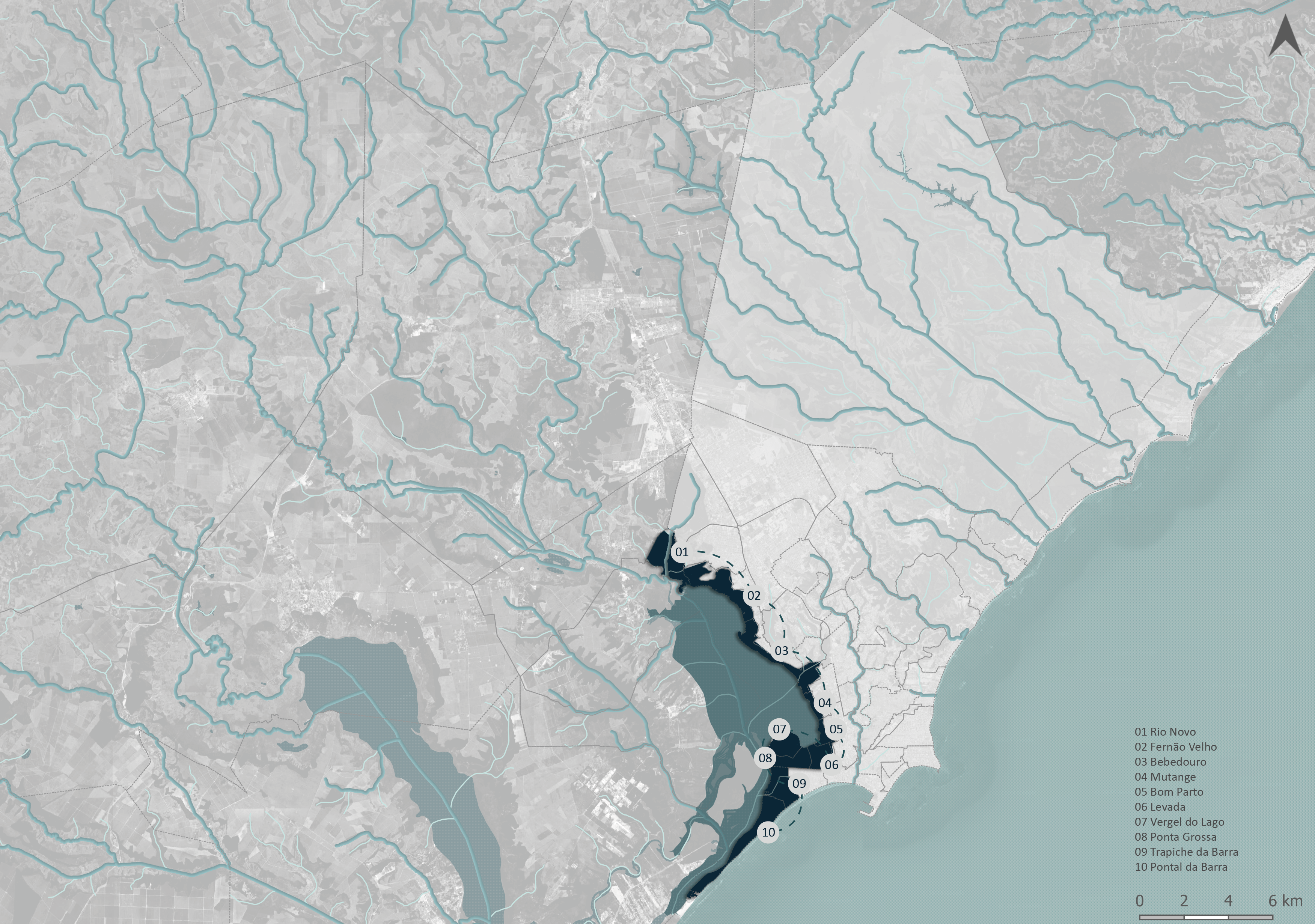
Topographical Risk + Geomorphology
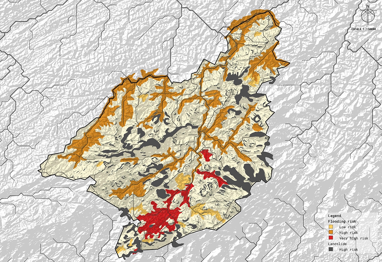
Understanding the complexity of urban flooding Across the globe, cities are facing the increasingly visible consequences of climate change, with floods and landslides ranking among the most destructive urban hazards. In Brazil, the city of Petrópolis offers a critical lens through which to study the layered vulnerabilities of urban settlements exposed to extreme rainfall, unstable … Read more