
“Building Information Modeling (BIM) in urban scale data management refers to the strategic integration of digital modeling techniques, for the thorough organization and oversight of urban infrastructure and services. This process entails crafting 3D models that encompass sets of data layers—including architectural, infrastructural, and environmental aspects—to streamline city planning, design, and operation.”
The use of Building Information Modeling (BIM) has expanded beyond its original application in architecture and construction projects. Now it also plays a role in managing data at the urban scale. Combining BIM with other technologies like Geographic Information Systems (GIS) offers a new approach to handling the data complexity of different environments. It merges detailed building data with broader spatial and environmental information to address the various challenges faced by modern cities. The versatility of this system allows it to manage data like traffic patterns, energy consumption, space utilization, building utilities, demographics, etc. – making it indispensable for efficient urban planning.
Although technologies like BIM and GIS have been around for years, effectively integrating them into planning remains a complex task that requires striking a balance between different parameters, goals, and stakeholder interests. As urban planning advances, consideration of how available data can be merged becomes crucial, for achieving outcomes in the planning process.

Problem:
Effective integration of BIM and GIS data into a comprehensive planning system is a complex task that requires striking a balance between different parameters, goals, and stakeholder interests. It can also encounter obstacles, such as conflicting data standards and the absence of frameworks to utilize its full potential.

Thesis:
The use of Building Information Modeling (BIM), as a part of managing data on a city level, despite its challenges, can considerably speed up and improve the planning process by enhancing the precision and efficiency of new urban proposals.

Objective:
The objective of this research is to explore the different methods and their effectiveness in incorporating BIM into managing urban data. It aims to investigate how this integration can improve planning processes and tackle the challenges associated with city development and urban documentation.
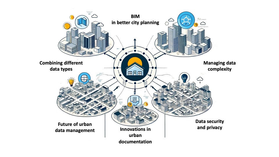
Our podcasts are focused on challenges and opportunities regarding BIM as a part of a data-driven approach to creating better cities. We explored topics such as combining different data types, managing the complexity of that data, and the possible future of urban documentation.
The Experts:
Sayjel Vijay Patel

Position: Co-founder at Digital Blue Foam
Background: University of Waterloo, Massachusetts Institute of Technology
Expertise: Urban data management, 15-minute cities
Research / Projects: Generative Pre-trained Transformers for 15-Minute City Design, From Sketch to Design: A Cross-scale Workflow for Procedural Generative Urban Design
Discussed topics
Introduction to the expert and DBF:
– Sharing Sayjel’s journey and experience with BIM and GIS.
– What is DBF (Digital Blue Foam), what it can do, and who is it for?
Challenges and strategies in integrating BIM and GIS:
– Who needs and uses this type of architectural-urban data?
– Integrating BIM and GIS data at different levels – merging data and making the most out of them.
– How feasible is comprehensive data collection for different environments (urban/rural), what is its current state, and how it can impact urban decision-making?
Looking towards the future of urban planning:
– How the future of urban decision-making will look like? Will we have documentation systems for urban projects similar to BIM?
– Artificial Intelligence and its role in enhancing data management.
Michal Latala

Position: Deputy Director for BIM & GIS at Central Communication Port
Background: Warsaw University of Technology, WSB School of Banking
Expertise: BIM in infrastructure projects, Data management
Research / Projects: CPK railway system, STRABAG Pruszkow, Transprojekt Gdanski
Discussed topics
Personal journey and project involvement:
– Michal’s professional journey, his background, and his role as the Head of BIM & GIS at Central Communication Port.
– A glimpse into the Central Communication Port. How Michal has made contributions to the project?
Data management and implementation challenges:
– The utilization of data management tools and strategies in urban infrastructure endeavors.
– The complexities of integrating BIM with systems like GIS, with a focus on overcoming project challenges related to detail levels and access control.
– Key benefits of combining BIM and GIS in terms of time, cost, and flexibility.
Future outlook:
– Michal’s perspective on the future developments in BIM and its transformative potential in large-scale urban projects.

Podcast conclusions
Integration as the new standard:
In the upcoming years, it is expected that incorporating BIM fully into the urban data ecosystem will become the norm. This change will offer a solution for handling intricate data more efficiently with larger participation from a broader audience.
Enhanced decision-making and efficiency:
The integration of BIM with urban data management systems is expected to improve, speed up, and simplify decision-making procedures leading to streamlined project schedules and cost reductions. As BIM progresses to include real-time data and predictive analytics stakeholders will have the ability to adjust models to achieve maximum efficiency based on changing urban requirements.
Challenges and opportunities:
Right now, BIM-GIS tools have both their obstacles and chances for growth. Moving forward, the goal is to develop better tools that are both robust and user-friendly. By addressing data integration challenges we can unlock new possibilities for managing and planning both urban and architectural developments to shape a better environment.
