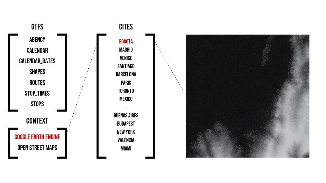
The General Transit Feed Specification (GTFS) is a standardized format designed for the distribution of public transport information globally. This format facilitates the integration of public transportation systems in cities worldwide with popular route planning platforms like Citymapper, Waze, or Moovit. By doing so, it enables users to access information on transport availability and plan their journeys effectively. GTFS serves as a valuable tool, offering real-time data on routes, schedules, and the distribution of trips throughout the day, providing crucial insights for both transport planners and users alike.
Moreover, the paths of the routes and stops are georeferenced, offering a cartographic representation of the system. This means that it can be spatially correlated with datasets such as terrain to analyze the variation of elevation profiles of each journey in relation to length or with contextual layers that allow obtaining valuable conclusions about transport accessibility.
As a standardized language for conveying transport information, GTFS serves as a foundation for developing versatile parametric tools that can adapt to the diverse transport landscapes of cities worldwide. This showcases the extensive applicability of this unified open-source format, ranging from assisting individual users in trip planning to revealing the way cities breath as mobility patterns change across different temporalities and corridors within cities.
Illustrating this with a case study, Bogota, the capital of Colombia, heavily relies on its Bus-Rapid System of TransMilenio for daily mobility. With 98 routes utilizing segregated lanes, the TransMilenio Trunk System links the main corridors of the city, facilitating nearly 40 thousand daily journeys covering a total distance of 700 thousand kilometers. The main concentration of transport supply clusters around the center, especially around Zonal Planning Unit (UPZ) La Sabana, in the heart of the city center.
GTFS proves to be an invaluable resource for gaining insights into Bogota’s public transport system, and its consistent structure transforms it into a parametric tool applicable for analyzing, visualizing and comparing public transportation networks in cities globally.