Laser Cutting – Material Repositories
Material repositories consist of a timeline to estimate the demolition of building blocks, as an identification method for materials extraction based on the circular economy’s principles from 2022 to 2072.

Choosing a study area La Dreta de L’Eixample neighborhood, we identify the buildings which can be used as material extraction banks based on their age and energy certificates. The first buildings that can be used as material repositories are those with building age over 72 years old and energy certificate F+G.

For the laser cutting process the below production calculations have been used:
Laser Cutting Material: 5 mm Transparent Acrylic
Base Material: 5 mm MDF
Laser Cutting Machine: Rayjet 500
Workpiece volume: 150x150x50 mm
Three different laser-cutting methods have been chosen for the mapping of the layers:
- Cutting (Green Color) for the Building Blocks
- Marking (Blue Color) for the Building age density
- Engraving (Red color) for the Energy Certificates


CNC Milling – Topography of Tears
Permeability index
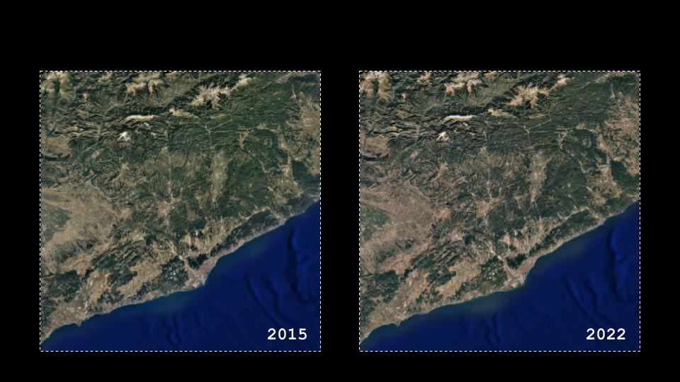
We selected as the study area a part of the eastern area of Catalonia, 3673 square kilometers. The project focuses on the soil permeability decrease because of the green loss. Furthermore, the lack of water percolation as a consequence of excess water run is likely to occur at the risk areas.

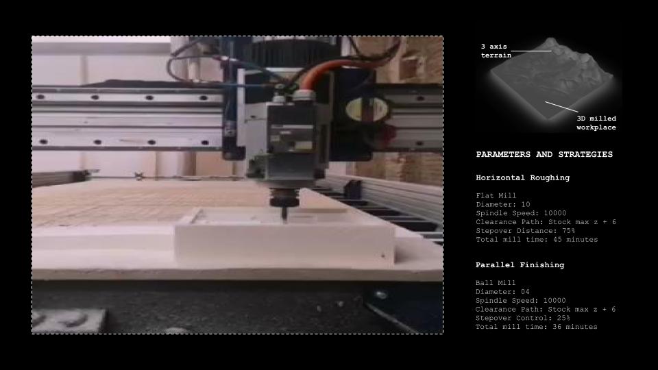
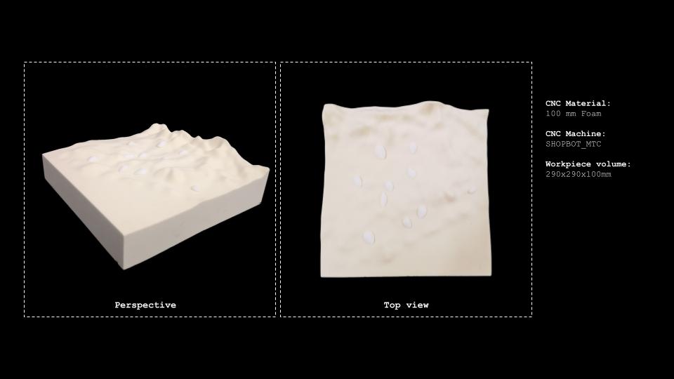
For the creation of our 3D terrain model we used CNC milling methods with the below parameters:
Horizontal Roughing | Flat mill
- Diameter: 10
- Spindle speed: 1000
- Clearance path: Stock max z+6
- Stepover distance: 75%
- Total mill time: 45 minutes
Parallel Finishing | Ball mill
- Diameter: 04
- Spindle speed: 1000
- Clearance path: Stock max z+6
- Stepover distance: 25%
- Total mill time: 36 minutes
Projection-Mapping – Topography of Tears

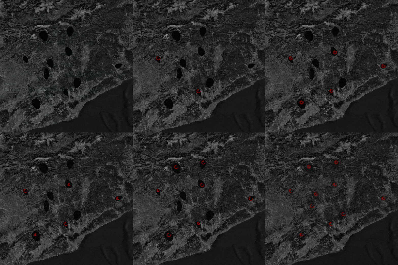
For the Green loss analysis, we visualized the green density of the area with the use of a mesh, where dark cells represent high levels of density, while the light ones the low green density areas with the highest risk of permeability.

3D Printing – Topography of Tears
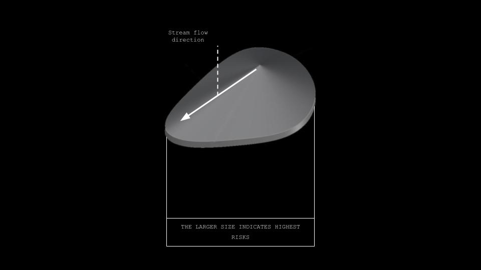
For the visualization of the areas with the highest permeability risk, we used the shape of tears, as a metaphor tool for communication between risk areas and waters. The larger size of the tears indicates the highest risk of the area, while the slope of the shape indicates the stream’s flow direction.

Projection-Mapping – Final Videos
Topography of Tears is a project of IAAC, Institute for Advanced Architecture of Catalonia developed in the Master in City & Technology 02 – 2022-2023 by the student(s) Yohan Wadia and Maria Magkavali during the course MaCT02 22/23 Design for Interaction and Fabrication with Cristian Rizzuti . Shyam Francesco Zonca .

