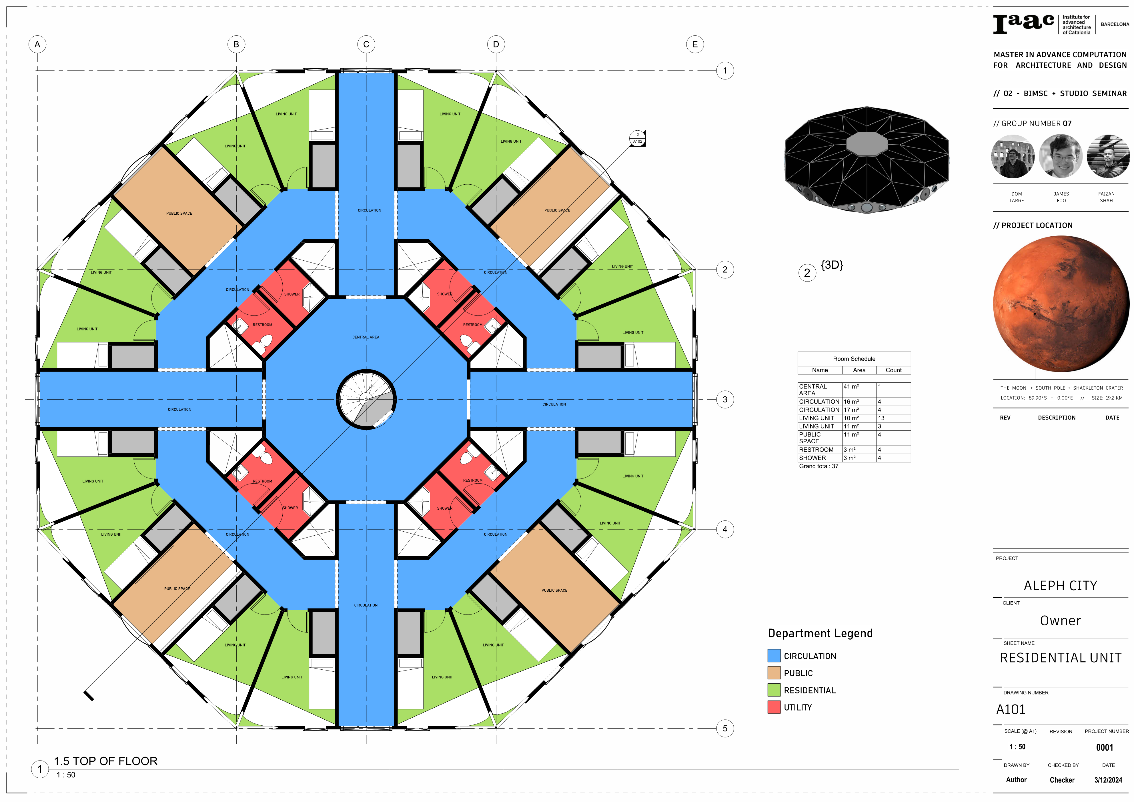
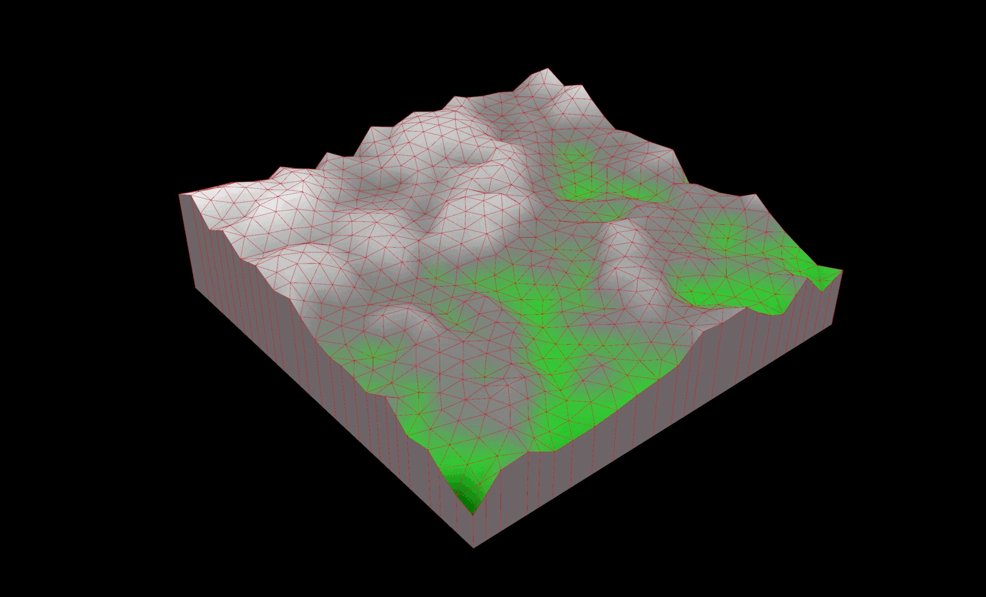
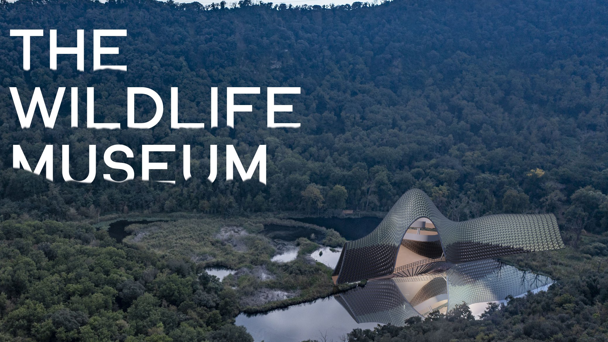
The Re-iterating Maze
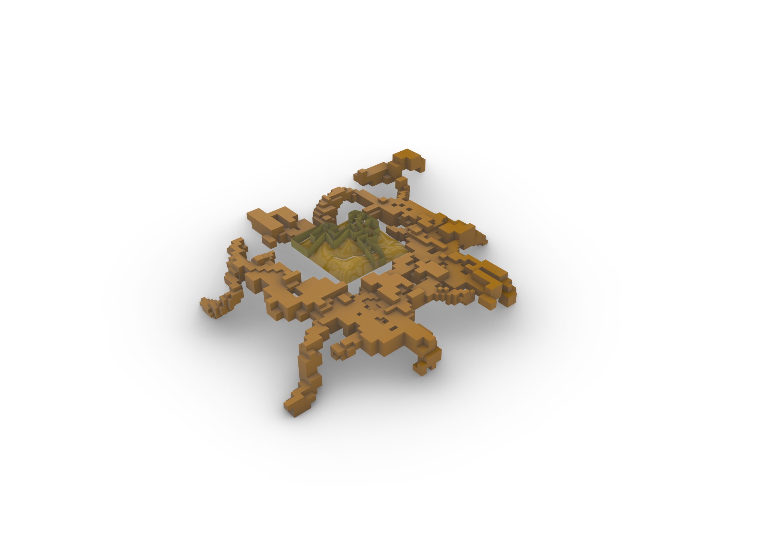
The Re-Iterating Maze helps inmates at Alcatraz develop meditative practices through rehabilitation, using their sentence to make a more peaceful existence possible. Our concept allows prisoners a mindful form of exercise, allowing them to use their time outdoors exploring multidimensional pathways. Mindful walking encourages the brain to focus on the activity of traversing a determined path. By … Read more