During the Master in City & Technology + Thesis Project, students have the unique opportunity to work for an additional time of 9 months on an Individual Thesis Project, focused on the development of one research or pilot project based on the student’s interest. IAAC supports the student in selecting their Thesis Project topic in order to better orient them according to their future career interests and opportunities. Each student is assigned one or more Thesis Advisors that follow the development of the work throughout the year.

Filters

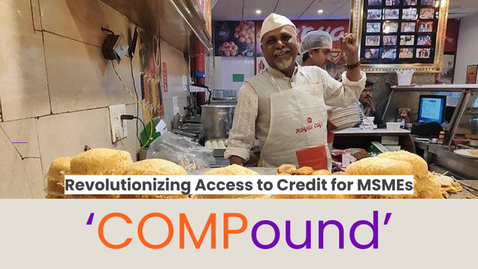
‘COMPound’ – Revolutionizing Access to Credit

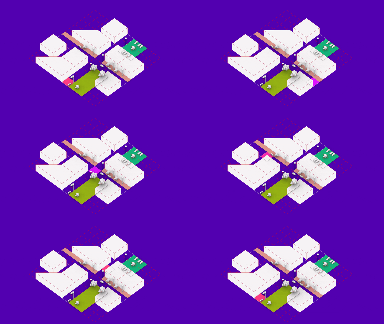
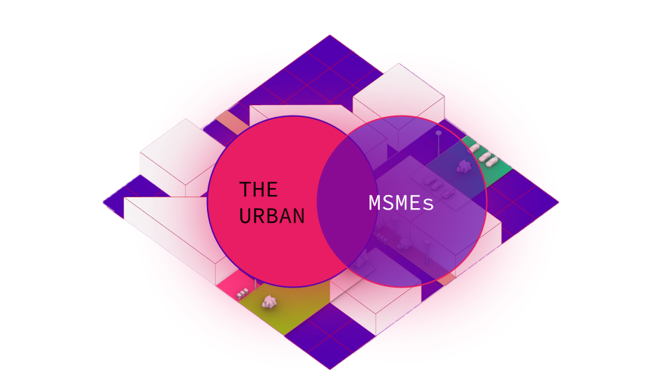
‘The project envisions the use of novel data collection strategies for the purpose of increasing access to formal credit for MSMEs in the F&B Space. Across the globe, cities face a pivotal challenge: unlocking the potential of their micro, small, and medium enterprises (MSMEs) to drive both urban transformation and national economic growth. These enterprises, … Read more

CARABASSES

The aim of this workshop was to propose an interview in one of the many farms in Parc Agrari complex. It is understood by local municipality and consortium of the park that the whole Parc Agrari has been suffering pressure from the real state market, in order to give the land up for the construction … Read more

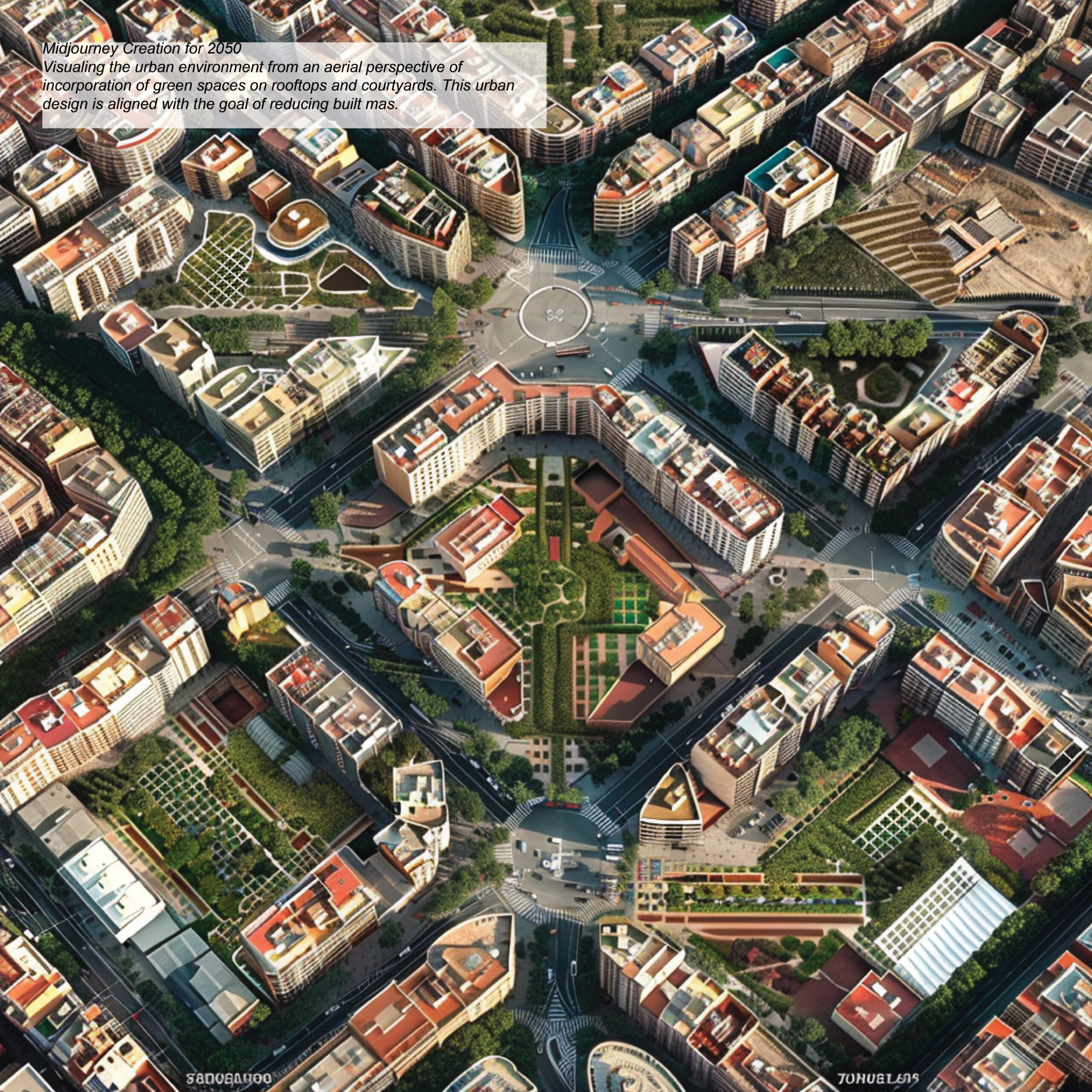
Guidebook on Urban Degrowth

The Case of Tourism in Barcelona The “Guidebook on Urban Degrowth” explores applying degrowth principles in urban planning to promote social well-being and ecological equity in cities. This thesis develops guidelines to shift from high-consumption economic models to those that emphasize environmental balance and social equity. Focusing on Barcelona, it addresses the challenges of over-tourism, … Read more

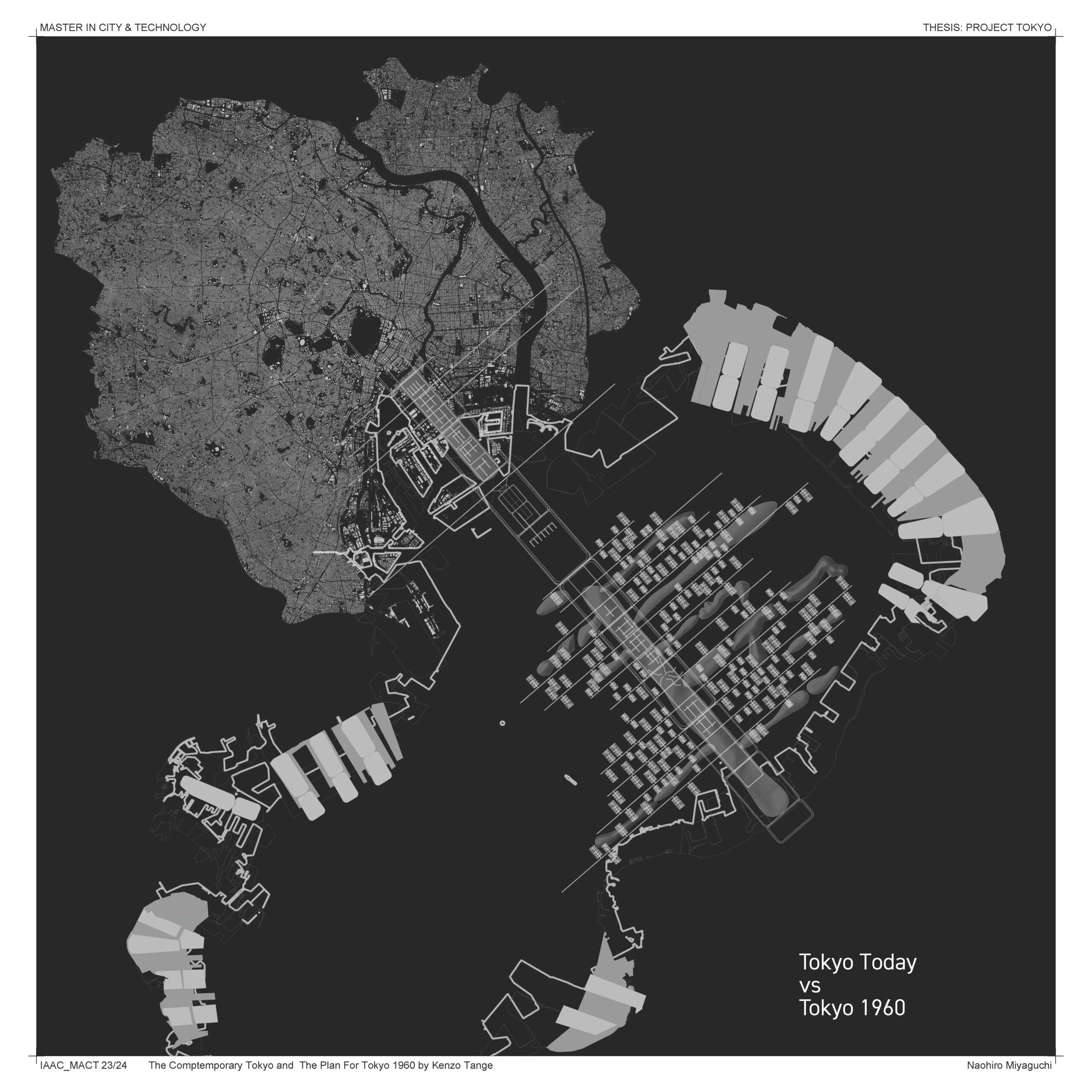
PROJET TOKYO

Frist Research Mebolsim What is Metabolism? Building of Metabolsim Masterplan of Metabolism Comaprison, Masterplan Tokyo by Kenzo Tange vs Comptemporary Tokyo Comaprison1 Theory Comaprison2 City Plan Comparison3 Area plan Comparison4Building Comaprison Conclusion

WHAT IS ADVANCED AIR MOBILITY?

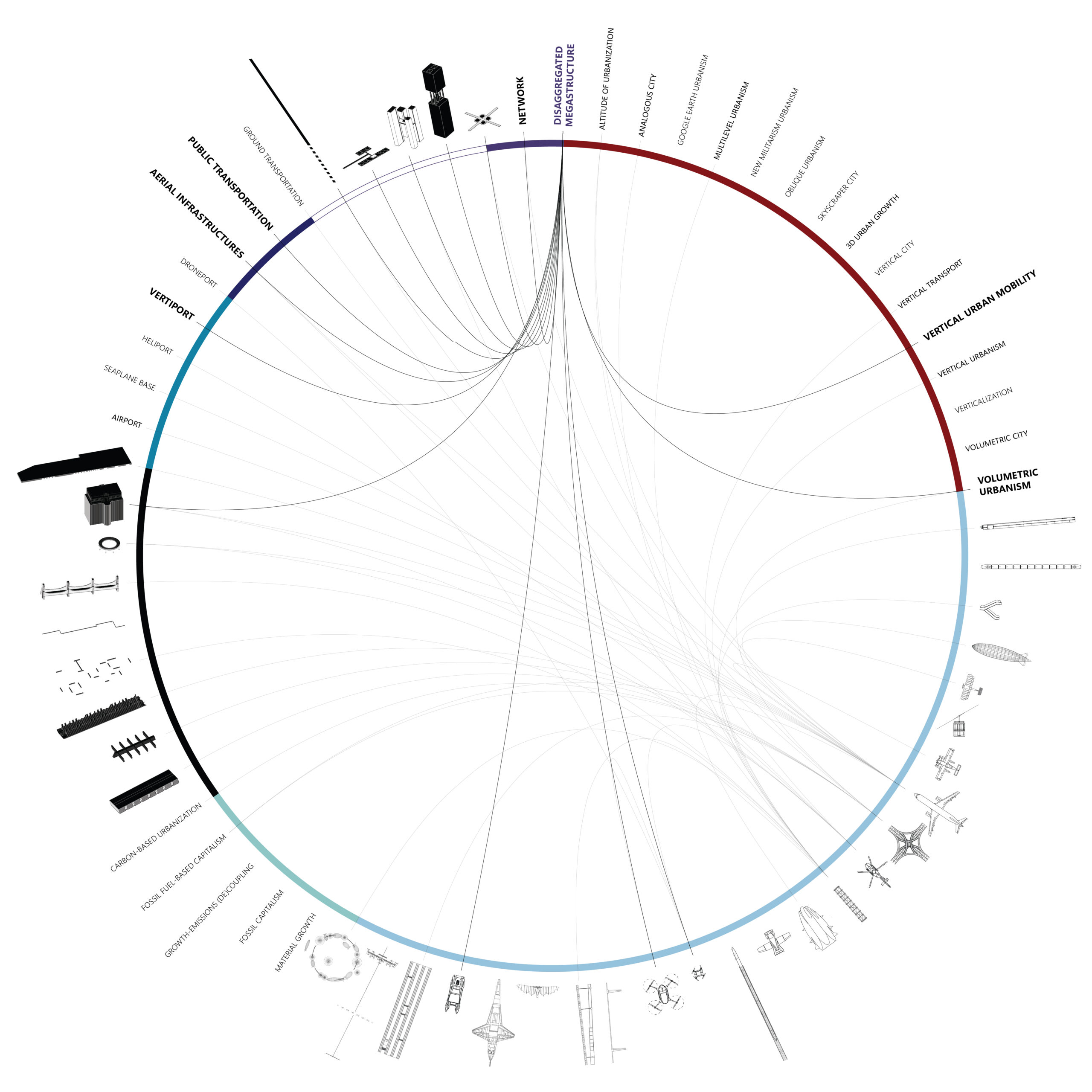
A multidimensional and multiscalar exploration of the emerging Vertical Urban Transportation landscape. [A] INTRODUCTION “Advanced Air Mobility (AAM) is a rapidly-emerging, new sector of the aerospace industry which aims to safely and efficiently integrate highly automated aircraft into the NAS. AAM is not a single technology, but rather a collection of new and emerging technologies … Read more

MetaGrid

Metagrid represents a new way to explore urbanism, tailored for the context and its stakeholders. This project redefines ‘Agriculture’ to encompass not only the process of production but also broader elements like programs, solicitations, patterns, matters, behaviors, and networks, enabling innovative, open strategic approaches. Metagrid aims to reactivate Parc Agrari in Llobregat through Land Art, … Read more

REAP WHAT YOU SOW

This is the site, Llobregat Delta area. You can see the map, Pink and Red area. Pink is exisitng Agriculture area and Red is Abundant area which is cultivated in the past.The number of abundant areas is increasing little by little in Llobregat. Our proposal, we think what we can design this area. These is … Read more

PROJET TOKYO ?

2nd research, Comparison masterplan Tokyo by Kenzo Tange vs the existing Tokyo Why Tange Kenzo Tange, as you know, is one of the most famous architects in the world. He has left behind many architectural works in Japan and around the world, He is also an urbanist. In planning the master plan for Tokyo, he … Read more

Bits and Pieces

Pictures and symbols are valuable tools to communicate data. Pictures contain input data and representative symbols, generated from points, capture outputs. Pictures, or raster images, are often not geolocated and lack methodological explanation. Here, using the Bitmap+ plugin, pictures of urban conditions are tapped for the data they contain using the coloration of the image … Read more

Tourism and social development, Balearic Island

INTRODUCTION The heavy working hours after the industrial revolution had put leisure to a more and more important role in contemporary life. People want to travel to ‘escape’ and compensate themselves from work and daily life. The practice of leveraging tourism for economy growth has been proved useful in Spain since the 1960s. And this … Read more

Navigating Inequality

Introduction Wealth disparity leads to social and economic challenges resulting in social exclusion. 21.6% of population in the EU are at risk of social exclusion. A study confirmed that 61.7% of socially excluded people tend to be segregated. Understanding the origin of the word Segregation – initially used to set sheep apart from the flock, … Read more

Routing Accessibility

Background Public transportation plays a crucial role in urban planning globally. Extensive research indicates that bus transit has become a highly favored mass mobility system. This preference stems from its cost-effective infrastructure, flexible planning, and discrete architecture that supports incremental growth. Bus transit systems exhibit lower infrastructure costs compared to rail or subway networks, making … Read more

Environmental Asset Resilience

The Environmental Asset Resilience (EAR) Tool is a response to the pressing global challenge of environmental instability, particularly in urban areas. These areas face substantial costs associated with environmental problems and climate change. However, decision-making in addressing these issues is complicated by conflicting priorities, limited resources, and a lack of expertise. The EAR Project aims … Read more

FOLLOWing FOOT.AI

Unraveling Footfall Patterns for Enhanced Urban Planning: A Spatial and Temporal Analysis Introduction Footfall prediction plays a crucial role in urban planning decision-making processes. Understanding the intricate relationship between footfall and its two dimensions—space and time—is essential. In this project, we delve into the workflow and key findings of a project aimed at comprehending the … Read more

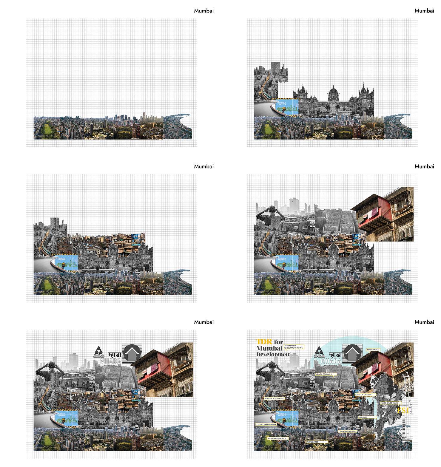
ONE MUMBAI CITIZEN TOOL

INTRODUCTION Urbanization poses escalating threats to ecological systems, necessitating the creation of urban ecological commons. This exercise focuses on Mumbai’s metro network, comprising 357 kilometres, 16 lines, and 38 interchanges, as a context for enhancing neighbourhood biodiversity through strategic environment plugins. By leveraging NDVI mapping from Google Earth Engine, areas with high ecological threats and … Read more