La Barceloneta: A District in Transition
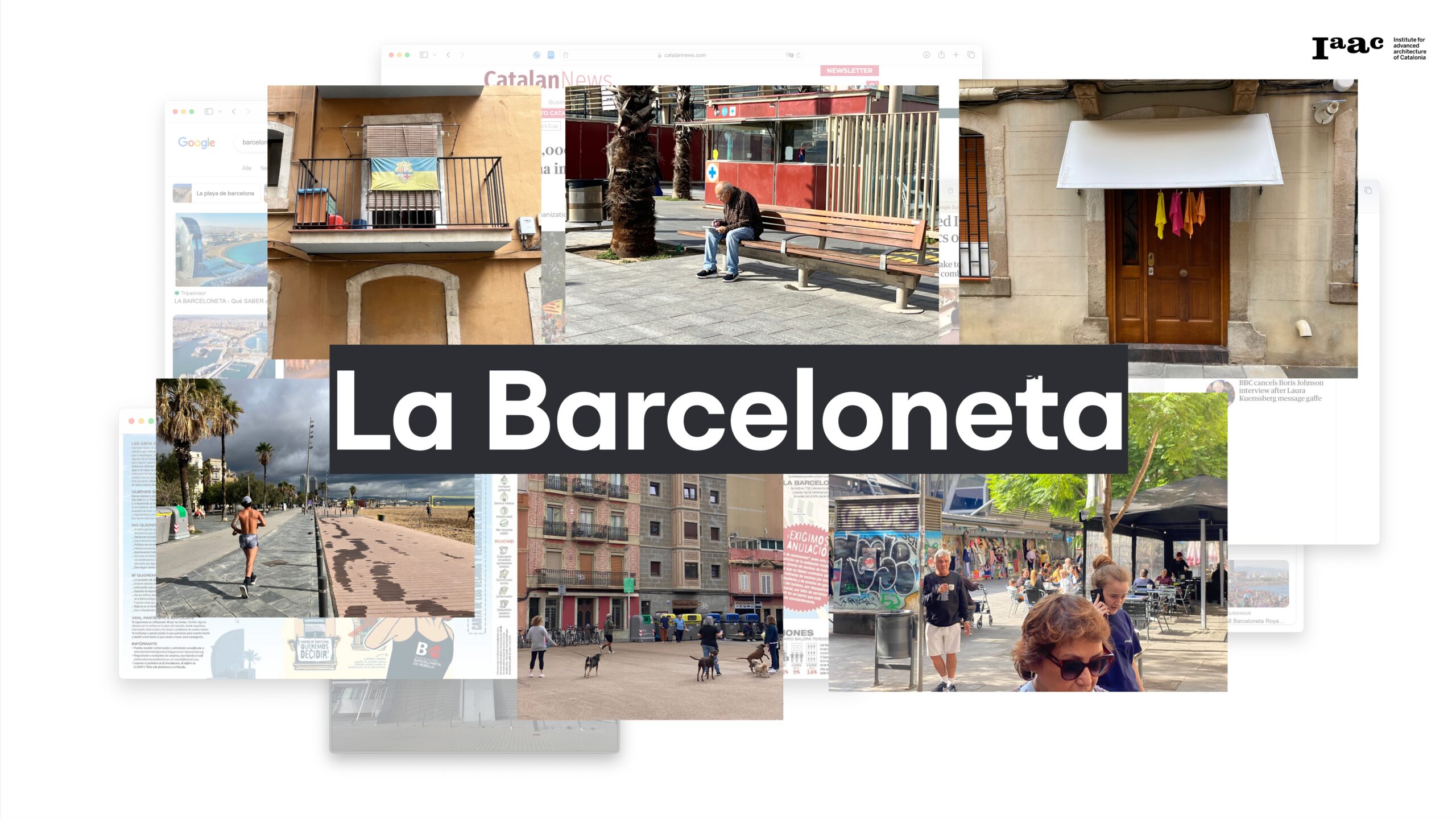
As part of the Master in City & Technology Introductory Workshop, our team was tasked with studying La Barceloneta, a district characterized by its complex layers of social, economic, architectural, and administrative systems. This project aims to explore these dimensions, highlighting the interactions between tourism and the local community in one of Barcelona’s most iconic … Read more