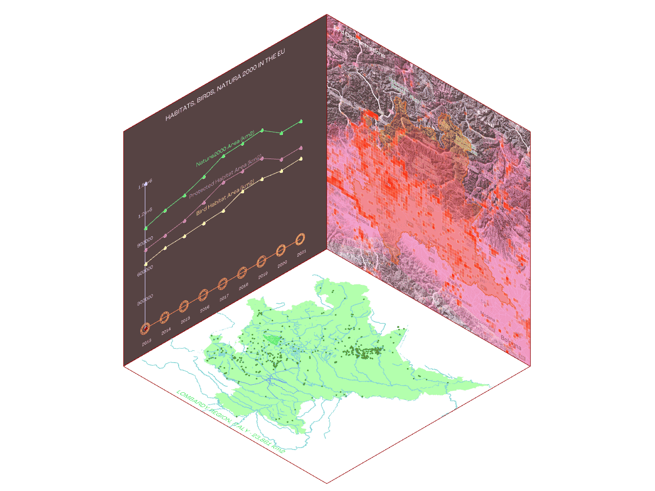
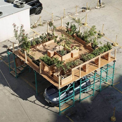
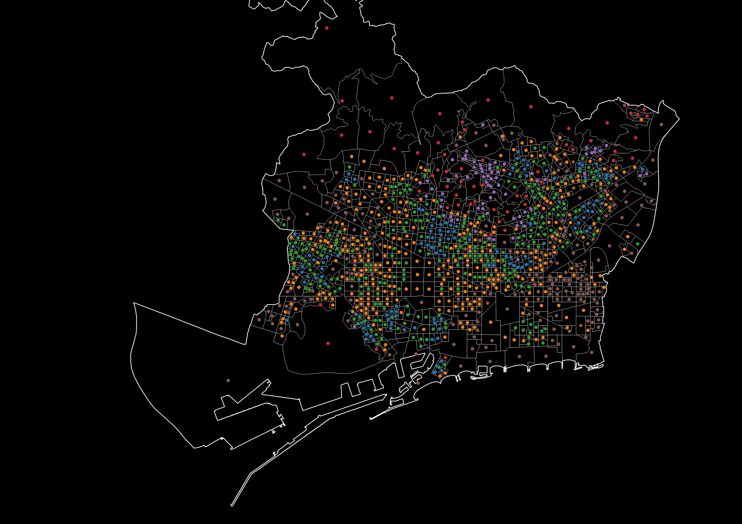
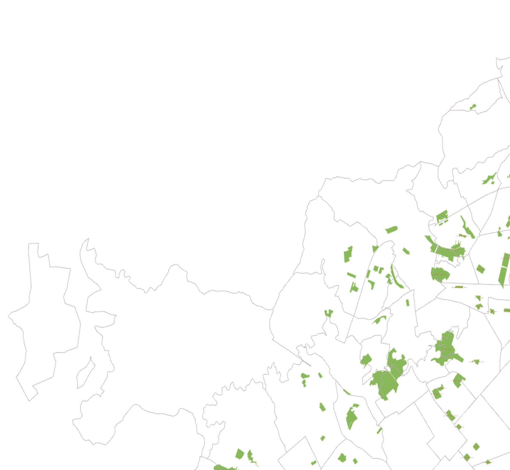
IAAC’s Master in City & Technology (1 or 2-year program) is a unique program oriented towards redefining the analysis, planning, and design of twenty-first-century cities and beyond. The program offers expertise in the design of digitally enhanced, ecological and human-centered urban environments by intersecting the disciplines of urbanism and data science. Taking place in Barcelona, the capital of urbanism, the Master in City & Technology is training the professionals that city administrations, governments, industries, and communities need, to transform the urban environment in the era of big data.


Filters
Course

Diagnosing land health

Introduction This project is a short visual story, trying to portray the opportunities and problematics of poor landscapes. It quickly touches upon a little fragment of precision farming- natural vegetation index (ndvi)- that focuses on plant health estimation remotely, from satellite. Ndvi has become the most commonly used vegetation index in remote sensing, especially with … Read more

Puerto Rico – population and landscape relation

The idea of combining population density and terrain relief allows to represent connectivity of most relevant settlement areas for future urban and rural building development. The choice of Puerto Rico land was made because of relatively compact territory for this software as well as its pronounced mountain ranges. Today’s migration sprawl challenge is well-known and … Read more

A Parallel City for Pollinators

Introduction to Pollination The project attempts to study and research the possibilities of creating a green, three-dimensional corridor for pollinators in a specific area, the historical city center of Madrid, connecting Madrid’s most prominent green park “el Retiro” in the east to the “Casa de Campo” natural reserve in the west. In particular the proposal … Read more

Topography of Tears

Laser Cutting – Material Repositories Material repositories consist of a timeline to estimate the demolition of building blocks, as an identification method for materials extraction based on the circular economy’s principles from 2022 to 2072. Choosing a study area La Dreta de L’Eixample neighborhood, we identify the buildings which can be used as material extraction … Read more

“Water Bodies towards crisis management”

Potential Conflicts related to flooding phenomena in highly urbanized and agricultural areas.

Almost every day, we are confronted with dramatic images of communities and environments incrisis . Flash floods have recently become one of Greece’s most common natural occurrencesafter wildfires. Flooding occurs due to rapid rainfall and heavy storms, from rising river levelsor melting snow.Deforestation, poor soil quality and rapid urbanization significantly contribute to the genesis of … Read more

HANDS OVER BEIRUT and GREEN’IN CORRIDORS

HANDS OVER BEIRUT Beirut Blast impact assessment visualization Neighborhood: Mar Mikhael (Beirut port)/ Gemmayze – Bashoura – Ashrafieh The Area chosen has received the most impact and visualization of the plot of land where buildings got damaged but on a different scale is relevant to understand the shock wave repartition. To physically be able to … Read more

Costanera Sur Ecological Reserve

“Costanera Sur” Ecological Reserve gathers the largest amount of biodiversity within the City of Buenos Aires and extends over 350 hectares. It houses more than 2000 animal species, including birds, mammals, amphibians, and reptiles. And it has native vegetation, such as its grasslands of grasslands and alder forests. The three interfaces that we focused on … Read more

FloodADAPT RB

Barrio Rodrigo Bueno Understanding the environmental challenges and climate change, some cities are affected earlier than others. For this we are focusing on Buenos Aires, Argentina on a particular neighborhood, Rodrigo Bueno. After analyzing the current environmental impact challenges and assessing the future impacts we have suggested a flood resilient strategy and adaptative interventions for … Read more