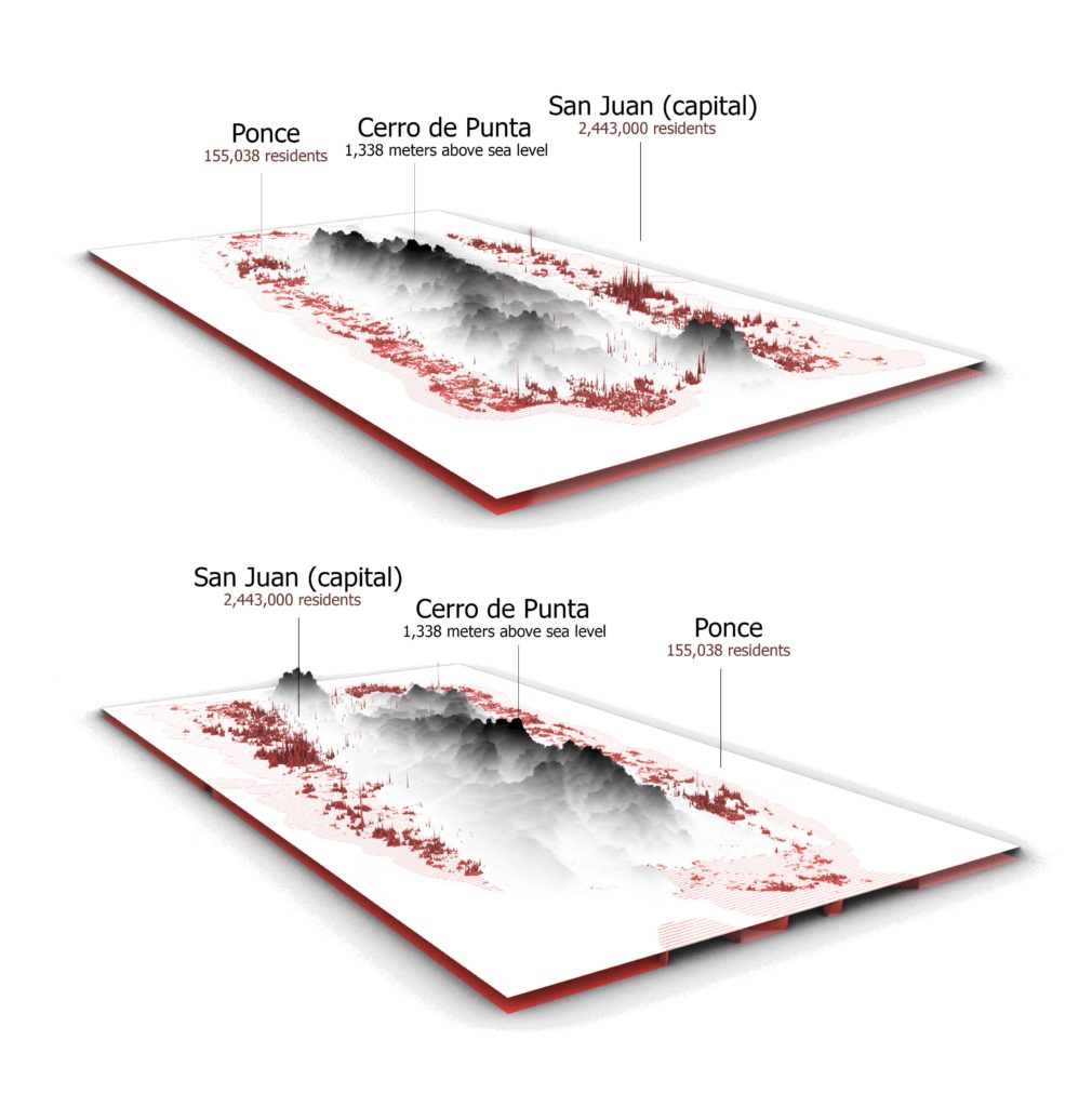
The idea of combining population density and terrain relief allows to represent connectivity of most relevant settlement areas for future urban and rural building development. The choice of Puerto Rico land was made because of relatively compact territory for this software as well as its pronounced mountain ranges. Today’s migration sprawl challenge is well-known and widespread in the South America region. The concept of this map could be the new solution method. In addition, map represents how population defines geographical borders of country in the same way.