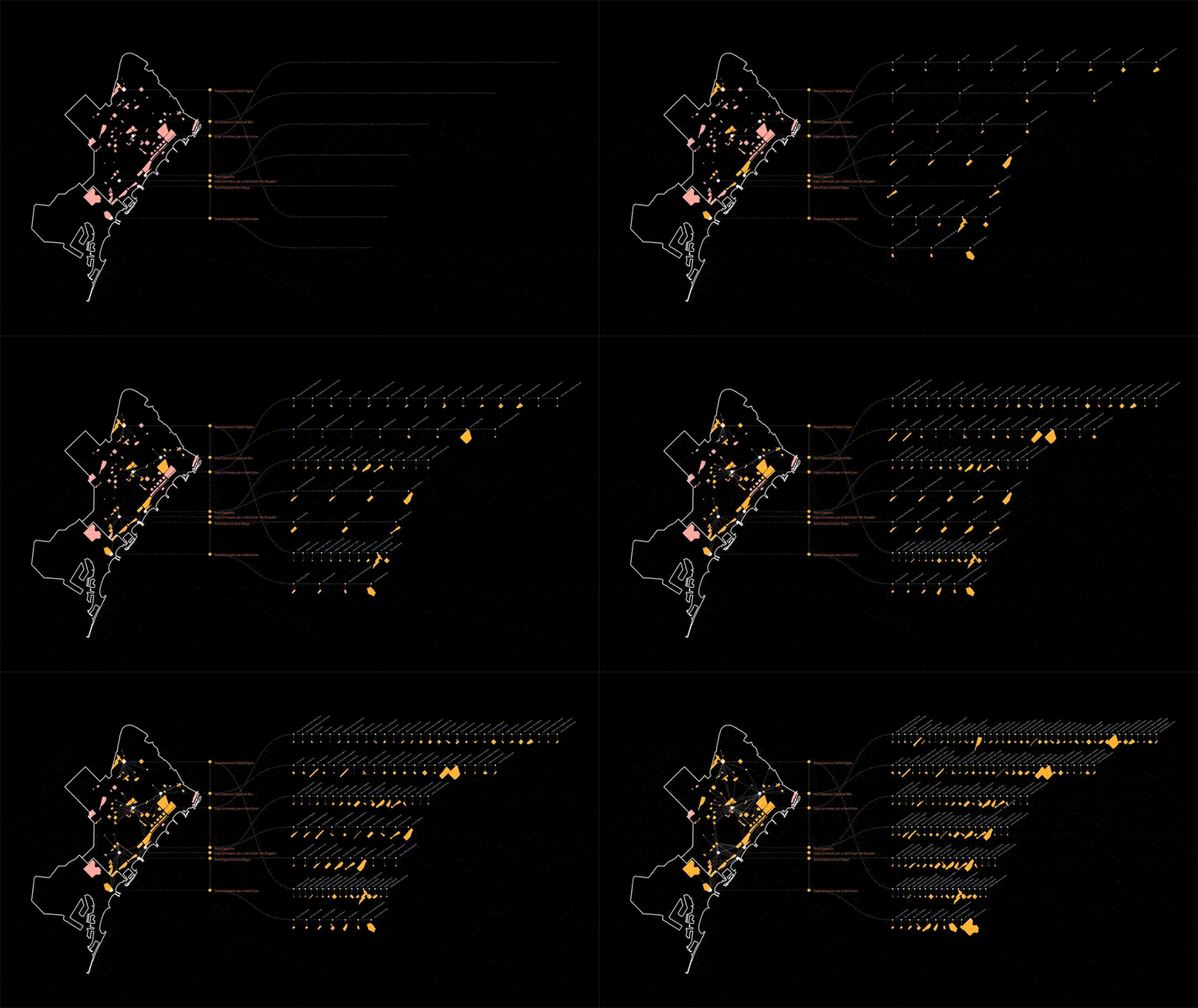
The aim of the Computational Urban Design course is to empower students with the capacity to fully understand and exploit computational thinking in order to design complex algorithmic pipelines from raw data to design.


Syllabus

Credits: MaCT01 2021/22 student Yohan Wadia

Computational Urban Design course exploits Grasshopper 3D as the main computational tool because of its intuitiveness, and its large use in the AEC and the planning field. Despite no prior knowledge of programming is required, throughout the course students will master advanced computational logics that will enhance their design workflows in accomplishing the challenges of this course, and of the future profession more in general. 

After an initial introduction on the interface and the basics, the goal of the first part of the course is to establish a clear methodology to import and visualize data in Grasshopper. Participants will become familiar with the complexity of data-informed processes and will experience how simple computational logics can deeply alter the way in which they approach an urban project. Consequently, the second part of the course will focus on the application of iterative computational processes to explore and create design solutions – and so – to process and create-by data. Participants will be challenged with a portfolio of advanced logics that they will independently analyse to address selected urban issues, achieving results that would remain inaccessible otherwise. 


Faculty


Projects from this course

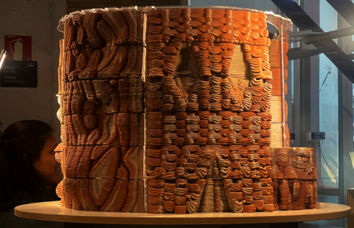
Heatwave

Additive manufacturing has opened up a vast array of possibilities to the creation of more sustainable but also salable designs that can address critical issues in our environment. In the context of architecture, multi-material 3D printing opens the door for an opportunity to embed intelligence into the surfaces in our built environment through material selection … Read more

“Are you Happy?”

Data visualization “World Happiness Report up to 2022” “Are you Happy?”“Yes! I am!!” You may answer immediately,  But I don’t answer like you.Of course,  I’m not unhappy but, “Happy??” Why don’t I say Yes? Is this due to national character? If I compare each country on the map, I may know some hints. Data quote:  Kaggle “World Happiness … Read more

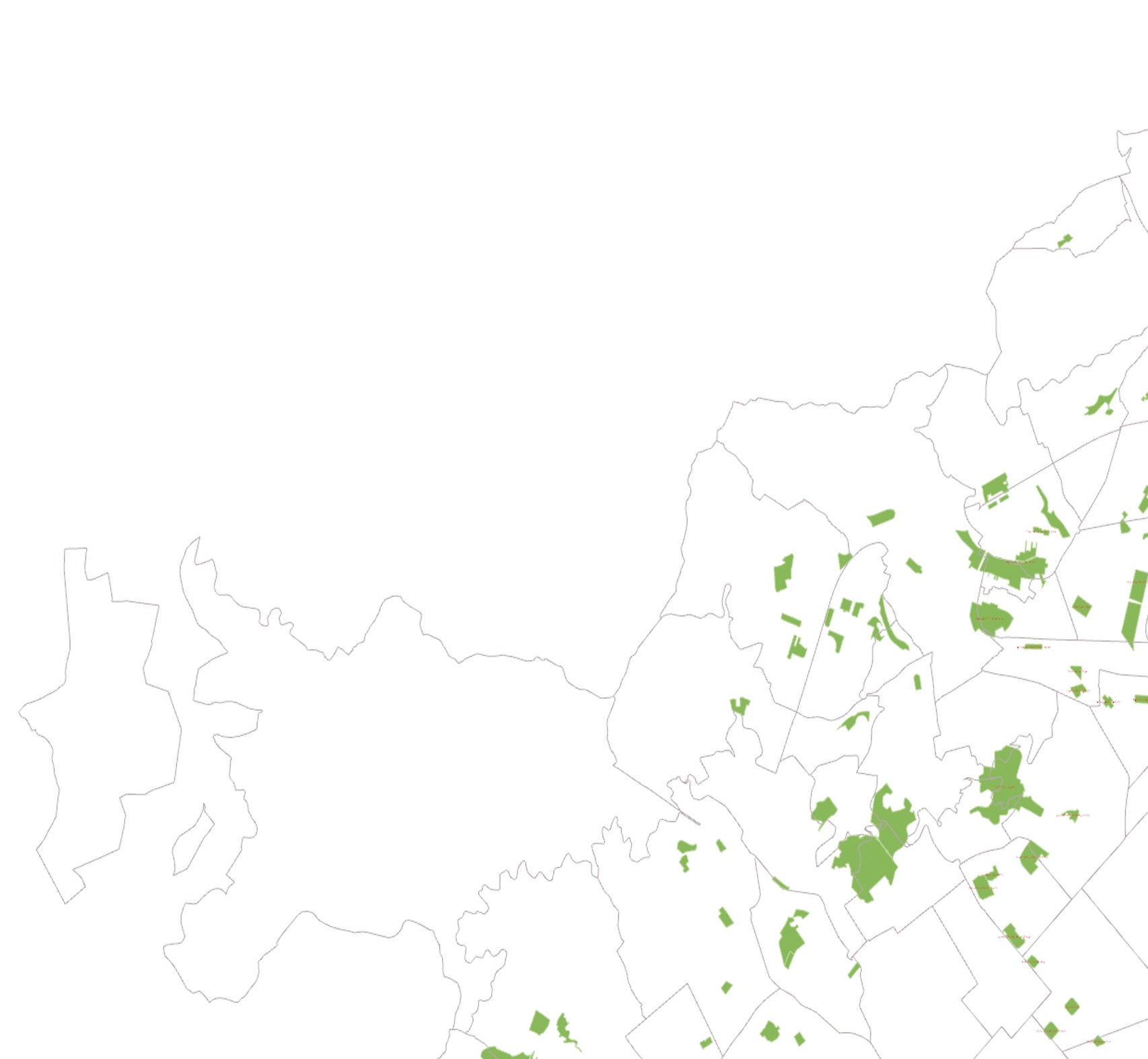
The Scenic Route

Finding the greenest bicycle path that connects all the parks in Barcelona The shortest walk connecting all the parks was computed based on the road map. The existing bicycle lane does not connect all the parks in Barcelona. Hence, a second shortest path was created by pulling points from the road map to the bicycle … Read more

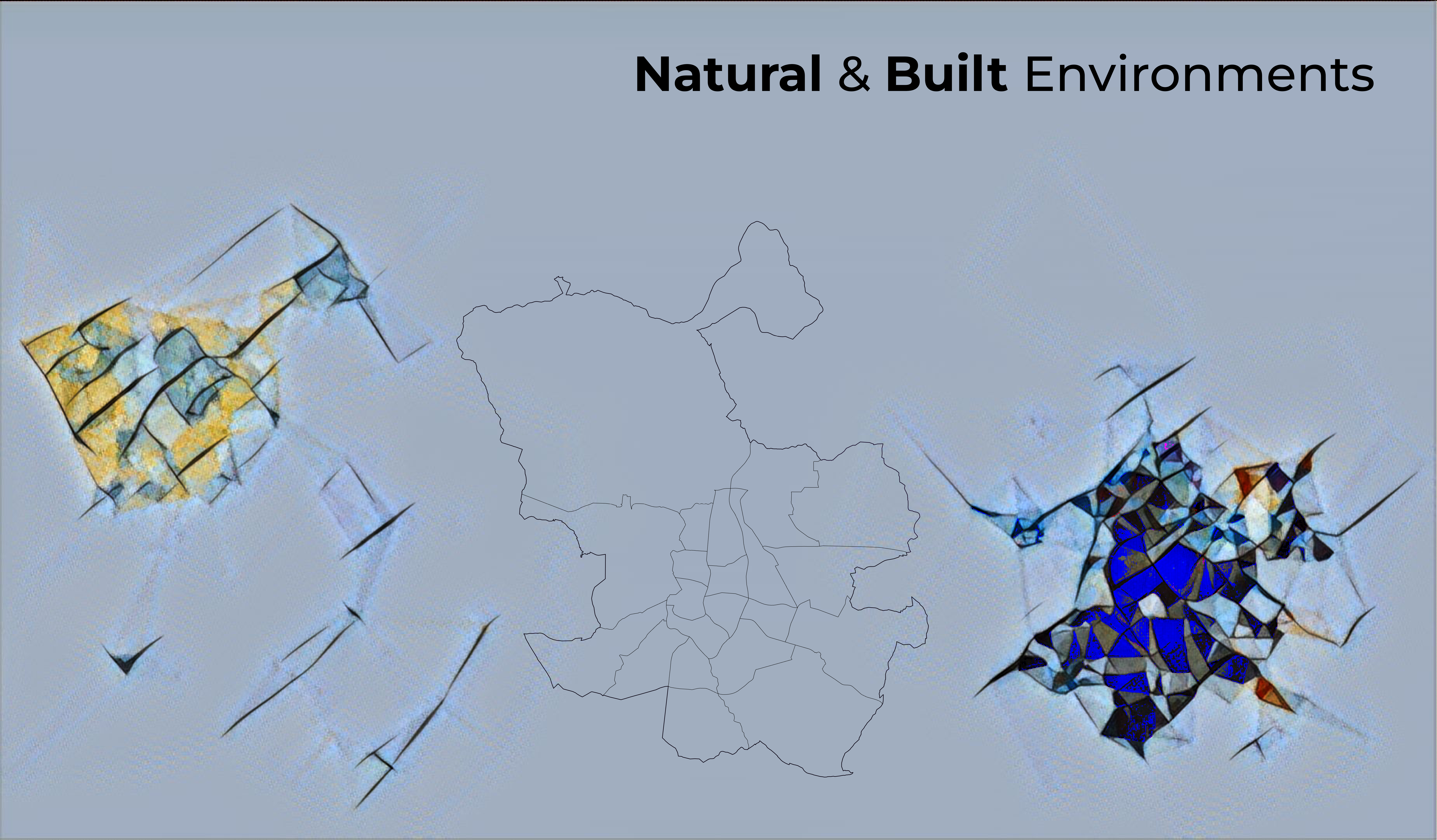
Natural & Built Environments

Cities are ever-evolving and growing, meaning natural environments are eradicated or transformed from native biodiversity to a collection of artificial materials. This has a significant impact on all organisms, including human beings. However, both natural and built environments are fundamental for quality of life. Nevertheless, the need for balance between both in urban spaces is … Read more

City of Proximities: Public Markets in Madrid

Madrid Public Markets SystemThe toolkit for municipalities, food delivery platforms and local residents 1/ Overall PerspectiveA first overview of the city of Madrid, throughout its administrative districts, their socio-demographics variables, the location of 46 municipal markets and the proximity patterns between them. 2/ Markets Around the Clock To allow citizens to engage with the markets … Read more

Diagnosing land health

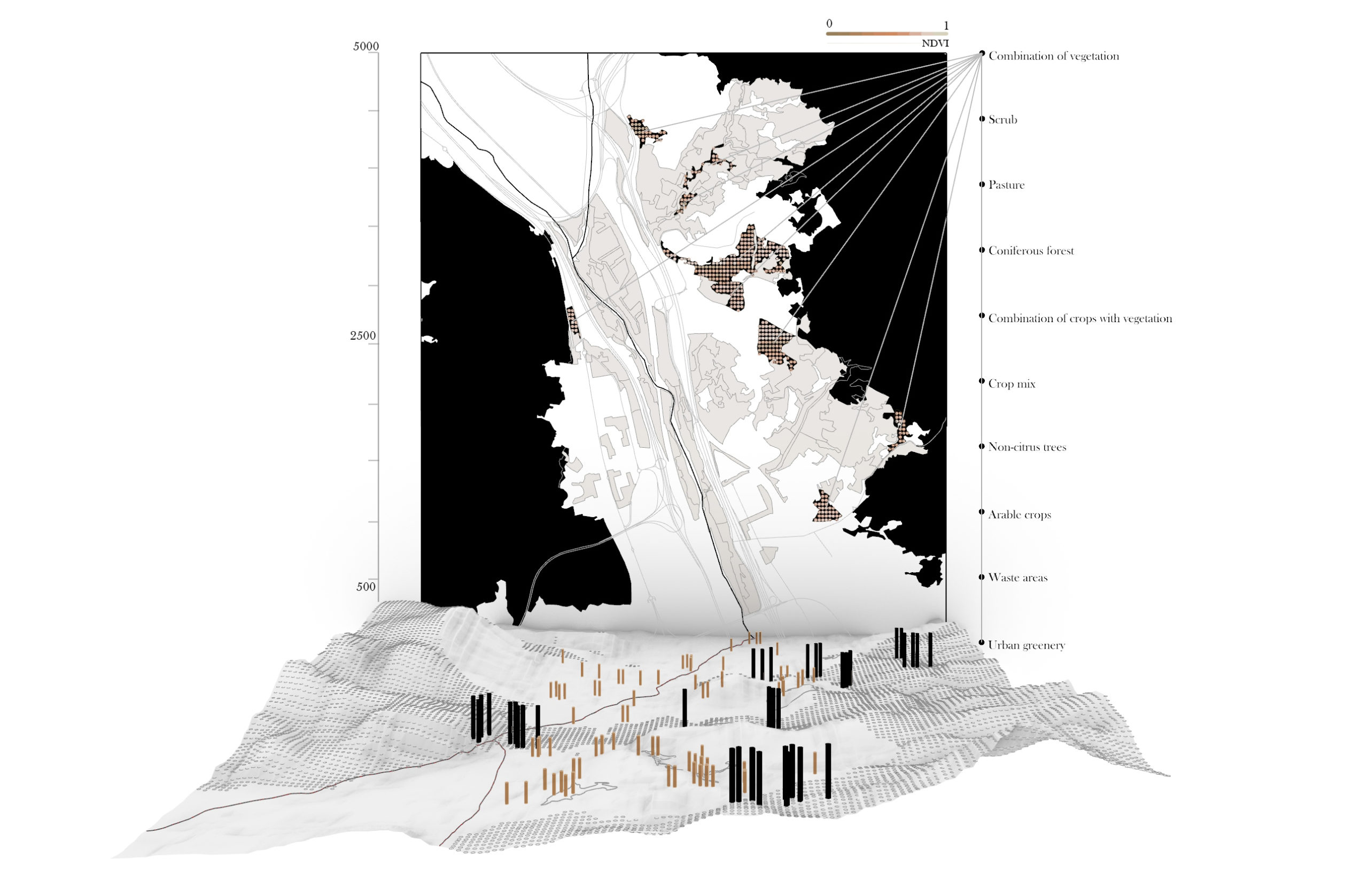
Introduction This project is a short visual story, trying to portray the opportunities and problematics of poor landscapes. It quickly touches upon a little fragment of precision farming- natural vegetation index (ndvi)- that focuses on plant health estimation remotely, from satellite. Ndvi has become the most commonly used vegetation index in remote sensing, especially with … Read more

Puerto Rico – population and landscape relation

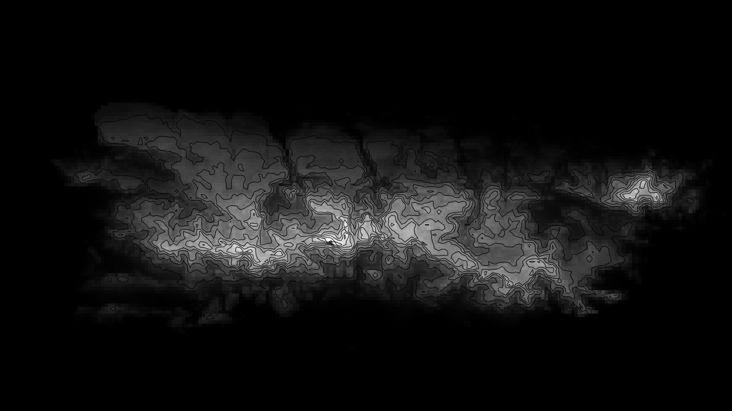
The idea of combining population density and terrain relief allows to represent connectivity of most relevant settlement areas for future urban and rural building development. The choice of Puerto Rico land was made because of relatively compact territory for this software as well as its pronounced mountain ranges. Today’s migration sprawl challenge is well-known and … Read more

Global scale data visualization

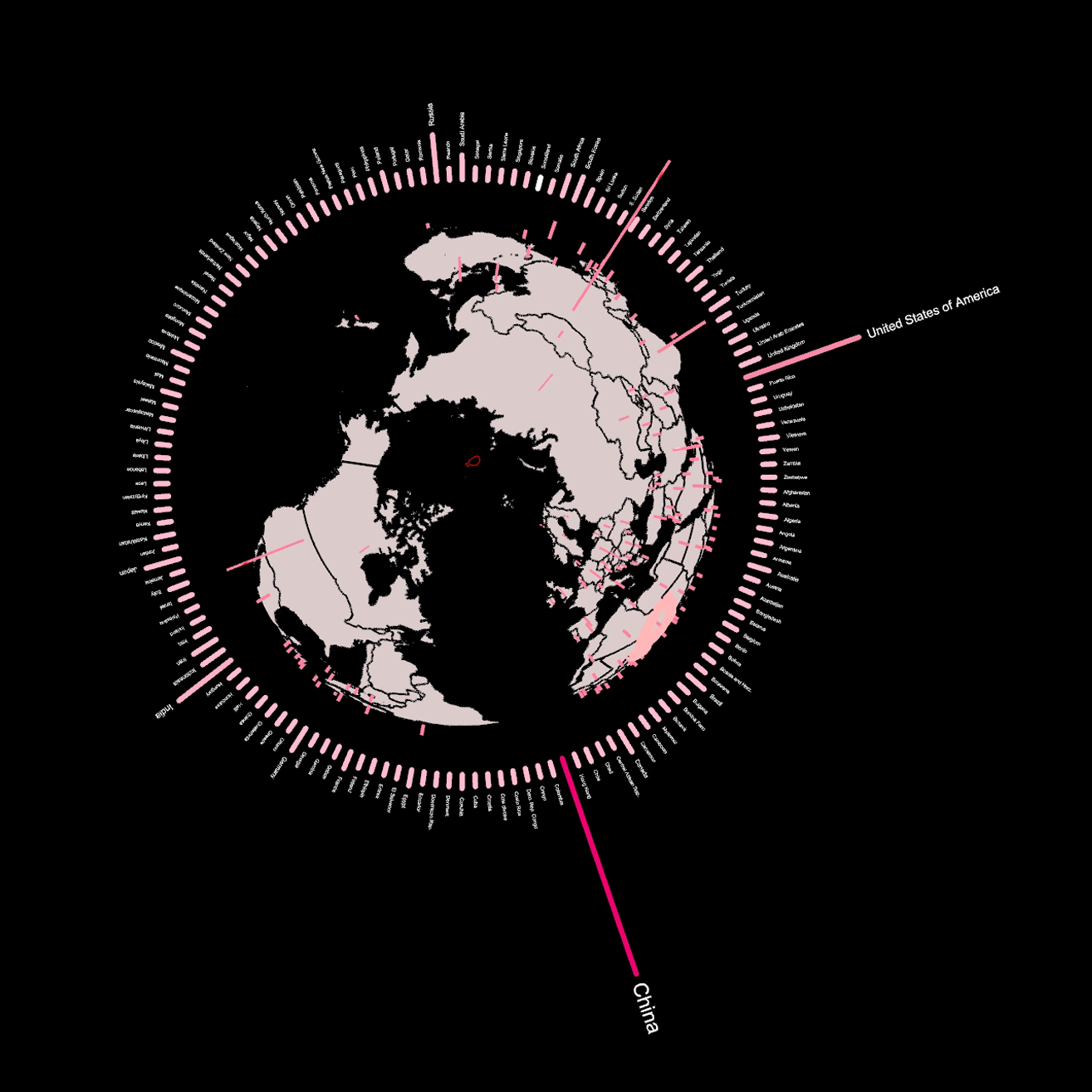
This project aims to explore the possibilities of mapping global scale data onto an 3D globe – in this case the CO2 emissions per country in Megatons. The project reveals the five biggest contributors to CO2 Emissions in 2019 – China, USA, Russia, Indian & Japan and also shows how little CO2 is emitted by … Read more

Curated Art Walk, BCN

Located in northeastern Spain, on the shores of the Mediterranean, Barcelona has long been hailed as a European cultural capital. From its thriving art scene to its incredible architecture and world-famous gastronomy, here’s why an art and culture lover will fall head over heels for Barcelona. The intent of the whole project is to identify … Read more

Plant species x Insect species

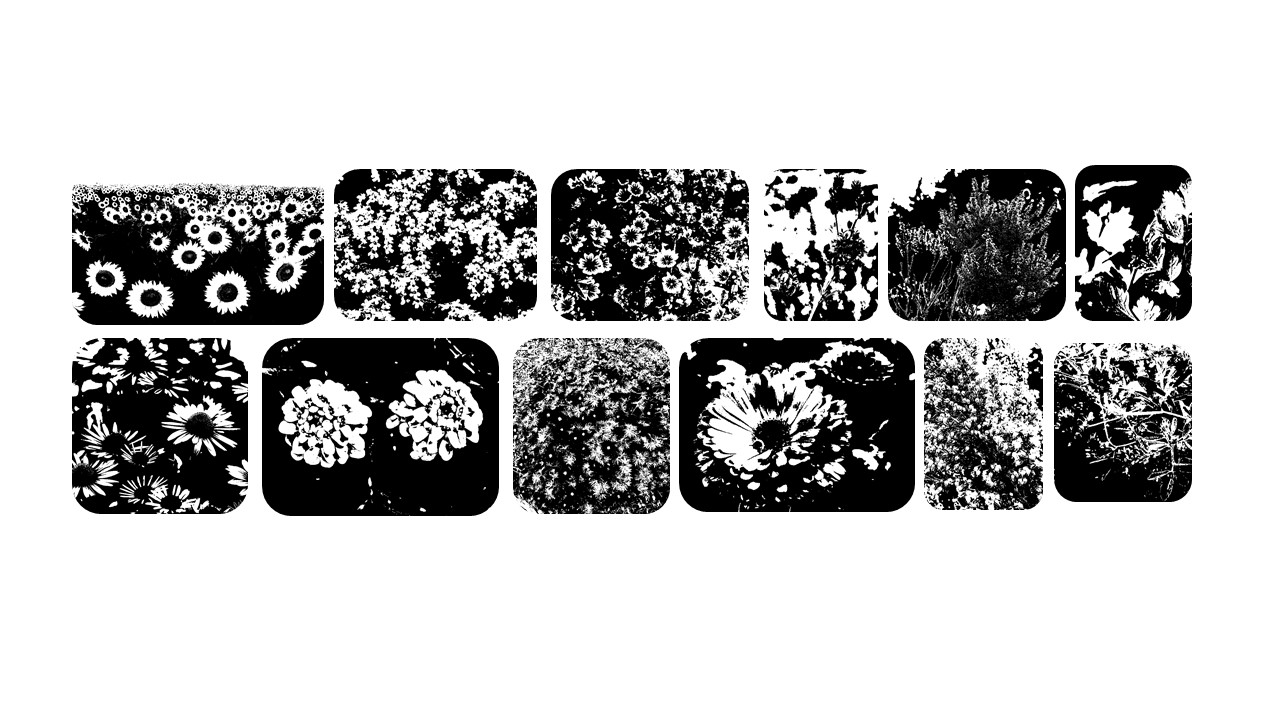
Pollination is a vital process that is carried out by a few species that help in transferring the pollen grains between the flower species, in turn enhancing the ecological aspect in the environment. We notice that there has been an alarming number of decline in the pollinator insect species and the plant species over the … Read more

Potential of CO2 mitigation by hempcrete

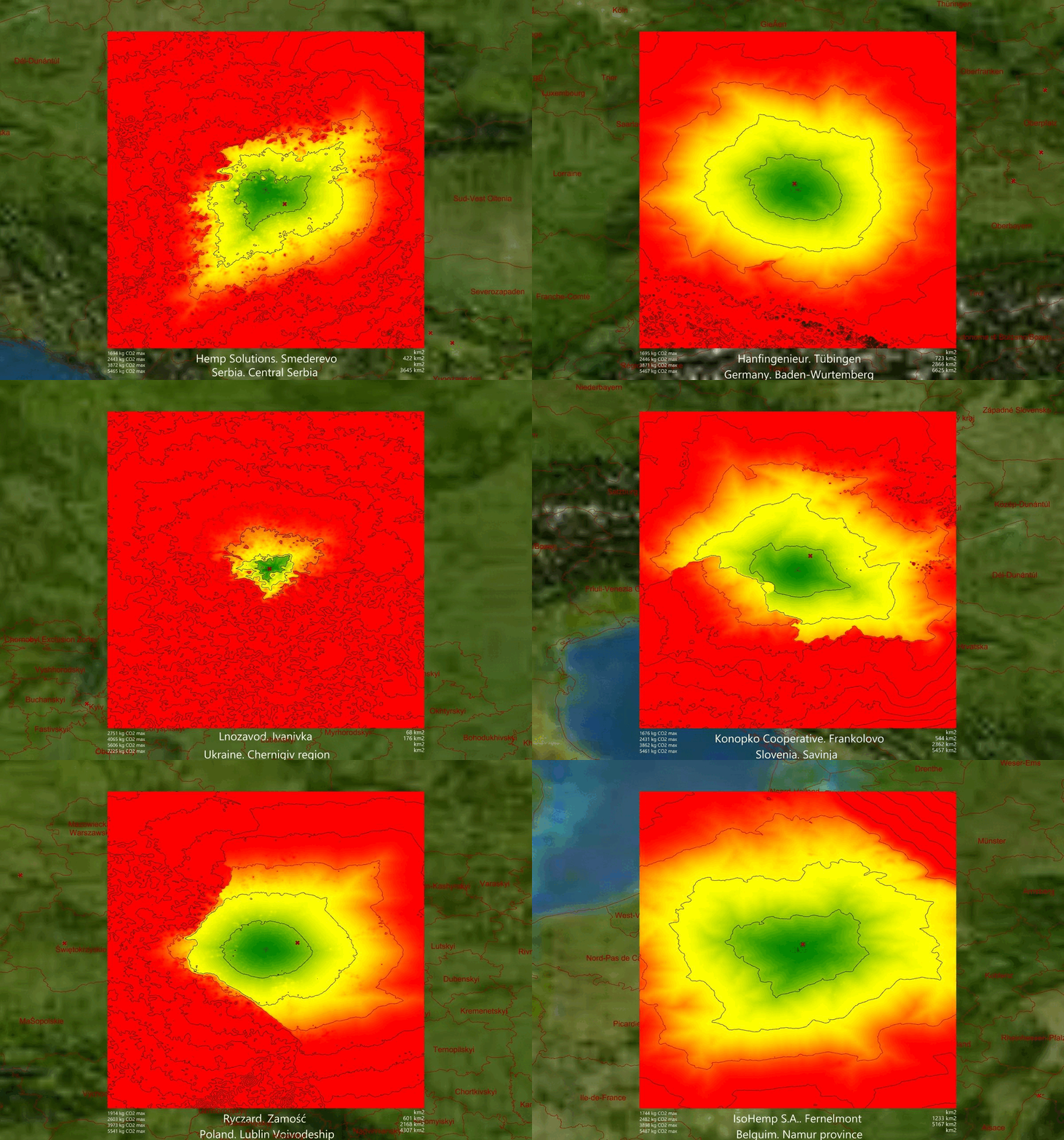
Hemp industry is one fast-growing, environment-friendliest, and perspective branch of the World economy. The hemp market is driven by the growing demand for industrial hemp from application industries, such as the food & beverage, personal care, and animal care industries, across the globe. This infographics of hemp production is made in Grasshopper using imported geojson … Read more

“Water Bodies towards crisis management”

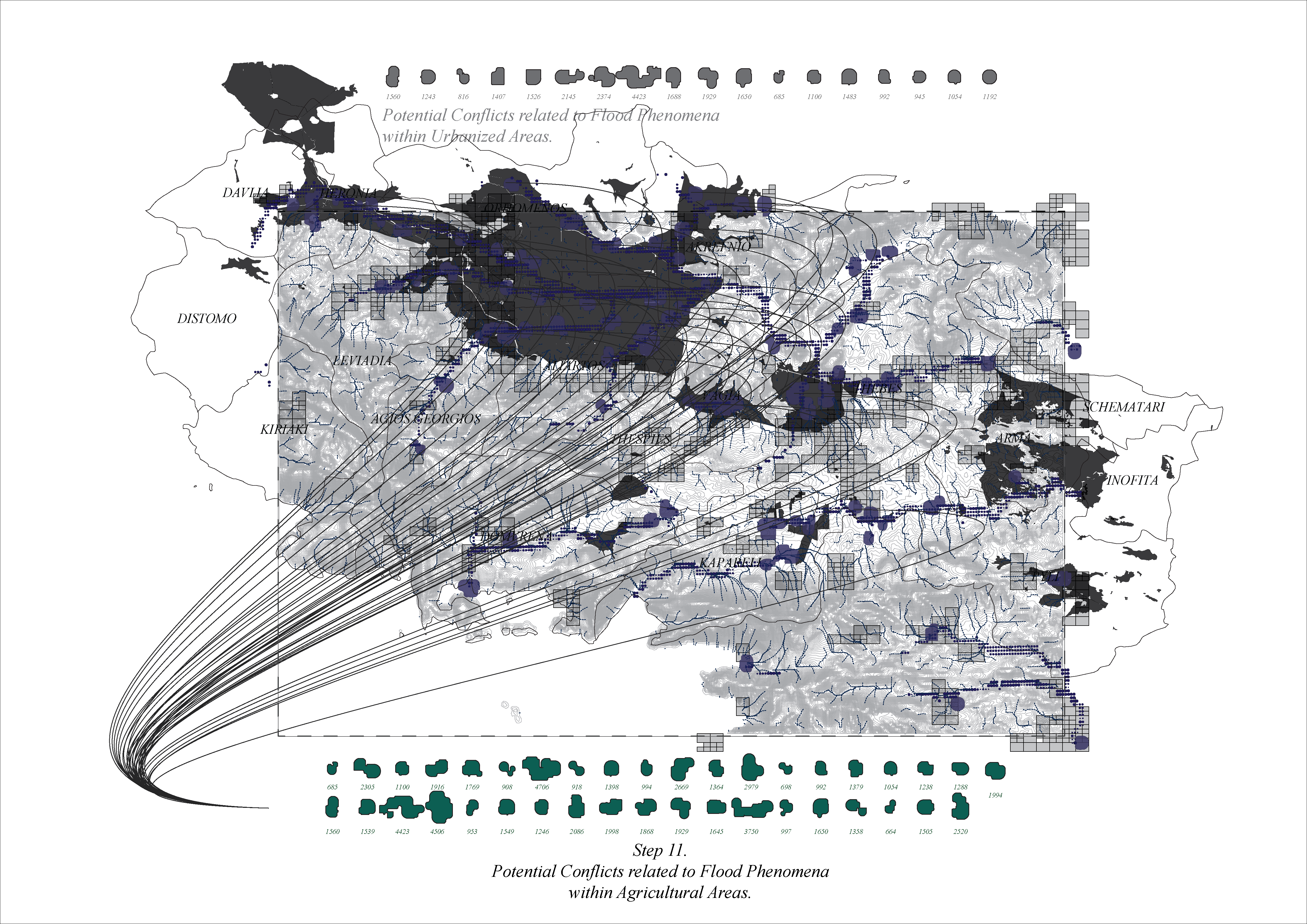
Potential Conflicts related to flooding phenomena in highly urbanized and agricultural areas.

Almost every day, we are confronted with dramatic images of communities and environments incrisis . Flash floods have recently become one of Greece’s most common natural occurrencesafter wildfires. Flooding occurs due to rapid rainfall and heavy storms, from rising river levelsor melting snow.Deforestation, poor soil quality and rapid urbanization significantly contribute to the genesis of … Read more