IAAC’s Master in City & Technology (1 or 2-year program) is a unique program oriented towards redefining the analysis, planning, and design of twenty-first-century cities and beyond. The program offers expertise in the design of digitally enhanced, ecological and human-centered urban environments by intersecting the disciplines of urbanism and data science. Taking place in Barcelona, the capital of urbanism, the Master in City & Technology is training the professionals that city administrations, governments, industries, and communities need, to transform the urban environment in the era of big data.
Protected: What is Advanced Air Mobility? [VOL. I]
There is no excerpt because this is a protected post.
Tourism and social development, Balearic Island
INTRODUCTION The heavy working hours after the industrial revolution had put leisure to a more and more important role in contemporary life. People want to travel to ‘escape’ and compensate themselves from work and daily life. The practice of leveraging tourism for economy growth has been proved useful in Spain since the 1960s. And this … Read more
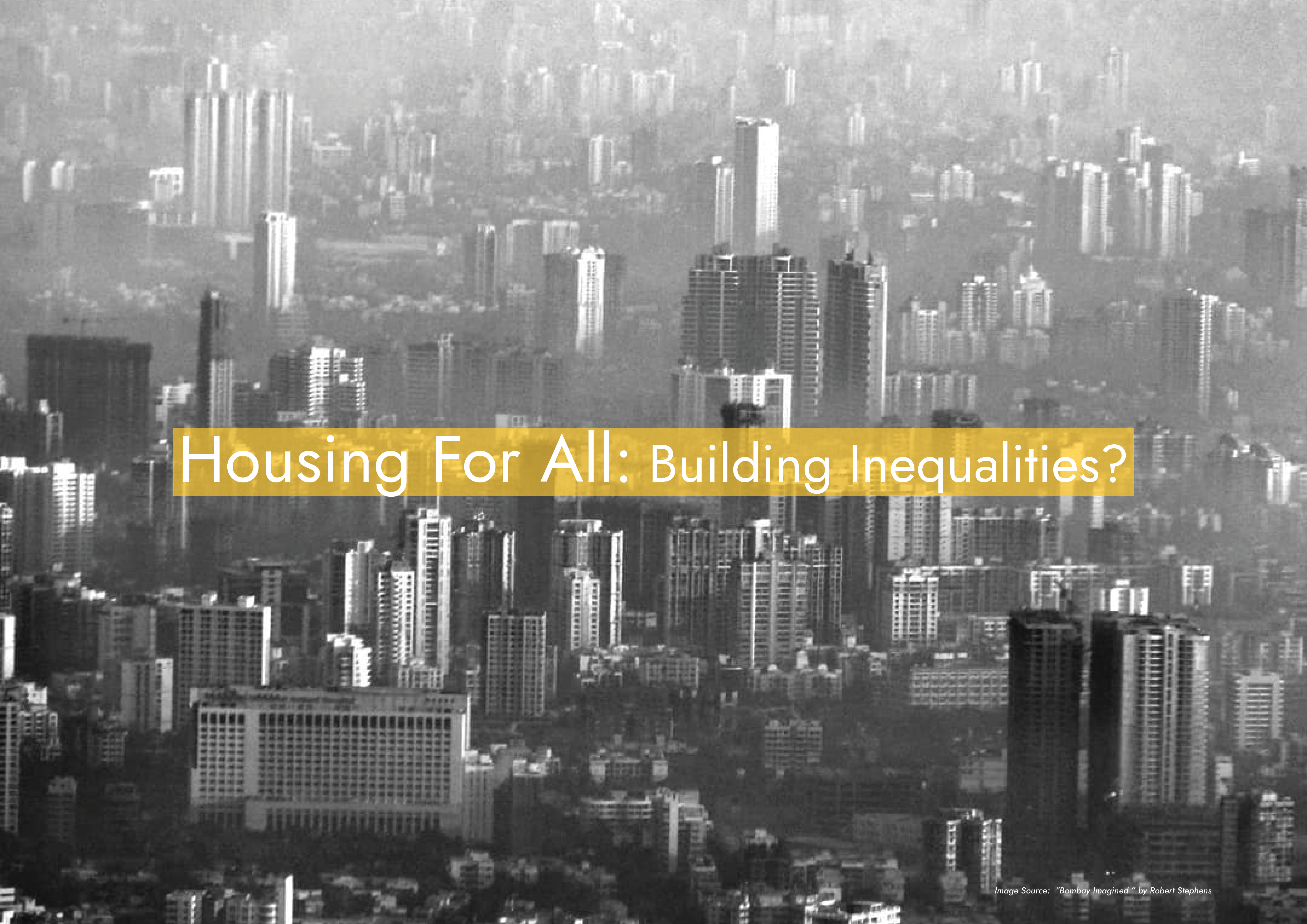
Protected: Housing For All – Building Inequalities?
There is no excerpt because this is a protected post.
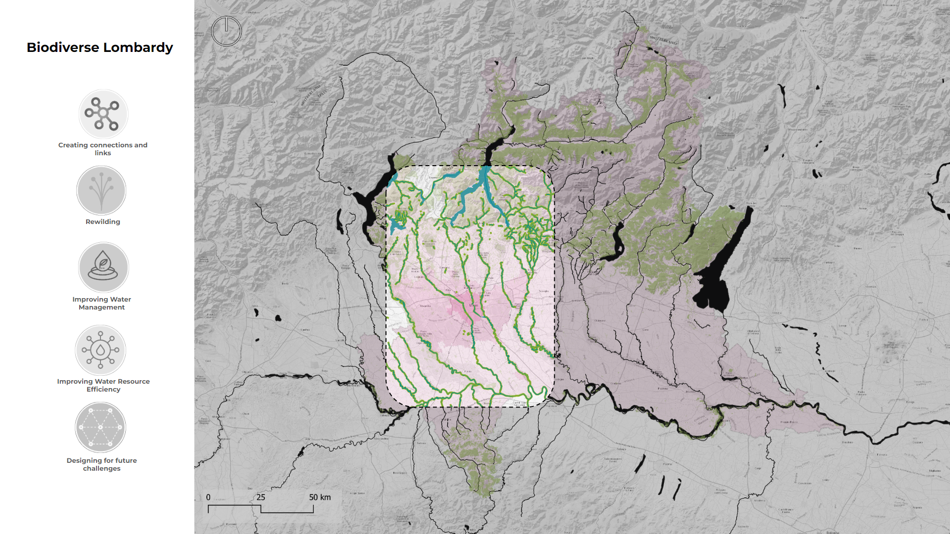
The Arteries of Lombardy
Introduction In the past centuries, Milan used to be perceived as a water-city, with an economy propelled by canals that extended throughout it. However, as the city evolved, those waterways were gradually buried beneath roads, and the aquatic arteries that once defined Milan are now relegated to the periphery of the urban fabric. This covering … Read more
Coltura
Introduction Milan, Northern Italy’s epicenter, confronts economic and environmental challenges rooted in a shift from agriculture to manufacturing. To secure its future, Milan invests in knowledge, tourism, and place-based innovation, relying on revenue from high-income foreigners, students, and the European Union. Strategic efforts to transition to a green economy focus on renewable energy, waste reduction, … Read more
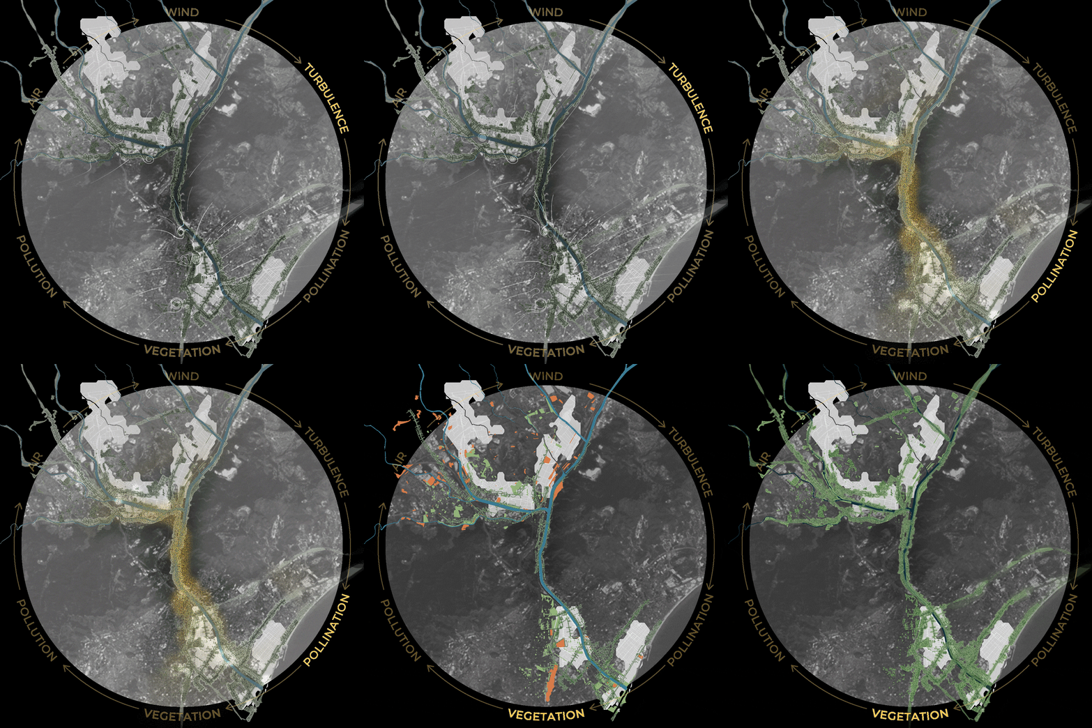
From Pollution To Pollination
1. Introduction Urban air quality is a pressing concern, being the result of both natural elements and human-induced pollutants. The city of Barcelona grapples with local pollutants like NOx and PM10, primarily caused by ground transport and industrial activities. While current policies focus on mobility solutions, the project questions the need for complementary approaches. The … Read more
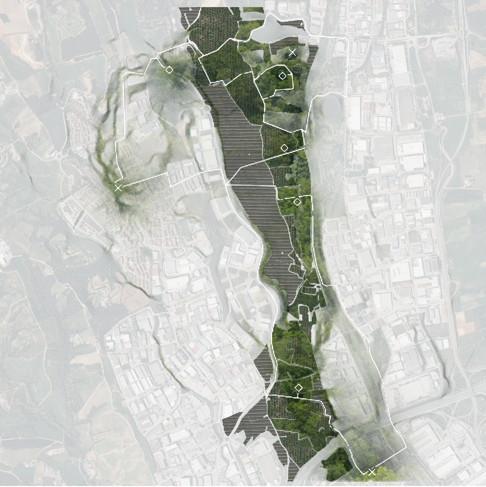
Towards a multi-performative soil
Introduction The contemporary postcard city of Barcelona is supported by a world wide web of hidden urbanization. One of the closest and most prominent hidden pieces of urbanization of Barcelona is found in the Besós Valley. When going on site, we encountered a fragmented urban landscape of logistical infrastructure, urban wasteland, scattered agriculture and haphazard … Read more
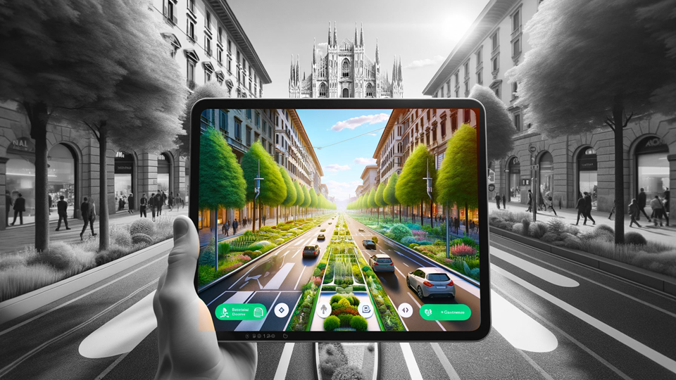
GreenScape – Milan
Introduction Known for its fashion, history, and culture, Milan also faces a pressing environmental issue: it stands as one of the most polluted cities in the World. The challenge of mitigating air pollution in Milan is complex, as it is shaped by a mix of geographical, meteorological, socio-economic, and cultural factors. From the city’s dense … Read more
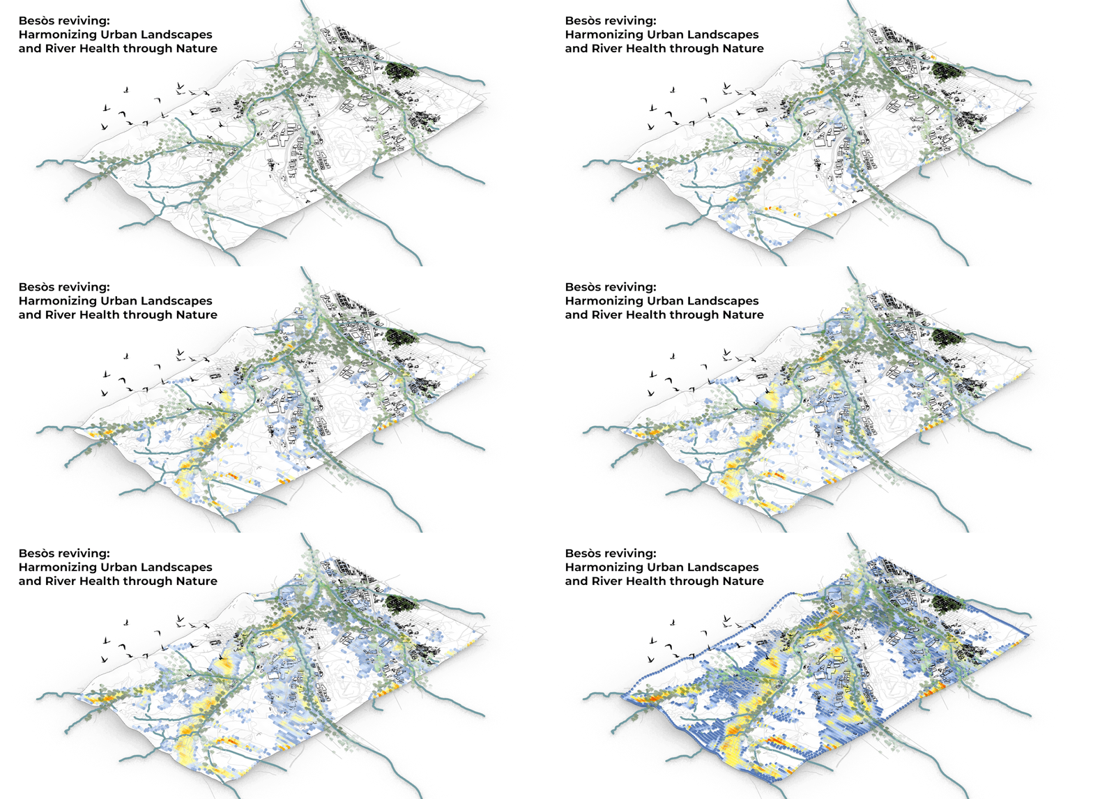
Besòs reviving: Harmonizing Urban Landscapes and River Health through Nature
The Besòs River, an integral water source for Barcelona, encapsulates a narrative marked by both significance and environmental challenges. Since the 1970s, its crucial role has been overshadowed by persistent contamination, exacerbated by the rapid urban and industrial developments along its course. This study delves into the intricate correlation between Besòs River pollution, evolving land … Read more
Green planning models
The challenges posed by climate change and increasing urban population density have become integral concerns in urban planning, particularly in meeting the growing demand for green space. Balancing the demands of the concrete jungle with the imperative for green spaces is now a pressing issue for urban planners. Within the array of potential solutions, the … Read more
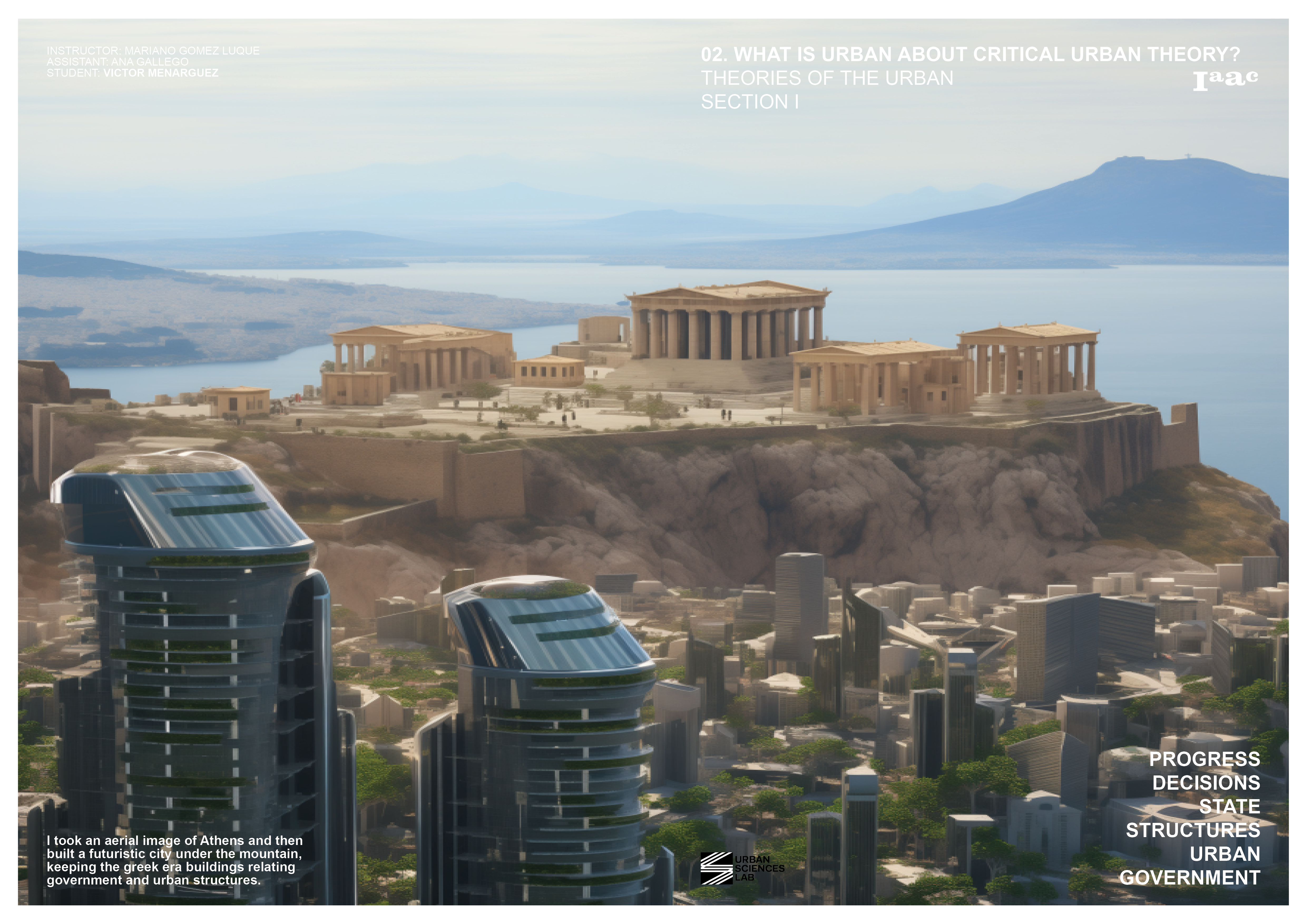
From Ancients to Futurescapes
Introduction Commencing with an aerial perspective of Athens, this imagery captures the coexistence of ancient Greek architecture and a futuristic city beneath a mountainous backdrop. This blog post delves into the amalgamation of historical continuity and futuristic aspirations, urging an exploration of the nuanced interplay between time, governance, and urban evolution. Within this composite visual … Read more
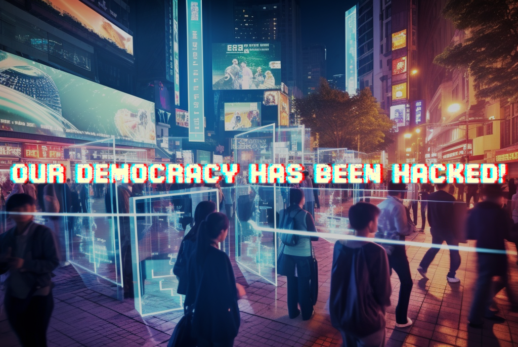
Our democracy has been hacked!
“The women argued it was not a bad thing to be able to know instantly by scanning who one is dealing with. Someone remembered a proposal that democracy might best be served by opening up the data banks to everyone rather than trying to do without them or, even worse, pretending they did not exist. … Read more

