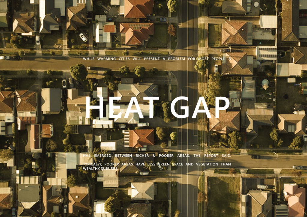
This project explores the relationship between urban heat and mental health in a city using clustering analysis. Four distinct clusters were identified, revealing patterns related to population percentages with mental health problems, urban heat levels, and proximity to industrial areas. Additionally, the study examines the association between urban heat, housing stress, and access to natural spaces. The findings offer insights for potential interventions to address these issues in urban environments.

Experiences of mental ill-health are widespread, with almost one in five Australian adults experiencing mental illness every year, and 45 per cent at some time in their life. The most common mental illnesses include anxiety, depression, and substance abuse disorders. Furthermore to analyse the Urban Heat Island (UHI), Normalised Difference Vegetation Index (NDVI) and the Green open spaces along with population density were visualized to understand each and every neighbourhood in detail.

- Mental health Map:
Experiences of mental ill-health are widespread, with almost one in five Australian adults experiencing mental illness every year, and 45 per cent at some time in their life. - Population Density vs Mental Health
Neighbourhoods with higher population densities are commonly associated with a greater number of people experiencing mental health issues. However, it is noteworthy that even neighbourhoods with lower densities show a significant percentage of individuals facing mental health challenges. - UHI and Industrial Zones
It is evident that the city center, characterized by maximum population density, exhibits lower Urban Heat Island (UHI) values. In contrast, the outskirts, particularly near industrial zones, show higher UHI values. - NDVI and green space proximity map
It indicates that neighbourhoods with limited accessibility to open green spaces exhibit higher NDVI values, while neighbourhoods with better accessibility to open green spaces show lower NDVI values. This suggests that proximity to open green spaces alone does not guarantee higher vegetation health. It highlights the importance of considering factors beyond accessibility, such as maintenance, quality, and management of green spaces, in order to promote healthier and greener neighbourhoods.
In this study, our aim was to explore patterns in the city concerning urban heat and mental health, despite the absence of a mathematical correlation between these factors. Utilizing the elbow method, we determined that the optimal number of clusters for our dataset was four.

Cluster 1 comprises neighborhoods characterized by a high population percentage of individuals with mental health problems. Although these neighborhoods exhibit moderate urban heat values, they are situated in close proximity to industrial districts. Additionally, the average distance to open natural spaces and water bodies is notably high in this cluster.
Moving on to Cluster 2, we observed neighborhoods with the highest urban heat island effect and land surface temperature. However, these areas show an extremely low percentage of population with reported mental health problems.
Cluster 3 represents neighborhoods with relatively low urban heat island effect and land surface temperature values. Similarly, the percentage of population reporting mental health problems is also comparatively low in this cluster.
Finally, Cluster 4, along with Cluster 1, appears to be the most problematic in terms of both urban heat and mental health. Notably, these areas are in close proximity to industrial zones.

An interesting finding when comparing the clusters is that the first and fourth clusters, which exhibit the highest urban heat values, also encompass a larger number of neighbourhoods with higher levels of housing stress. This indicates that 10-15% of the population in these areas struggle to afford rent due to low income.
Furthermore, through preliminary betweenness analysis, we have identified key segments of the street network that possess significant centrality in accessing natural spaces and water bodies within the neighbourhoods. These streets hold potential for targeted interventions aimed at improving access to such areas.


