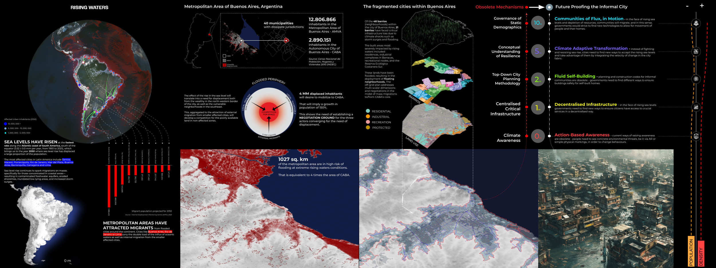
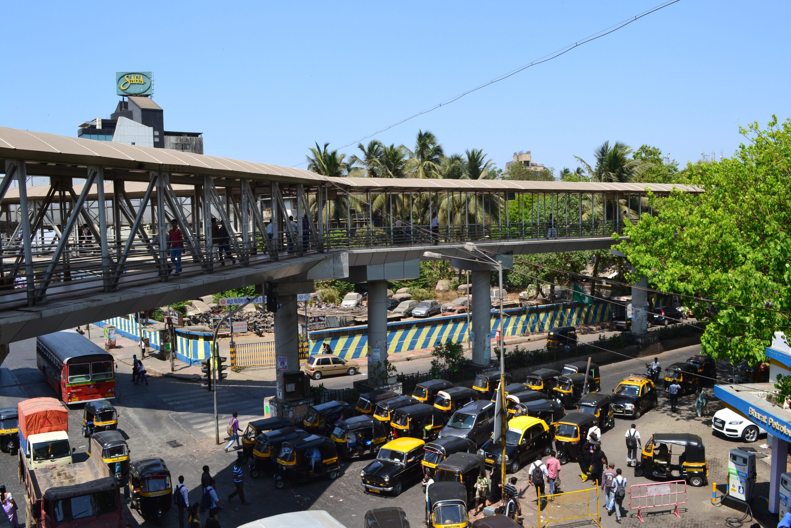
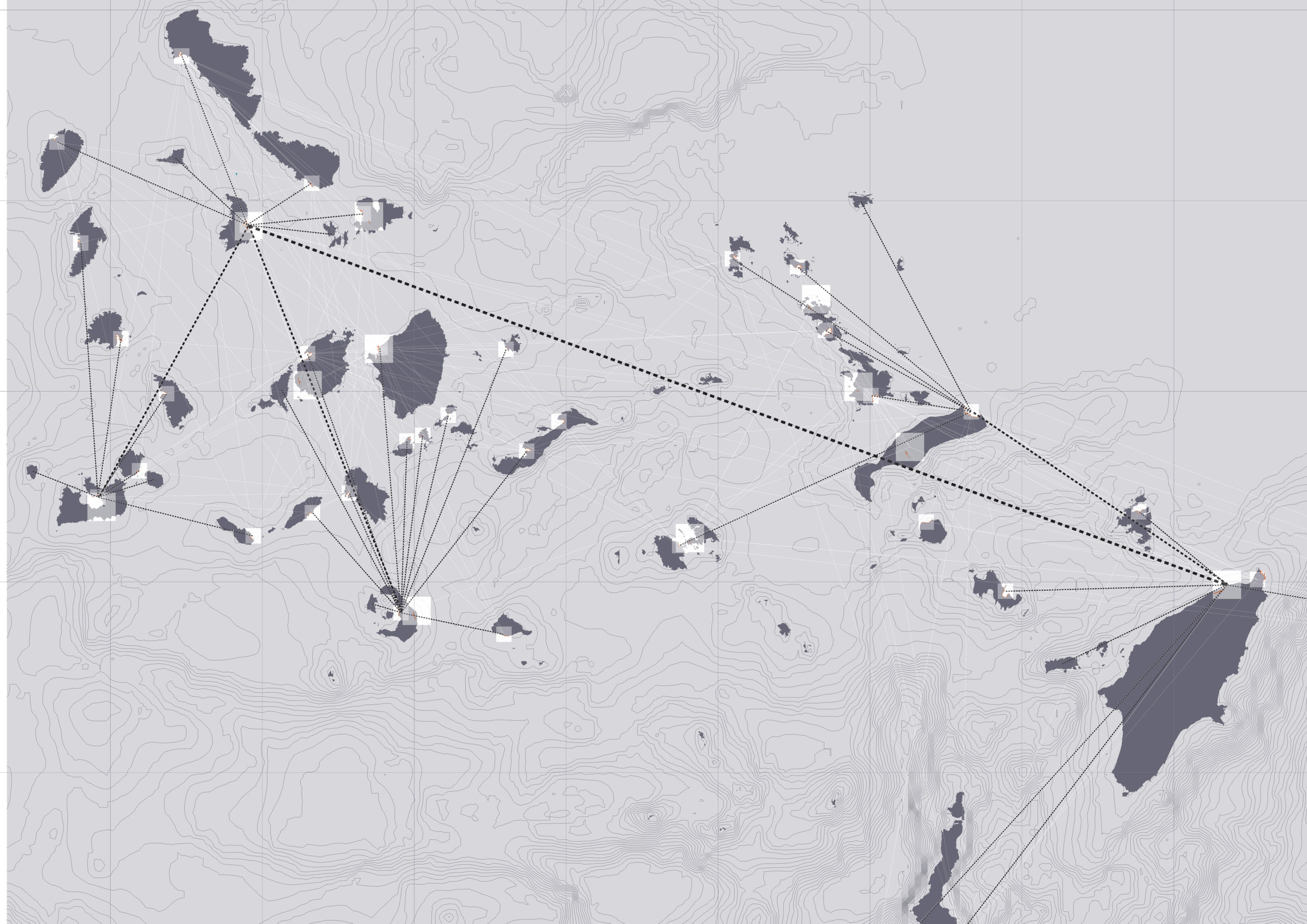
Quito | in Transition
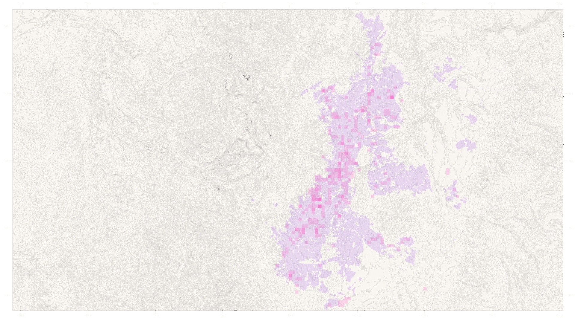
Quito is located in the north-central part of the Andean region of Ecuador, in south america. Given its high elevation, it is one of the highest capitals in the world. With a population of 1.9M people, it is the second-largest city of Ecuador. It is located in the province of Pichincha in the canton of … Read more