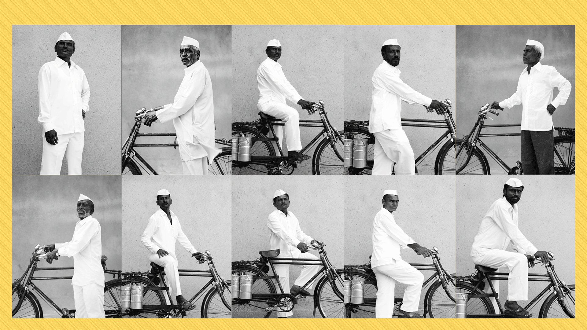
IAAC’s Master in City & Technology (1 or 2-year program) is a unique program oriented towards redefining the analysis, planning, and design of twenty-first-century cities and beyond. The program offers expertise in the design of digitally enhanced, ecological and human-centered urban environments by intersecting the disciplines of urbanism and data science. Taking place in Barcelona, the capital of urbanism, the Master in City & Technology is training the professionals that city administrations, governments, industries, and communities need, to transform the urban environment in the era of big data.


Filters
Course

The Green Ally

In Spain, there is an urban myth, according to which – The country was once so thickly forested that a squirrel could cross the peninsula hopping from tree to tree. -However, this condition has changed throughout the years, both in terms of the natural environment and the existence of squirrels in Spain. The case study … Read more

City of Proximities: Public Markets in Madrid

Madrid Public Markets SystemThe toolkit for municipalities, food delivery platforms and local residents 1/ Overall PerspectiveA first overview of the city of Madrid, throughout its administrative districts, their socio-demographics variables, the location of 46 municipal markets and the proximity patterns between them. 2/ Markets Around the Clock To allow citizens to engage with the markets … Read more

The Wild Deal

ABSTRACT Urban Rights is a term which has been coined by the philosopher Henri Lefebvre (Lefebvre, 1967)  and further explored by David Harvey (Harvey, 2003). It is a concept of a collective right to change the city and shape the process of urbanization. Thus, the right to the city does not merely address what the … Read more

Safer City Streets: Urban Mobility in Barcelona

Introduction As of 2021, the city of Barcelona has around 3.8 million vehicles (from cars to buses, cars, vans, etc.) circulating on its streets. Despite the efforts of the city council to better balance the motor urban mobility with the pedestrian flow throughout an urbanism model that puts people at the center, street accidents continue … Read more

Diagnosing land health

Introduction This project is a short visual story, trying to portray the opportunities and problematics of poor landscapes. It quickly touches upon a little fragment of precision farming- natural vegetation index (ndvi)- that focuses on plant health estimation remotely, from satellite. Ndvi has become the most commonly used vegetation index in remote sensing, especially with … Read more

Puerto Rico – population and landscape relation

The idea of combining population density and terrain relief allows to represent connectivity of most relevant settlement areas for future urban and rural building development. The choice of Puerto Rico land was made because of relatively compact territory for this software as well as its pronounced mountain ranges. Today’s migration sprawl challenge is well-known and … Read more

A Parallel City for Pollinators

Introduction to Pollination The project attempts to study and research the possibilities of creating a green, three-dimensional corridor for pollinators in a specific area, the historical city center of Madrid, connecting Madrid’s most prominent green park “el Retiro” in the east to the “Casa de Campo” natural reserve in the west. In particular the proposal … Read more

Big Data Analytics in the Airline Industry

The case of Greece The air connections constitute critical components of the entire transportation industry in Greece. The geopolitical position of the country as well as its geographical features (mountainous landscape, islands and sea) make the air transport industry essential not only to the regional development and the growth of tourist activity, that comprises a … Read more

Curated Art Walk, BCN

Located in northeastern Spain, on the shores of the Mediterranean, Barcelona has long been hailed as a European cultural capital. From its thriving art scene to its incredible architecture and world-famous gastronomy, here’s why an art and culture lover will fall head over heels for Barcelona. The intent of the whole project is to identify … Read more

Potential of CO2 mitigation by hempcrete

Hemp industry is one fast-growing, environment-friendliest, and perspective branch of the World economy. The hemp market is driven by the growing demand for industrial hemp from application industries, such as the food & beverage, personal care, and animal care industries, across the globe. This infographics of hemp production is made in Grasshopper using imported geojson … Read more

Topography of Tears

Laser Cutting – Material Repositories Material repositories consist of a timeline to estimate the demolition of building blocks, as an identification method for materials extraction based on the circular economy’s principles from 2022 to 2072. Choosing a study area La Dreta de L’Eixample neighborhood, we identify the buildings which can be used as material extraction … Read more

Urban Data Visualisation – Barcelona and Brazil

The aim of this studio was to explore the design opportunities arising from three common digital fabrication processes: Laser Cutting, CNC milling and 3D Printing. These exercises were supported by an interactive exploration of each technology and material, while also understanding conceptual and prototyping process of design. 1. Laser Cutting The first digital fabrication exercise … Read more

HANDS OVER BEIRUT and GREEN’IN CORRIDORS

HANDS OVER BEIRUT Beirut Blast impact assessment visualization Neighborhood: Mar Mikhael (Beirut port)/ Gemmayze – Bashoura – Ashrafieh The Area chosen has received the most impact and visualization of the plot of land where buildings got damaged but on a different scale is relevant to understand the shock wave repartition. To physically be able to … Read more