IAAC’s Master in City & Technology (1 or 2-year program) is a unique program oriented towards redefining the analysis, planning, and design of twenty-first-century cities and beyond. The program offers expertise in the design of digitally enhanced, ecological and human-centered urban environments by intersecting the disciplines of urbanism and data science. Taking place in Barcelona, the capital of urbanism, the Master in City & Technology is training the professionals that city administrations, governments, industries, and communities need, to transform the urban environment in the era of big data.


Filters

The City of Marvelous Disorder

The City of Marvelous Disorder is a study was conducted during the ‘CaaS studio (City as a Service): The future of cities’ services in the AI times’, that aims to built a methodology on mapping the creative sector and high education ecosystem of Barcelona, with a particular focus on social creative industry that works within … Read more

Digital CO2 ZERO

The rising problem of Digital Energy consumption Recent estimates put the contribution of the information and communications Technology, the (ICT) sector – which includes the data centers, devices and networks used for  at around 4 % of global Greenhouse gas emissions. A trend that is unlikely to stop, as the amount of data produced and … Read more

Active Ageing in Barcelona

The project focuses on promoting the physical, mental, and social well-being of older adults in the city of Barcelona through various initiatives, the goal is to empower older adults to remain active and engaged in their communities, and to promote healthy ageing and independence. Projected population aged 65+ What is Ageing? Health in the older … Read more

The Perks of Proximity

Clustering advanced industries to facilitate technology transfer in the Barcelona metropolitan region Spain has been at the forefront of pioneering research and innovation that have led to significant contributions to the world of technology. Technology Transfer Technology transfer from research to market seems like a straight-forward and linear process, but such is not the case. … Read more

NYC Taxi Time Traveler

The New York City Taxi Trip Duration competition is a challenge to develop a model that predicts the total ride time of taxi trips in New York City. Yellow medallion taxicabs, which number 12,779 in New York City, generate a substantial revenue of $1.8 billion per year by providing transportation services to around 240 million … Read more

Machine learning model to predict NYC cabs’ trip duration

Goal: to predict trip duration of NYC cabs using machine learning models. Tools: Python + Nympy + Pandas + Datetime + Plotly.express + Matplotlib + Math + Seaborn + Bokeh + Sklearn Stages of project: data cleaning, data analysis, data preparation, data testing, evaluating prediction accuracy. Data cleaning The first dataset visualization with splitting datasets … Read more

Data-Driven Rides

Machine Learning-based Analysis of NYC Cab Trip Duration “Data-Driven Rides” is an entry for the first MaCT Machine Learning Competition that hosted on Kaggle which involves predicting the duration of taxi rides in New York City. The dataset provided for this competition is based on the 2016 NYC Yellow Cab trip record dataset and the … Read more

NYC Taxi Trip Duration Predictive Modeling

The objective of this exercise is to build a machine learning model that will predict taxicab trip durations based on 2016 NYC Yellow Cab trip record data. Data Fields Based on this, this project will develop a machine learning regression algorithm capable of predicting the duration of a trip based on the variables provided by … Read more

Predicting NYC Cab Ride Duration using ML

The MaCT01 students were tasked with training a model that would be used to predict NYC yellow taxi ride durations using machine learning. The dataset included pickup and drop-off datetimes, location coordinates and passenger count. Visualizing the data helped to understand the correlation between the columns and remove the highly correlated values Understanding the distribution … Read more

NYC taxi trip duration prediction

The data used to prediction is the New York City taxi data from January, 2016 to June, 2016 and New York City weather data from the same time duration. The taxi data has features about pickup time detailed to seconds. Considering the traffic condition could be affected by weekday and hour, so I deconstructed the … Read more

2016 NYC Yellow Cab trip

The source dataset provided for this project is derived from the 2016 NYC Yellow Cab trip records, which were made publicly available on the Big Query platform of the Google Cloud. The data was originally collected and published by the New York City Taxi and Limousine Commission (TLC). This dataset serves as the foundation for … Read more

New York City Taxi Trip Duration

INTRODUCTION The competition is based on the 2016 NYC Yellow Cab trip record dataset. The challenge is to build a model that predicts trip duration for New York City taxis using machine learning. The dataset includes pickup time, geo-coordinates, number of passengers, and several other variables. Based on individual trip attributes, a code was written … Read more

1st Traditional IAAC MaCT ML Competition

#Objective #A Kaggle Competition to MaCT01 students to show their knowledge, designing an end-to-end machine learning project to predict the “Trip Duration” of NYC Taxi trips. #Workflow #First of all a workflow hast do be developed, which represents a classic approach for training machine learning models, analysing the provided training data provided by the submission, … Read more

NYC Cab Trip Duration Prediction

The aim of the project is to predict trip duration, using 2016 NYC YELLOW CAB TRIP DATA. Structuring the dataset The analysis begins with outlier identification. The passenger_count variable has two outliers: 0 and 9, which compared to the amount of people allowed by the NY Limousine law, is impossible. Also, there were some pickup … Read more

Gridscape.ai

INTRODUCTION Urban planning decisions have a significant impact on the development of cities, and using machine learning can provide decision-makers with valuable insights to make informed decisions. By clustering urban areas based on various factors such as population density, built density, POI density, green cover, and build diversity, we can reveal spatial patterns that can … Read more

BullerbyNet

The Core challenges of urban childhood As cities grow and develop, there is often a lack of safe and child-friendly spaces for children to play, walk or bike alone. The increase in traffic and air pollution makes it challenging and unsafe for children to travel on foot or by bicycle. Crime and social fear also … Read more

BEYlink

RE-frame and Connect Public spaces in a city, such as pathways and non-constructible parcels, are not utilized to their full potential. As a result, they create voids and detachment of citizens from their city and do not provide any meaningful benefits to the community. Using machine learning algorithms as a tool for public organizations to … Read more

ONE MUMBAI!

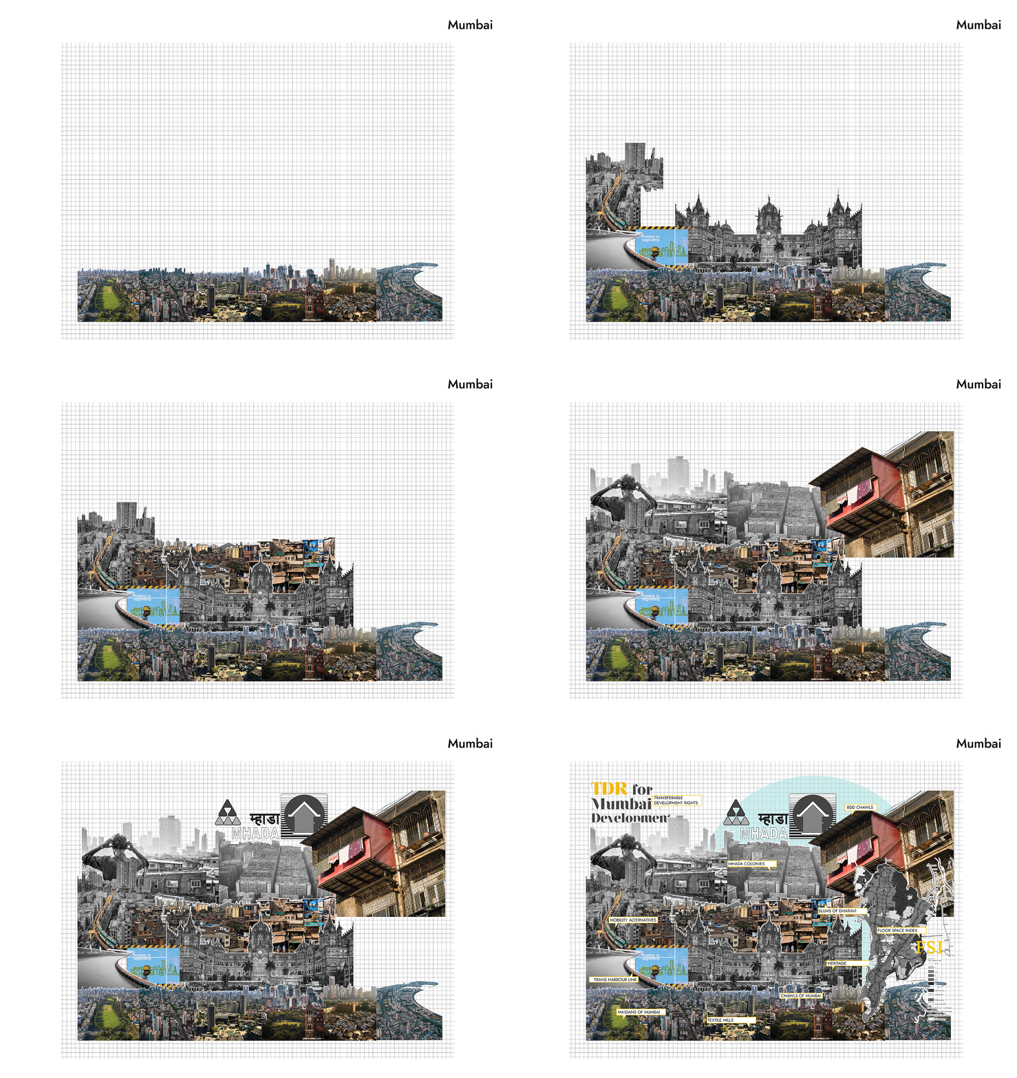
Climate change is increasing the frequency and severity of extreme weather events, and cities like Mumbai with a population of over 12 million people, is particularly vulnerable to the impacts of climate change. In fact, studies have shown that Mumbai is one of the cities most at risk from rising sea levels more intense floods, … Read more

Meteo sanctum

The project reflects on how people in ancient times defined natural and weather phenomena. The proposal is to create an open public space – Inspired by the concept of an ancient sanctuary with places that used to be built for worship and predictions of weather conditions, the Meteo Sanctum consists of digital indicators that allow … Read more

Barcelona Cloud

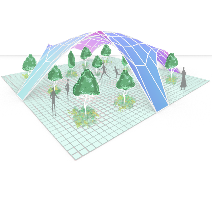
Mixed use pavilion with dominant cultural function. Cultural venue Barcelona Cloud.   Envisioned constraints: not less than 1/10 for public spaces on the North and South, permeable transit corridors the ground level for large groups of pedestrians, solar envelope by summer solstice and average height of neighborhood buildings restrict height and shape the shadowing canopy, trees … Read more

Bio-Digital Paths

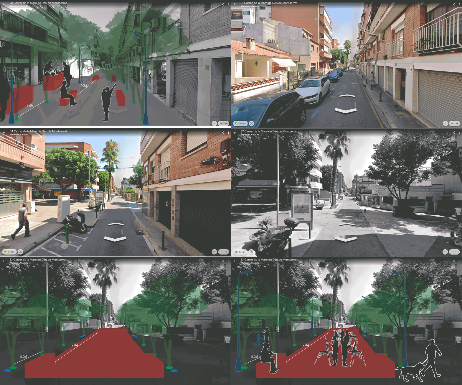
“Bio-Digital Path” is a computational model of modular public spaces generated from emerging public movements within the existing urban fabric of Barcelona.  Global challenges consist of both environmental threats, but also social challenges and this project suggests that planners and architects actually have the tools to construct the public space not as a separate but … Read more