
LeCorbunisms
A conversation in which Jane Jacobs and Rem Koolhaas try to get LeCorbusier to think differently about the city… or the opposite! The Challenge We used Conversable Agents and Retrieval-Augmented Generation (RAG) to simulate a discussion between three influential architects: Jane Jacobs, Rem Koolhaas, and Le Corbusier. These theorists have shaped our understanding of the … Read more
Balancing Tourists and Residents in Barcelona
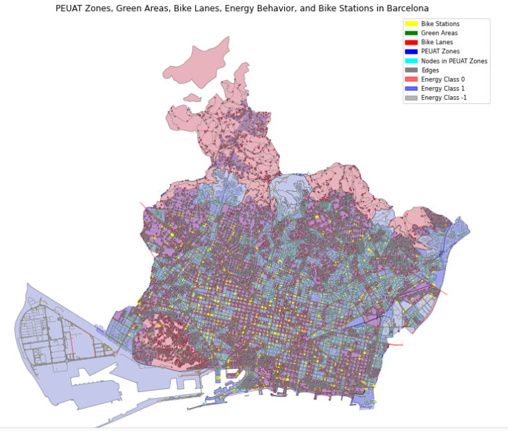
To predict whether a location in Barcelona is a key tourist site or not using graph data and specific contextual features, including the impact of the PEUAT plan on regulating tourist accommodations. The features explored and the URL selected on the Barcelona open data are score or indicator related to the tourism plan PEUAT, Proportion … Read more
Metro Station Prediction in Stockholm
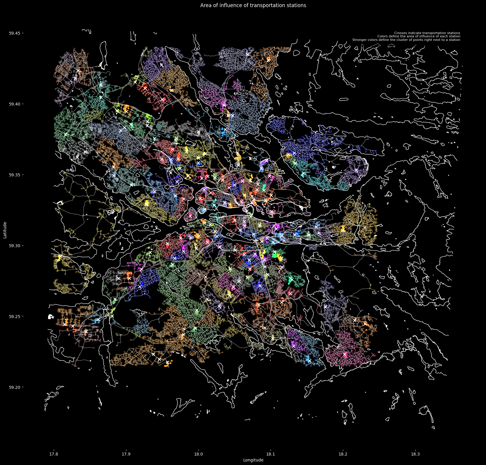
This post describes the development of a method to predict metro station locations using Graph Neural Networks (GNNs). Our journey began with a challenge familiar to urban planners: how to strategically place new metro stations to optimize transportation networks. In this case the city of Stockholm was used as testbed. The Challenge of Data Imbalance: … Read more
WHAT IS ADVANCED AIR MOBILITY?
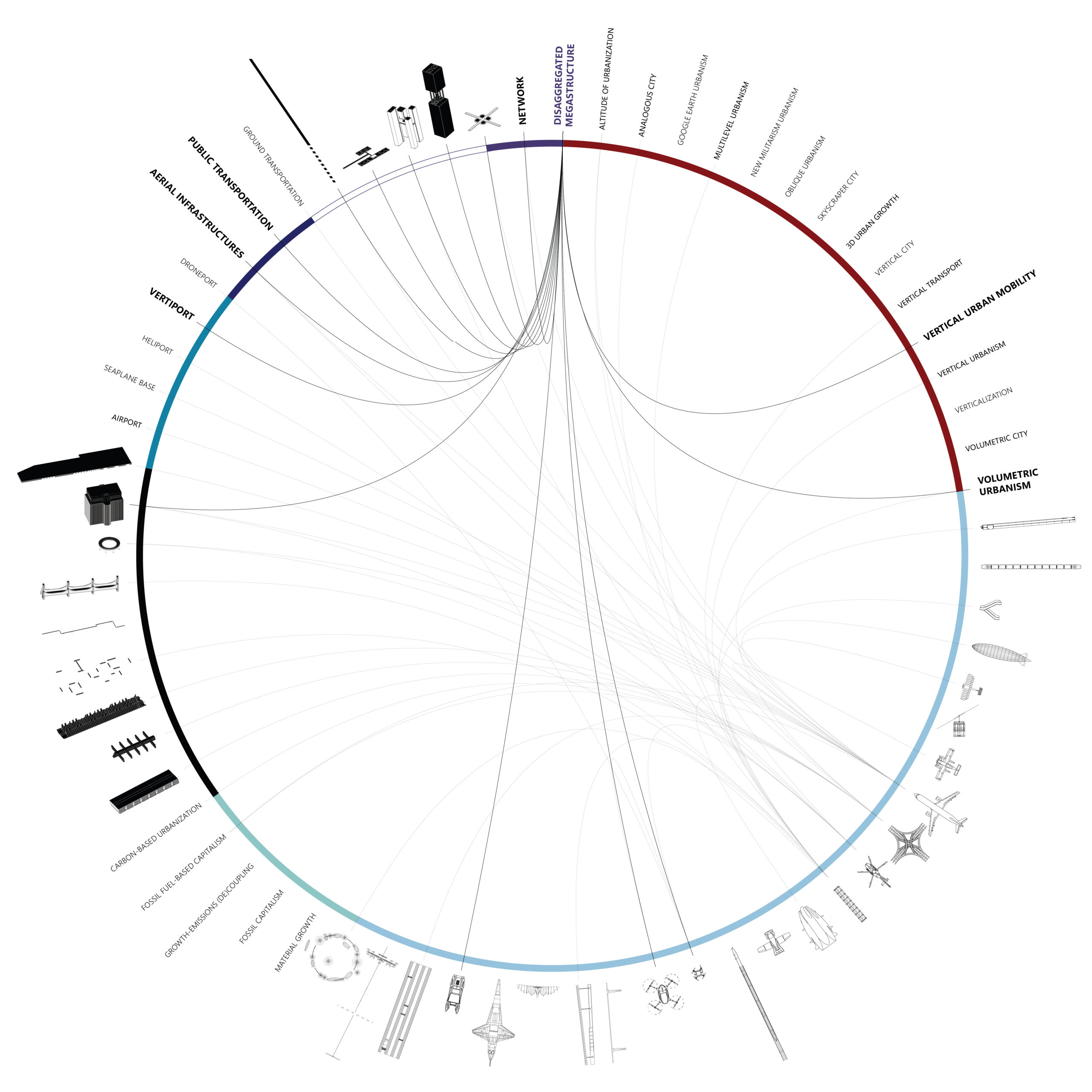
A multidimensional and multiscalar exploration of the emerging Vertical Urban Transportation landscape. [A] INTRODUCTION “Advanced Air Mobility (AAM) is a rapidly-emerging, new sector of the aerospace industry which aims to safely and efficiently integrate highly automated aircraft into the NAS. AAM is not a single technology, but rather a collection of new and emerging technologies … Read more
Re:New
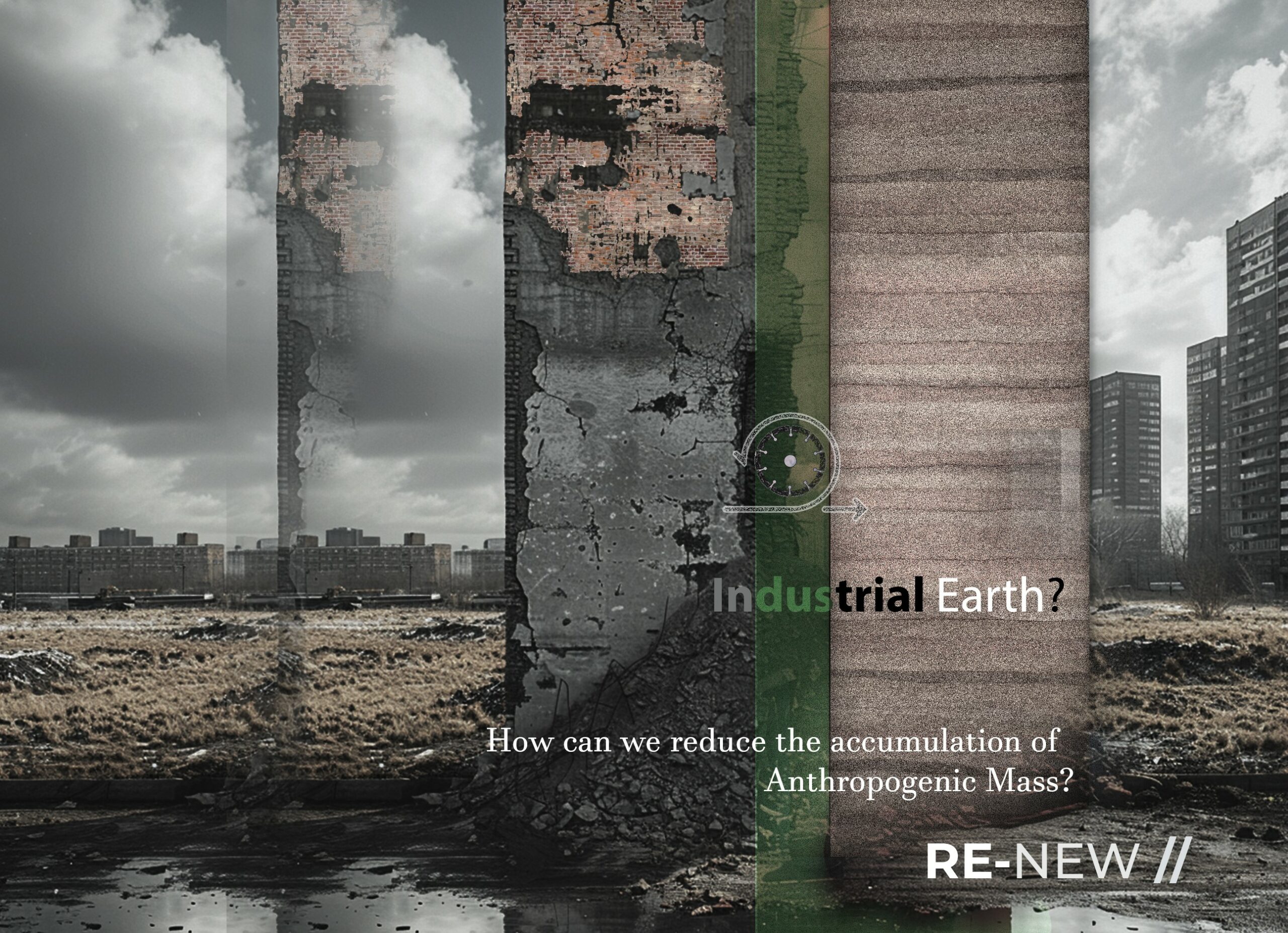
UP-CYCLING CDW THROUGH RAMMED EARTH TECHNIQUE The project promotes a circular economy for construction demolition waste (CDW), focusing on concrete and brick materials. It investigates the creation of a material system that integrates data-driven demolition mapping, innovative material reuse, robotic manufacturing and a meticulous approach to designing the life-cycle of the material. It uses the … Read more
100-Year Flood Risk Road Intersection Classification
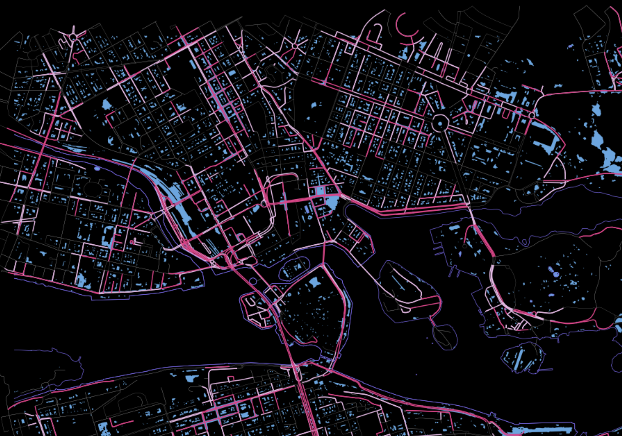
Beginnings Our project’s concept is to develop a classification model that identifies street intersections (graph nodes) in Stockholm, Sweden, susceptible to flooding during a 100-year flood event. Based on our initial research, we found that graph machine learning operates at three levels: the graph, its edges, and its nodes. With access to a 100-year flood … Read more
IS THE FUTURE REALLY AUTONOMOUS?

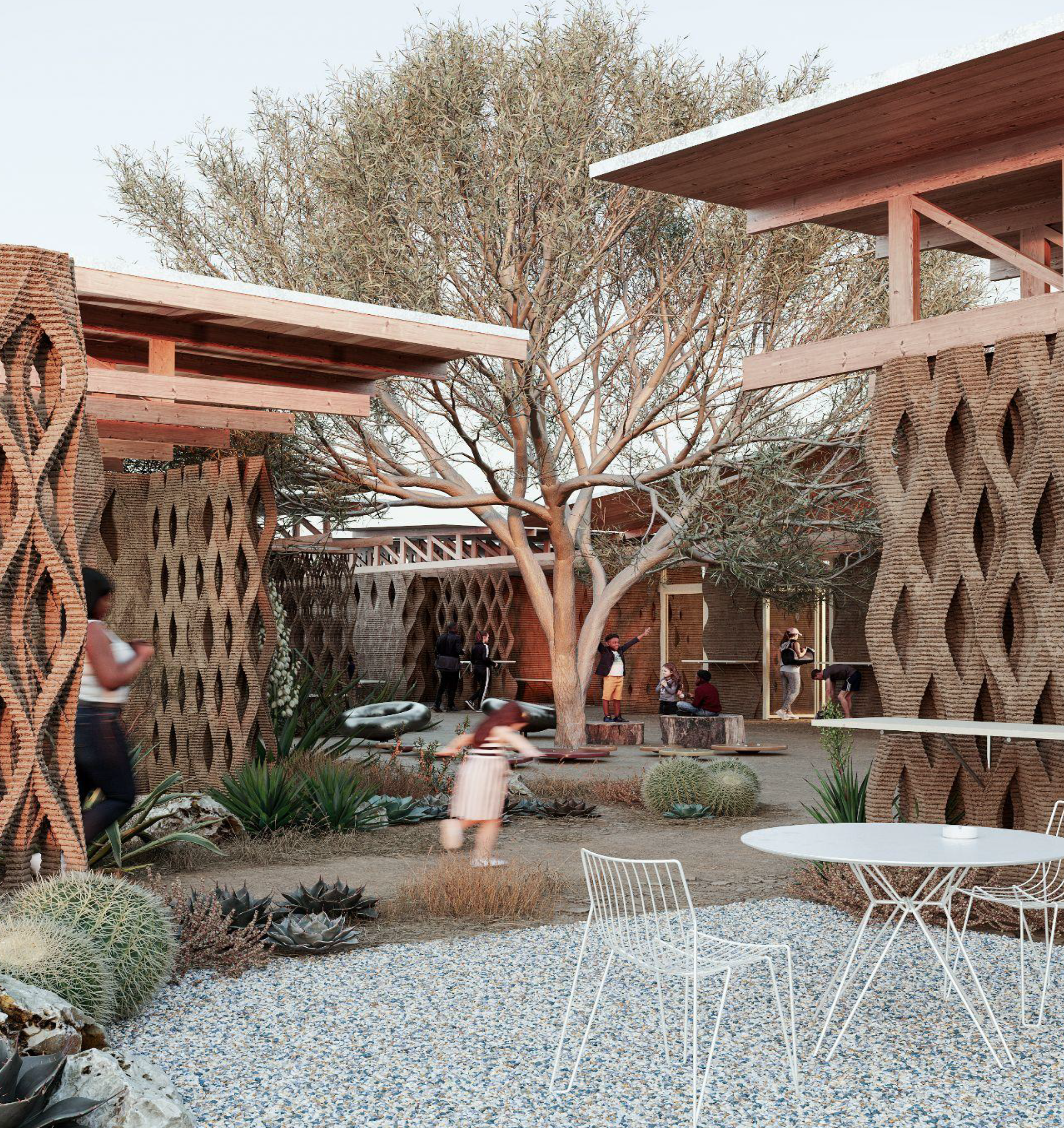
1. Introduction 1.1. Abstract Autonomous Vehicles are vehicles that employ driver assistance technologies to remove the need for a human operator within the vehicle. These new technologies into automation have been researched in contexts like the United States of America, Middle-Eastern Countries and some European Countries. Planners and architects are designing for these cities including … Read more
Ticket to Ride
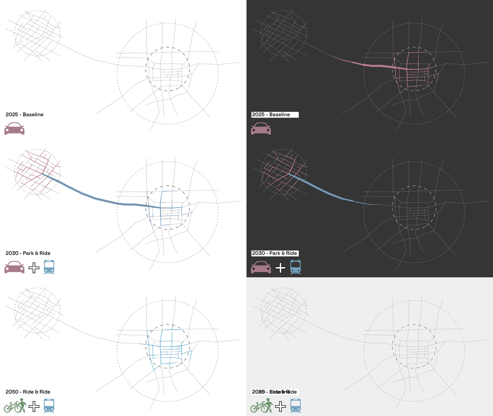
Mobility Hubs for Edge Cities to Reduce Car Demand Ticket to Ride gamifies public transportation to reduce car trip demand with a single ticket for all rides at the mobility hub: the new heart of the conceptual Edge City. Why the Edge City? The Edge City is a global suburban spatial condition constructed in the … Read more
Allegory of the Cybernetic City

Can speculative science fiction ground us in reality? In an age where technology and urbanization shape the contours of our reality, the role of theory as a form of critique becomes ever more crucial. The consequences of centuries of colonization, globalization, and exploitation are evident in our sprawling cities and degraded environments. The 2017 sci-fi … Read more
Initiating the Process for a Carless City
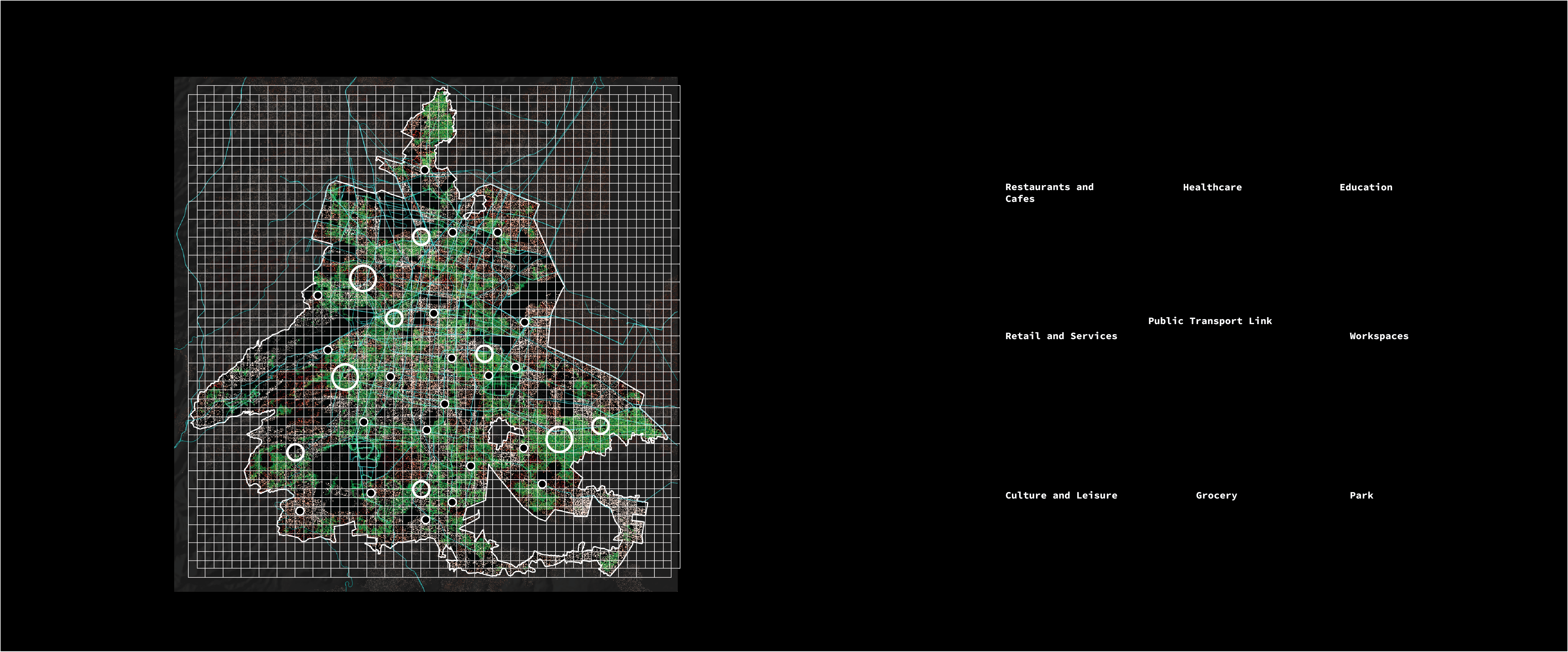
The idea of a ‘car-free’ city is not as easy as just banning cars but about reducing car reliance. The private car has undeniably revolutionized mobility in the 21st century. It has offered convenience, job creation and an increased freedom of movement. While a world without cars might seem unimaginable, cities globally are strategically transitioning … Read more
Tiny Topographies
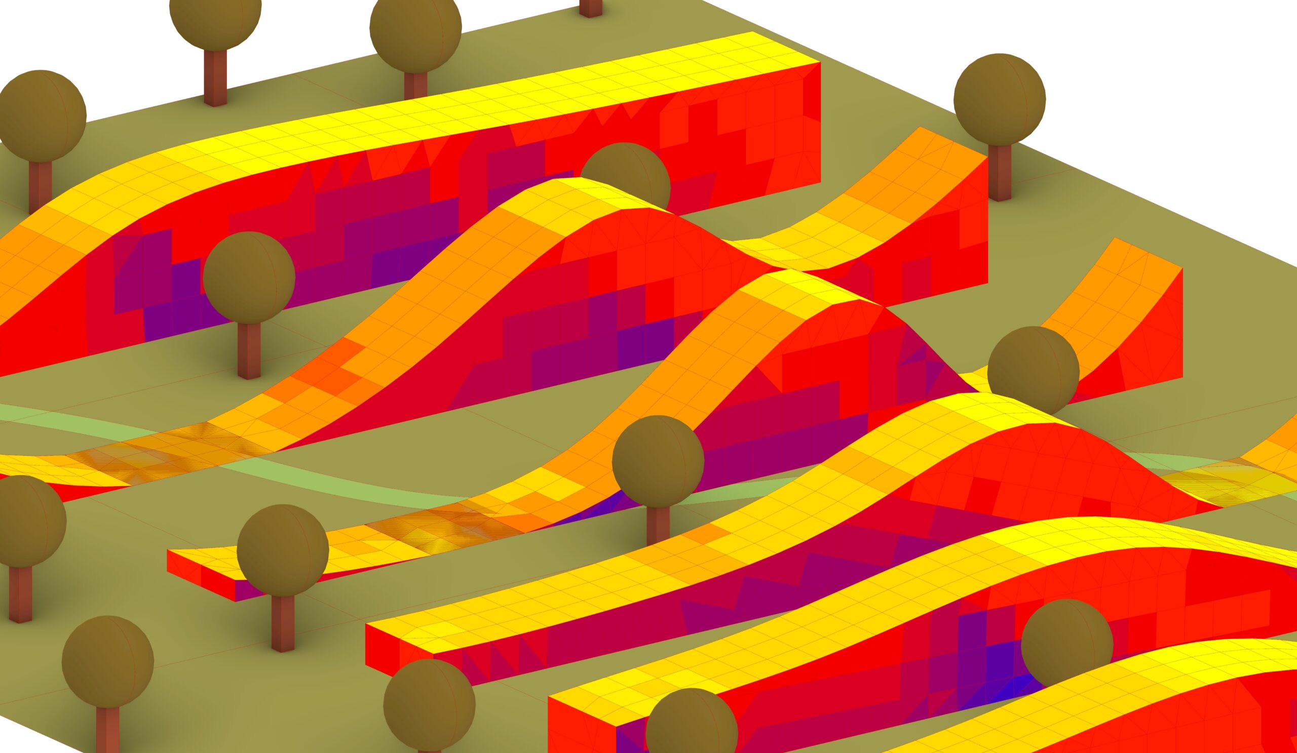
Optimizing Bar Buildings for Sunlight and Pathways The aim of this project was to design a typology of housing is needed that resembles small, artificial terrains. The Bar Building typology will have set of long, dense buildings that will mimic the form of a topography. The forms will need to be optimized to allow for all the … Read more
Cary

Cary is a carpooling platform designed for daily commuters travelling from peripheral areas to the city core. Our innovative ride package, flexible scheduling, and advanced matching algorithm connect drivers and passengers from the same area, ensuring unmatched comfort for frequent travellers. Cary helps save time and money while reducing traffic and fostering connections among users.
Último río urbano

Revitalizando la Cuenca Matanza-Riachuelo, Argentina La Ciudad de Buenos Aires se compone de once cuencas hídricas, lo que la convierte en una ciudad río por excelencia. Hasta principios del siglo XX, los arroyos y ríos de la ciudad eran a cielo abierto, lo que generaba una conexión natural entre la ciudad y los ríos. Con … Read more
Performative Design – optimizing the Anthropocene Computational Design III – final assignment
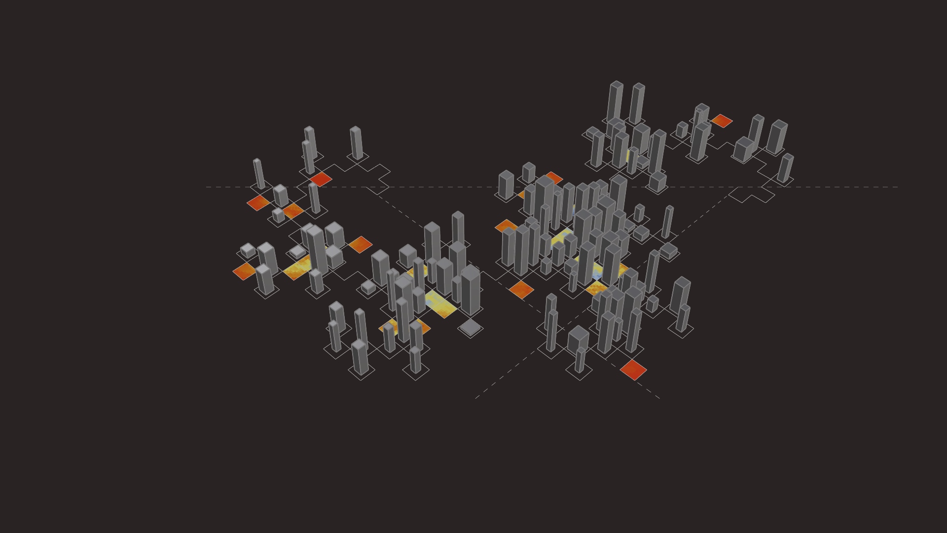
_performative design Optimization : “The action of making the best or most effective use of a situation or resource.” Design optimization: “The process of finding the best design parameters that satisfy project requirements.” Design Objective: Design an optimized dense urban occupation plan that follows a fractal pattern grid. Optimization Goals of the project: _designing the … Read more
