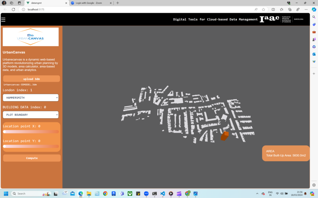
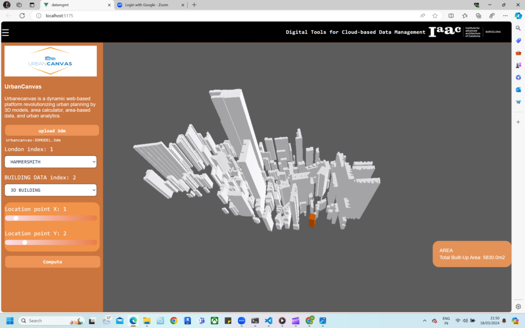
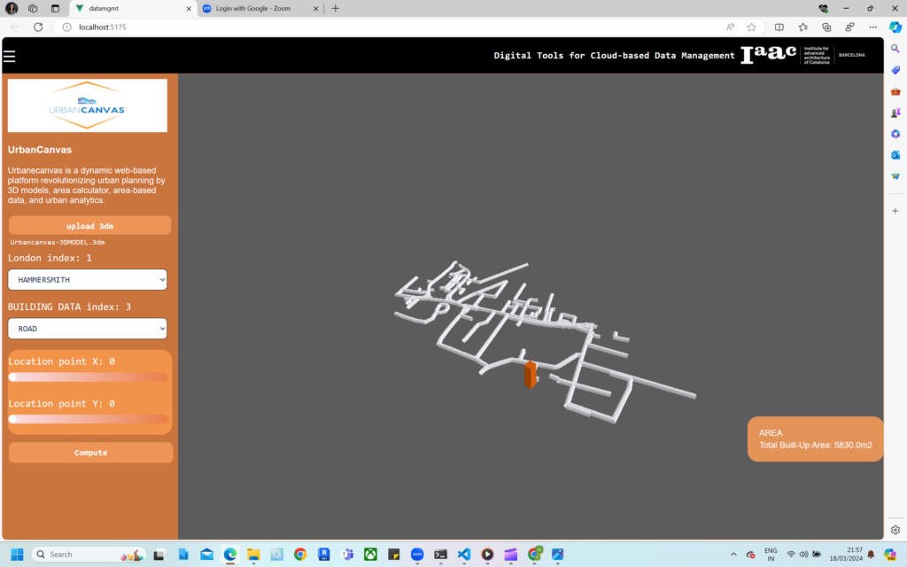
UrbanCanvas is an innovative web application designed to provide comprehensive and detailed data for urban areas, empowering users with precise information about plot boundaries, buildings, 3D structures, roads, land usage, and empty plots within a city. This platform seamlessly integrates advanced mapping technologies, data visualization, and analytics tools to facilitate urban planning, real estate development, and property assessment.
Key Features:
Zone-wise Data Visualization:
- Users can navigate through city zones to access detailed information on plot boundaries, building structures, roads, and land usage.
- Each zone is color-coded for easy identification, allowing users to quickly assess the urban landscape.
Plot Boundary Identification:
- Utilizing satellite imagery and GIS data, UrbanCanvas accurately outlines plot boundaries, providing a clear understanding of land demarcations.

Building Information:
- Users can click on individual buildings to view specific details, such as building height, construction material, and usage (residential, commercial, industrial).
- 3D building models offer a realistic representation of the urban environment.

Road Network Analysis:
- The platform includes a detailed road map, categorizing roads by type (main roads, arterial roads, local streets) and providing information on traffic flow and congestion.

Land Usage Data:
- UrbanCanvas categorizes land usage into various types (residential, commercial, recreational, etc.), aiding urban planners, developers, and policymakers in making informed decisions.

Empty Plots Identification:
- Vacant plots are highlighted, enabling investors and developers to identify potential opportunities for real estate development.
Built-Up Area Calculator:
- Users can input parameters such as plot dimensions, building height, and number of floors to calculate the total built-up area.
- The platform offers detailed floor-wise breakdowns, aiding in precise area per floor calculations.

Property Analytics Dashboard:
- A centralized dashboard provides analytics and insights, including trends in urban development, property values, and growth patterns.
User-Friendly Interface:
- UrbanCanvas features an intuitive and user-friendly interface, making it accessible to urban planners, architects, developers, and government officials.
Data Export and Integration:
- Users can export data for further analysis and seamlessly integrate UrbanCanvas with other planning and analytics tools.
UrbanCanvas revolutionizes urban planning and property assessment by providing a holistic view of city landscapes, promoting informed decision-making, and facilitating sustainable development.

