Innovative Urban Planning in Singapore: The Urban Playground Project
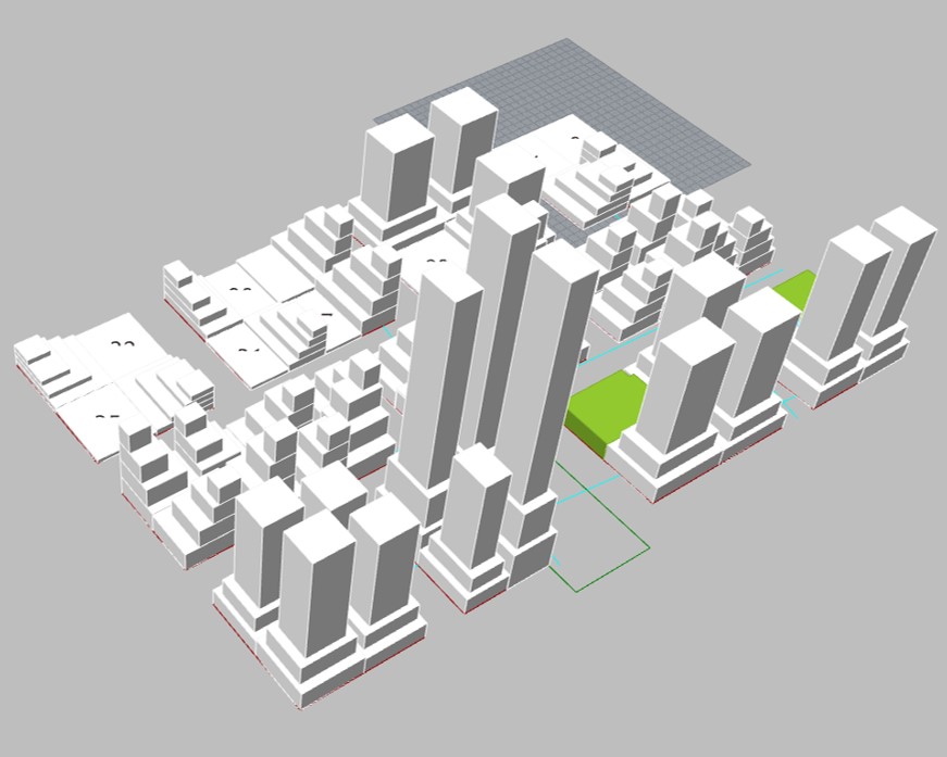
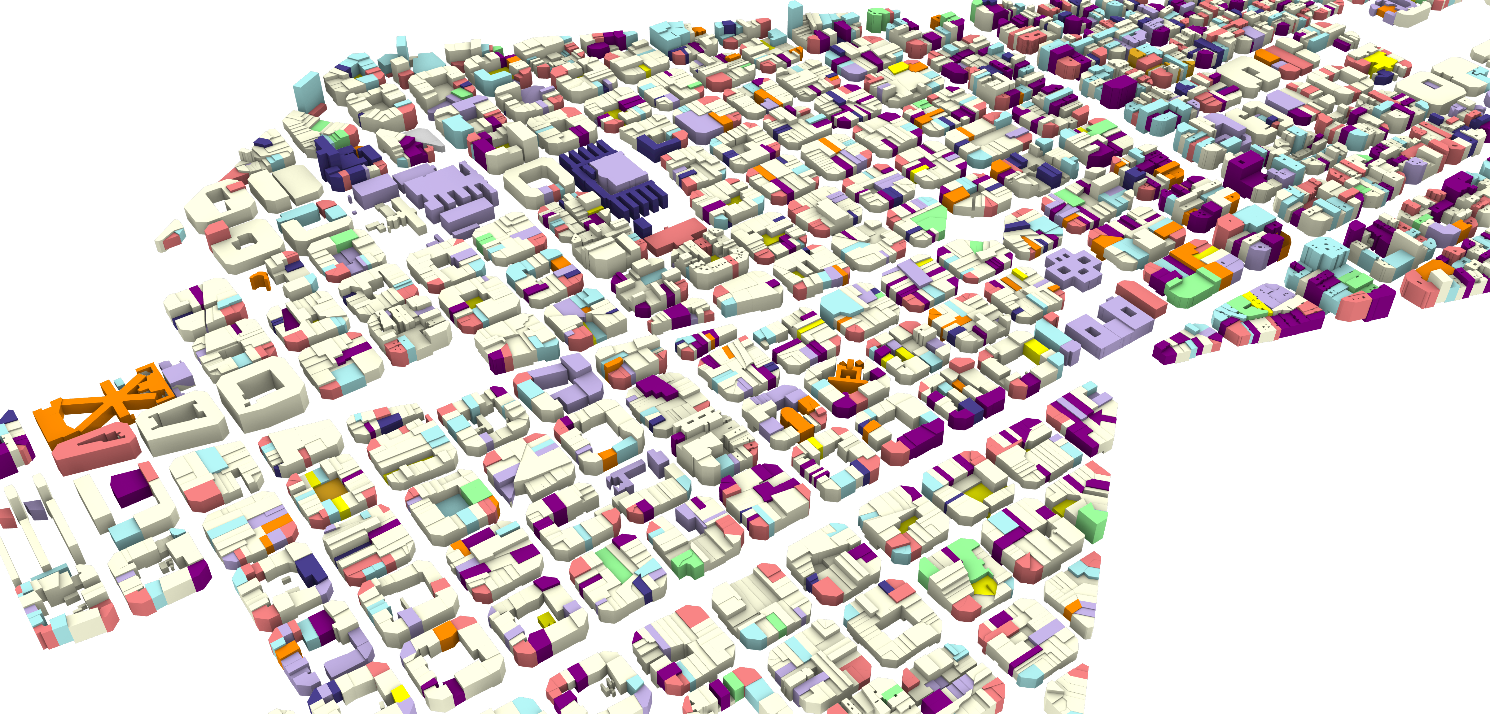
In the rapidly urbanizing landscape of Singapore, the demand for innovative urban planning solutions is paramount to accommodating the growing population while preserving the city-state’s unique cultural and environmental heritage. This project proposes an exploration of a playful design methodology to devise novel urban block typologies tailored to Singapore’s specific needs and constraints. This research … Read more