Thermal Insight: Optimizing Indoor Analysis
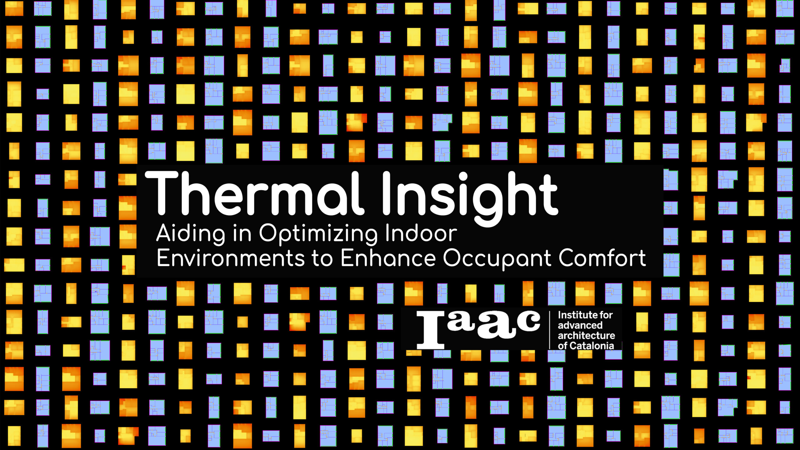
Thermal Insight would be a standalone app that optimizes indoor environments by predicting thermal comfort. With simulations from trained models to help enhance occupant comfort and energy efficiency, evaluating metrics like PMV, PPD, and MRT. This tool would help improve well-being and productivity while achieving efficiency goals. Abstract Methodology Use Case Data Analysis Results and … Read more