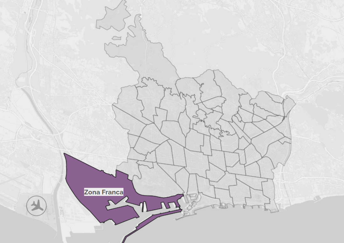
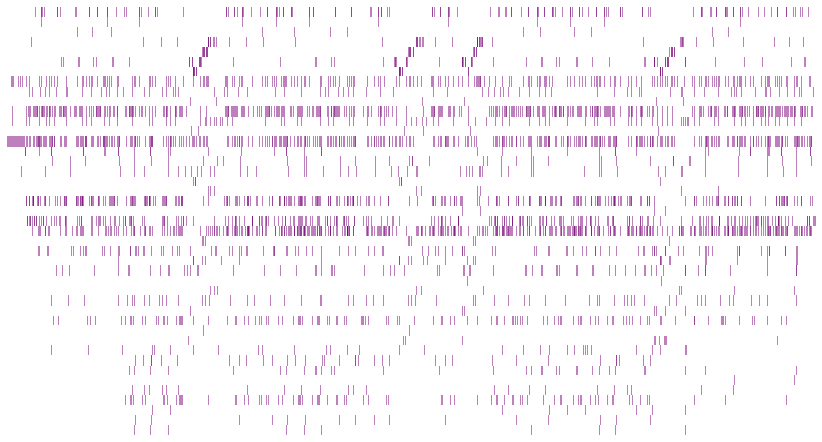
The Master in City & Technology’s academic structure is based on IAAC’s innovative, learn-by-doing and design-through-research methodology which focuses on the development of interdisciplinary skills. During the Master in City & Technology students will have the opportunity to be part of a highly international group, including faculty members, researchers, and lecturers, in which they are encouraged to develop collective decision-making processes and materialize their project ideas.

Filters
Course

Data Visualization Using GeoPandas in Python

1.Geospatial Mapping using GeoPandas in Python In Python, GeoPandas plays a crucial role in facilitating geospatial analysis through its powerful functions. I will illustrate the concise process of leveraging GeoPandas to create maps of Barcelona. This involves a systematic application of GeoPandas’ functions for effective geospatial data synthesis and mapping. Step 1: Loading GeoDataFrame from … Read more

Sprouting Habitats

Introduction The project “Sprouting Habitats” investigates the impact of ecological conservation sites, particularly in the context of waterbirds. As most living organisms on earth, birds heavily rely on water and its associated habitats, such as wetlands, to support crucial phases of their life cycle, including migration, breeding, and wintering. Unfortunately, human activities like intensive agriculture, … Read more

Slo-Mo-Go: Tourism in Slow Motion

A digital tool proposed to re-boost the economy of Ciutat Vella, Barcelona Overview Ciutat Vella being the oldest district of the city of Barcelona was founded in the 1500 BC. The Ciutat Vella district was a very important economic hub for Barcelona. But in the recent times, the district faces problems that are characterised by … Read more

La Zona Franca, Barcelona. A new centrality?

The Zona Franca in Barcelona is an area that receives thousands of workers everyday and, having The Port, is one of the main points of contact of the city with the rest of the world. Through a quick analysis based on an understanding of the site, questions and issues within Barcelona’s ‘Free-Trade’ zone are tackled … Read more

Valor del Districte Platform

Catalyzing Innovation in 22@Nord Barcelona’s 22@Nord district, often referred to as the former “Catalan Manchester,” is poised to become the epicenter of digital knowledge and innovation. This transformation aligns with Barcelona’s commitment to technology, engagement, and education, setting the stage for the implementation of the Valor del Districte Platform to support resident and public investment … Read more

Exploring the Hydrography of the Besos River

Understanding Surface Water Dynamics : Analysing Besos River Runoff, Accumulation, and Water Levels. The Besos River, flowing through Catalonia, Spain, is a significant water body supporting both ecosystems and human activities. Its hydrology plays a pivotal role in the regional environment and socioeconomic landscape. The dynamics of surface water runoff, accumulation, and water levels in … Read more

Green Trails: Paving the Way for Comfortable Cycling

In the bustling streets of Barcelona, a city that effortlessly weaves together history, culture, and modernity, uncovering a comfortable path becomes a journey in itself. Navigating Barcelona isn’t just about finding the quickest route; it’s about immersing oneself in the rhythm of the city and embracing its unique character. Conclusion Barcelona’s enchanting cycling paths, seamlessly … Read more

Sunlit Streets, Shaded Paths

Computational Tools for Thermally Comfortable Walks in Barcelona On one of the sunniest days in the city of Barcelona, you want to go for a walk and get some fresh air but the heat from the sun makes you uncomfortable. Can you go for the walk without the sun making you completely sick? The objective … Read more

FloodZone Analytics

Introduction Water-related disasters, such as floods and droughts, have become increasingly frequent and severe due to climate change, representing significant global challenges. Urbanization and land use changes are contributing factors, with settlements in high flood-risk areas growing. In studying Milan and the Lambro river basin in Northern Italy, we observe increasing frequencies of floods, highlighting … Read more

EndSARS in Brief: A Snapshot of the Movement

This project aimed to visually narrate the EndSars protest movement that unfolded in Nigeria from October 8th to 20th, 2020. This movement emerged as a powerful response to the acts of violence perpetrated by the Special Anti-Robbery Squad, a specialized unit of the Nigerian Police Force established in 1992 to combat crime (Amnesty International, 2020). … Read more

Travelling Paris

Paris, often hailed as the world’s most popular tourist destination, beckons millions of visitors each year with its unparalleled blend of history, culture, gastronomy, and romance. At its heart stands the iconic Eiffel Tower, symbolizing the city’s architectural finesse and innovative spirit. The Louvre Museum, home to countless masterpieces, invites art aficionados to meander through … Read more

Mapping Airbnb data in San Francisco

Since its launch in 2007, Airbnb has revolutionized the hosting industry: By providing a simple and intuitive online platform, it connects millions of hosts and visitors worldwide. Born in The Bay, the app has changed the dynamics of the whole area, impacting sectors that extend from tourism to the housing market. Through the analysis of … Read more

Understanding the City through Data, Maps & Code

Finding the ratio of natural Green spaces to the Educational institutions in Barcelona city, Spain. TOOLS USED INTRODUCTION Barcelona, like many modern cities, has been actively working on providing open datasets to the public. Open datasets are valuable resources that foster transparency, innovation, and engagement within communities. Barcelona’s open datasets cover a wide range of topics, including urban … Read more