From Spatial Data to Economic Intelligence
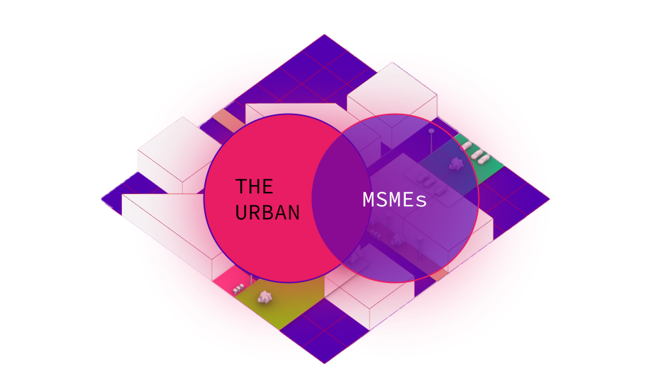
Leveraging remote sensing and geospatial analytics to inform smarter, more adaptive economic policy Across the globe, cities face a pivotal challenge: unlocking the potential of their micro, small, and medium enterprises (MSMEs) to drive both urban transformation and national economic growth. These enterprises, often comprising over 90% of businesses in developing economies, act as the backbone of urban economies, creating … Read more