atlas of vacant spaces
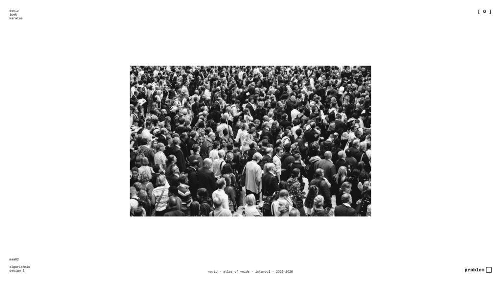
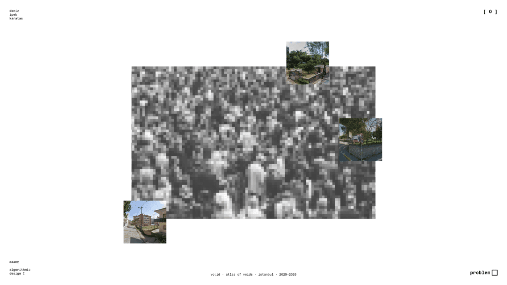
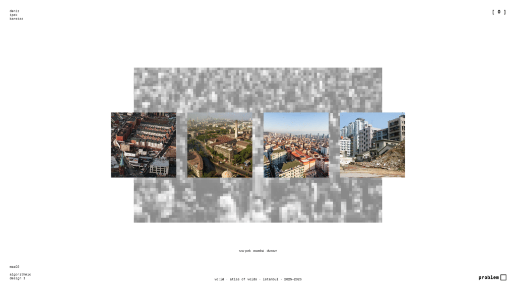
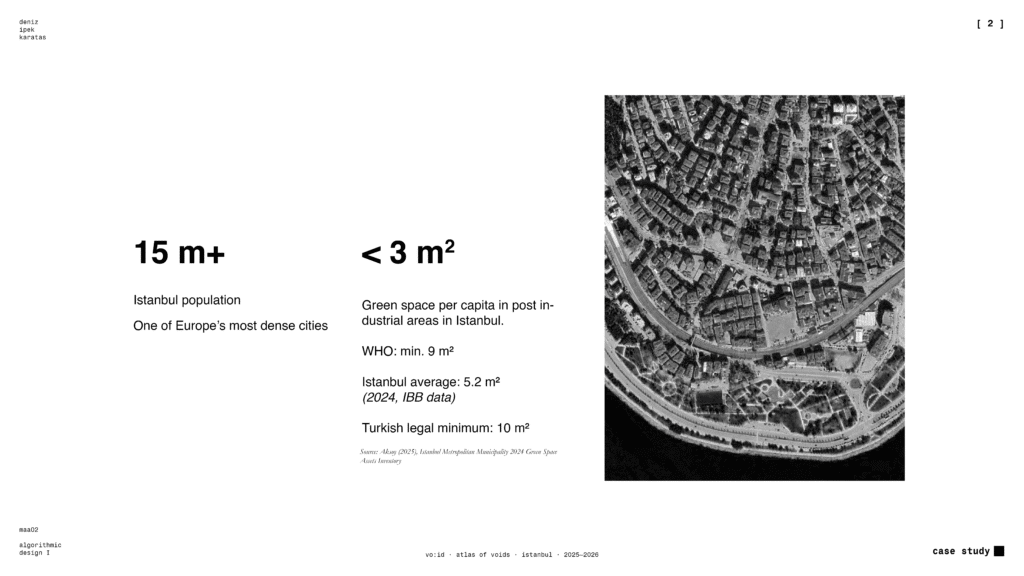
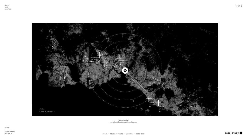
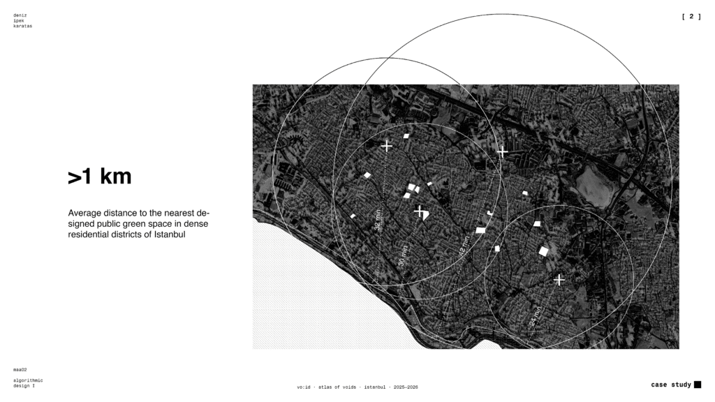
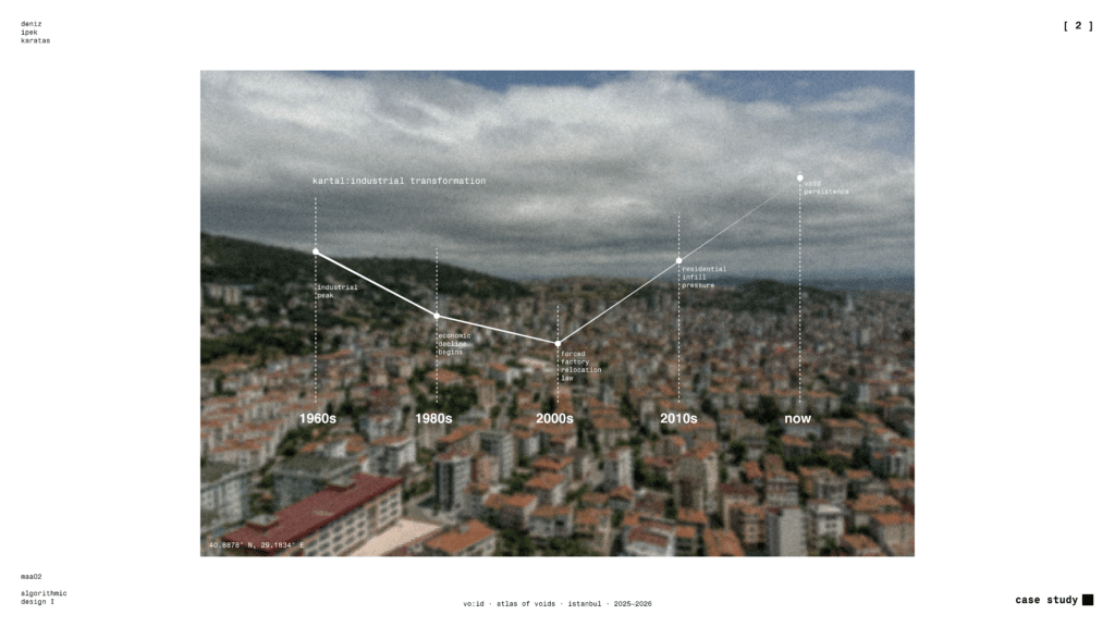
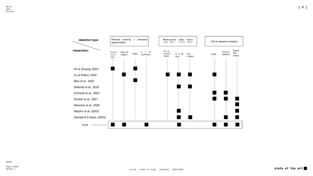
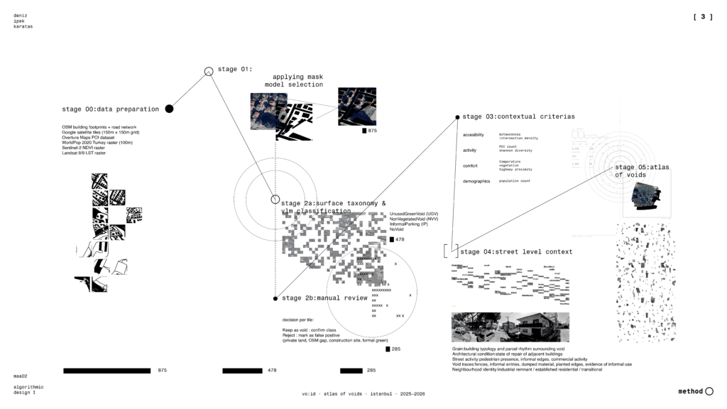
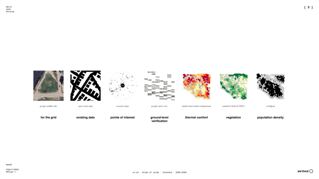
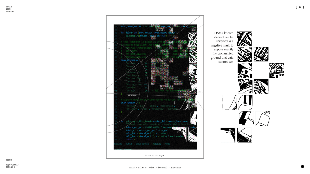
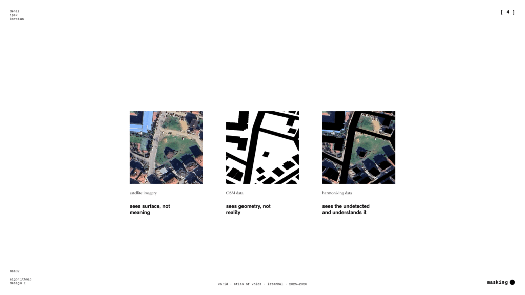
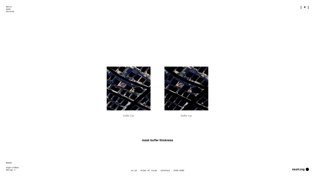
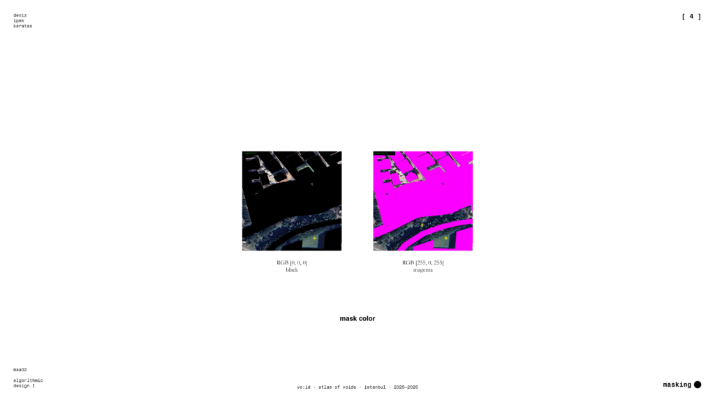
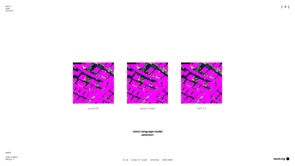
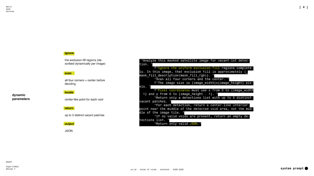
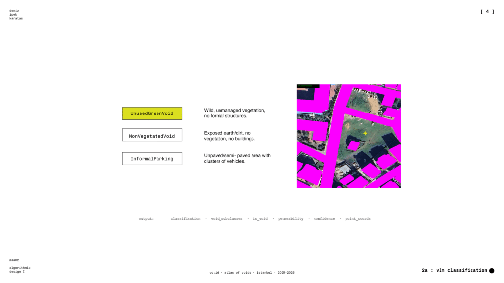
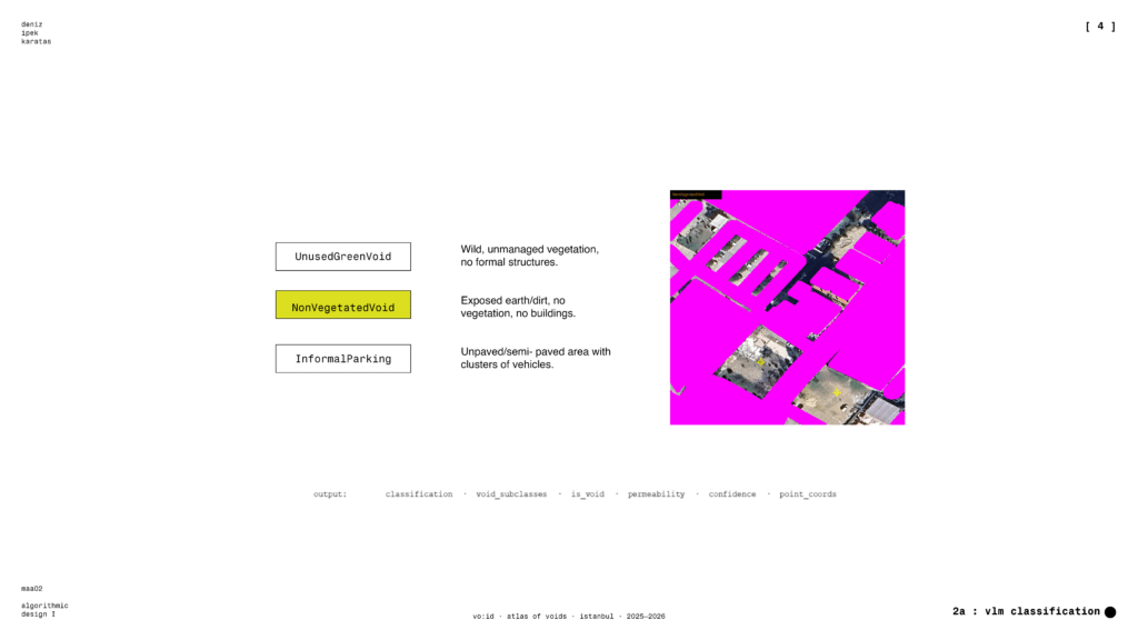
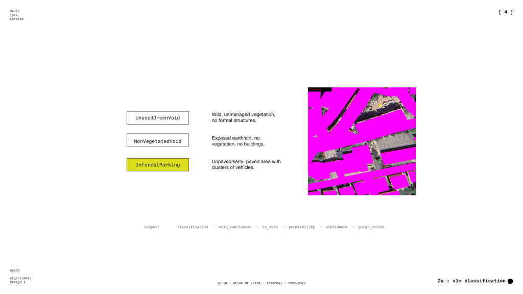
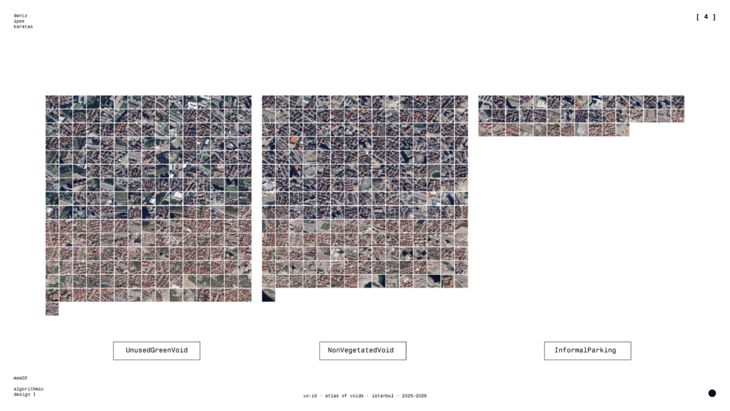
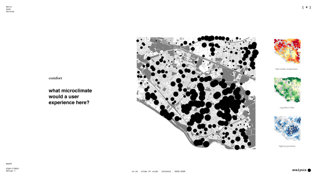
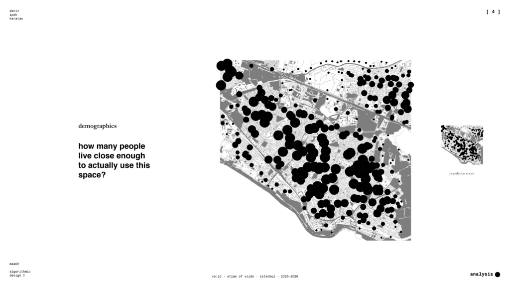
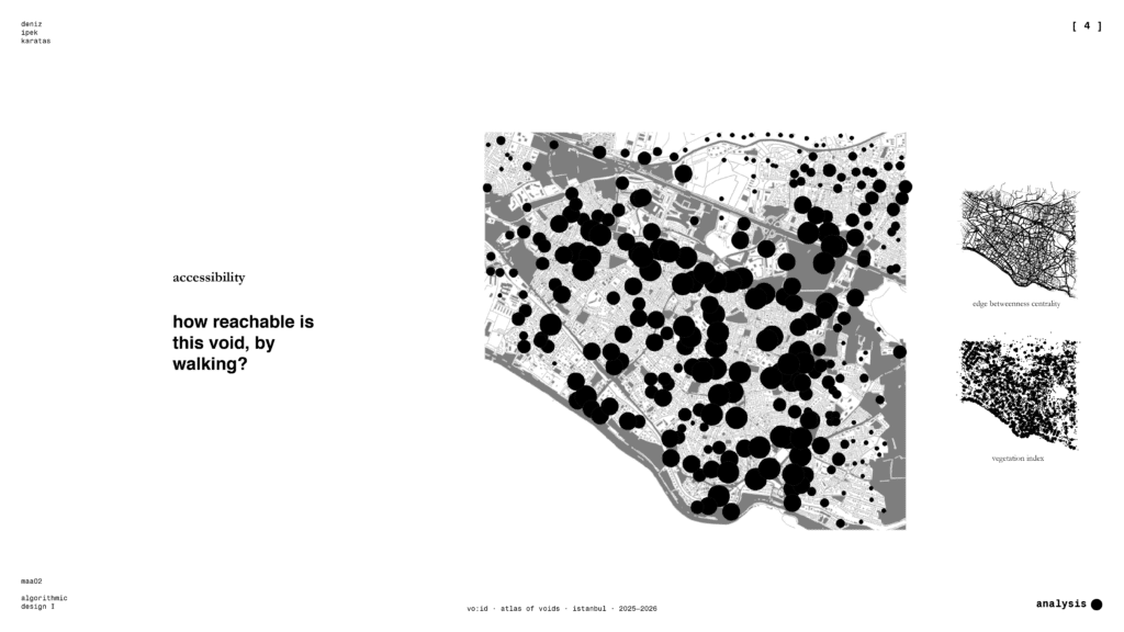
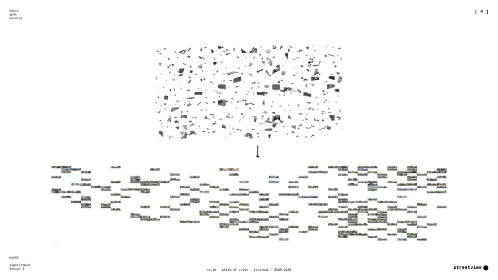
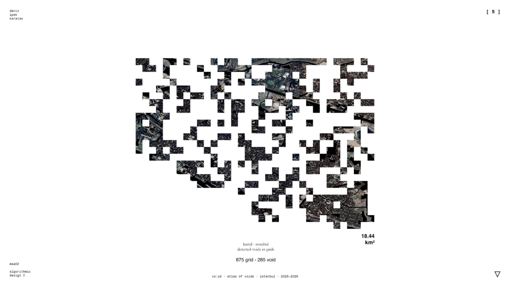
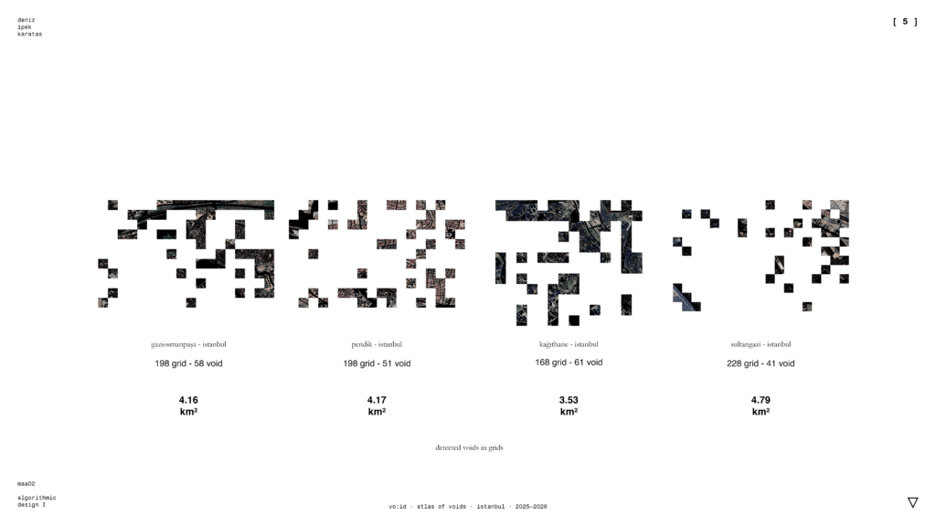
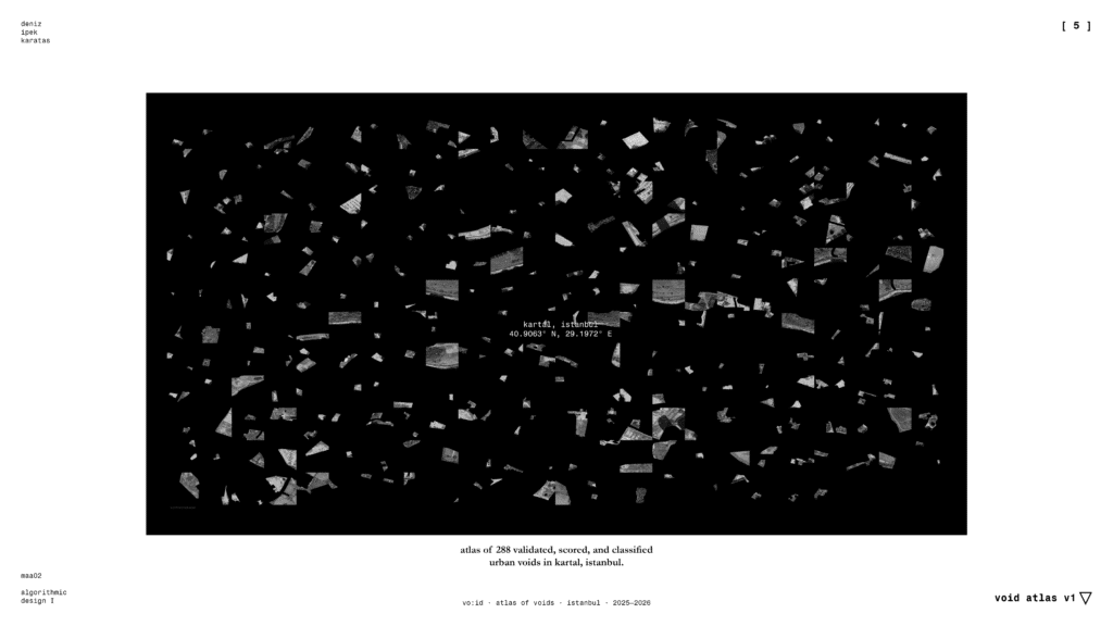
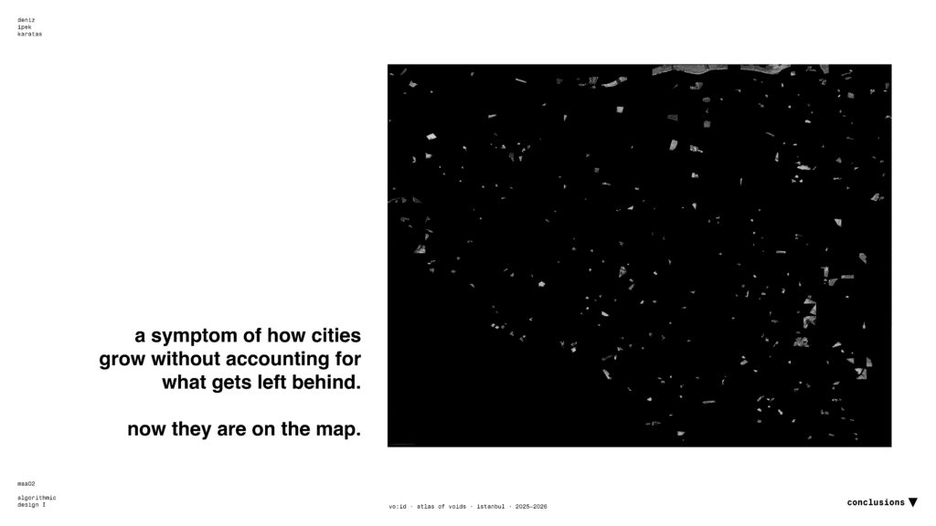
Urban vacant land in dense, post-industrial cities remains spatially invisible: absent from open datasets despite its potential to address chronic green space deficits. This thesis “vo:id” is a pipeline detecting, classifying, and prioritizing urban voids using only globally covered open data. Combining OSM-based negative masking, vision-language model classification, and human-in-the-loop validation, the method identifies 288 voids across 875 tiles in Kartal, Istanbul. Each void is scored across accessibility, activity, demographics, and comfort, then contextualized through street-level imagery. Findings reveal severe microclimate stress district-wide. The contribution is a replicable, low-cost detection method which makes previously invisible urban resources legible for designers, planners, and residents.
https://void.denizikaratas.com/