MY PARKS : Predicting Miami City’s Parks Scores based on Amenities and Businesses
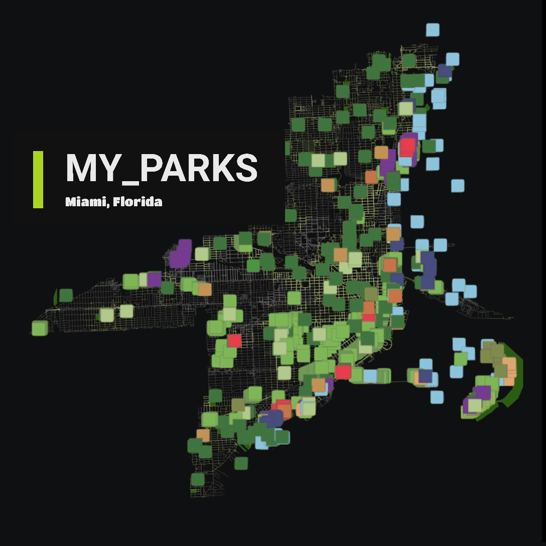
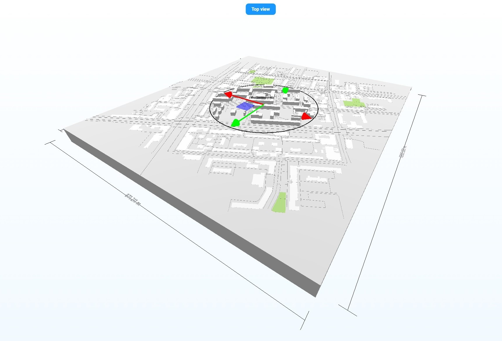
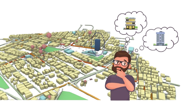
Rethinking Urban Spaces Parks and green areas are critical in cities as they provide spaces for people to meet, interact, and find a social life. They contribute significantly to the mental and physical well-being of residents, offering a natural respite from the urban hustle. Project Summary: According to google reviews, the most important factor for … Read more