During the Master in City & Technology + Thesis Project, students have the unique opportunity to work for an additional time of 9 months on an Individual Thesis Project, focused on the development of one research or pilot project based on the student’s interest. IAAC supports the student in selecting their Thesis Project topic in order to better orient them according to their future career interests and opportunities. Each student is assigned one or more Thesis Advisors that follow the development of the work throughout the year.

Filters

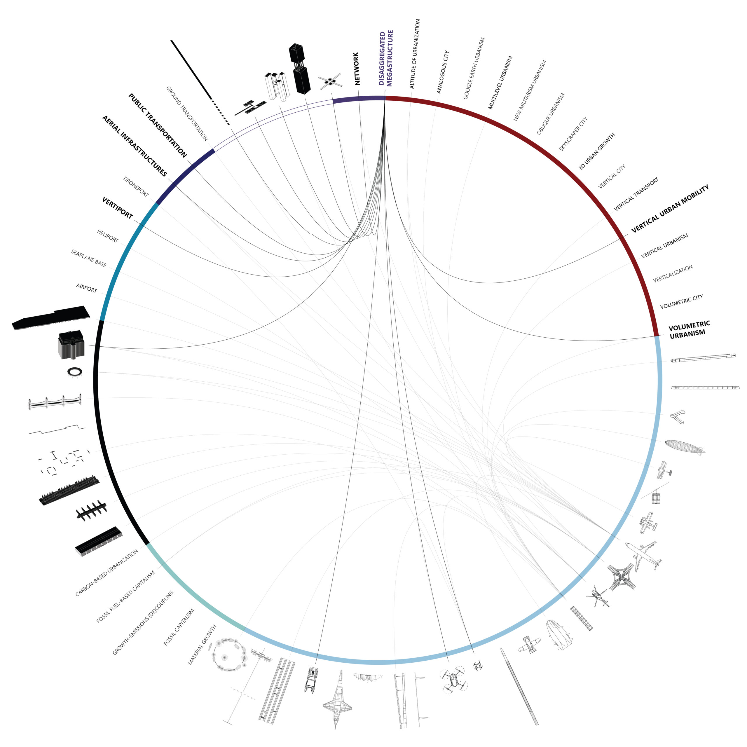
WHAT IS ADVANCED AIR MOBILITY?

A multidimensional and multiscalar exploration of the emerging Vertical Urban Transportation landscape. [A] INTRODUCTION “Advanced Air Mobility (AAM) is a rapidly-emerging, new sector of the aerospace industry which aims to safely and efficiently integrate highly automated aircraft into the NAS. AAM is not a single technology, but rather a collection of new and emerging technologies … Read more

Bits and Pieces

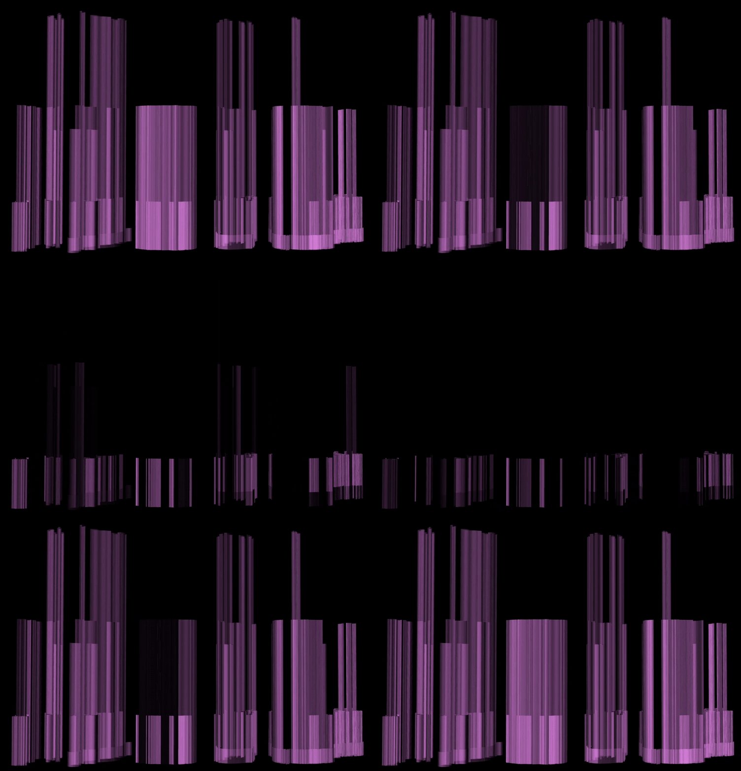
Pictures and symbols are valuable tools to communicate data. Pictures contain input data and representative symbols, generated from points, capture outputs. Pictures, or raster images, are often not geolocated and lack methodological explanation. Here, using the Bitmap+ plugin, pictures of urban conditions are tapped for the data they contain using the coloration of the image … Read more

Optimal Pathfinding in Digital Terrain

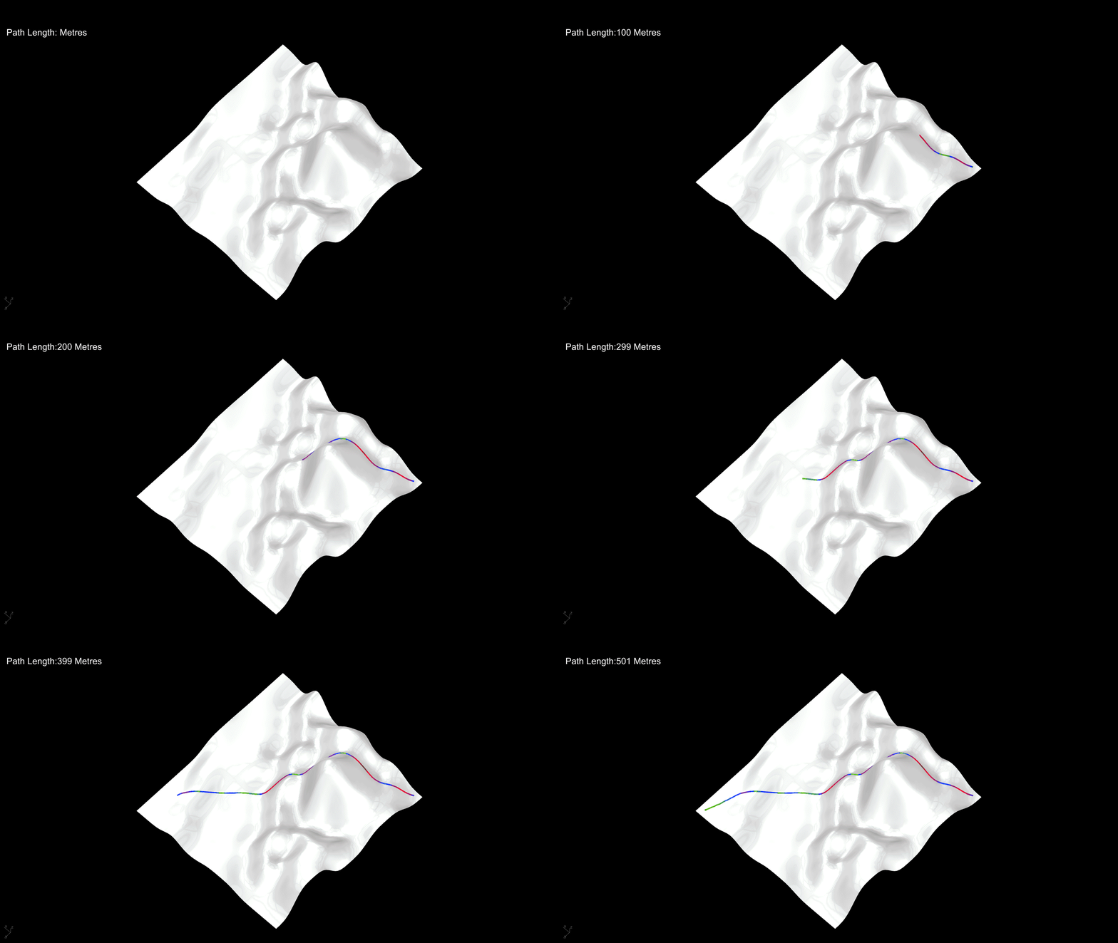
This exercise undertakes developing a shortest path simulation on varied terrains. Starting with basic point-to-point movements, I integrated agent behavior, enabling these agents to make decisions and take actions to move towards the destination point by choosing the best available option. The development of the simulation follows agent movement behaviors from two separate algorithms: Movement … Read more

WILDLIFE PATHWAYS

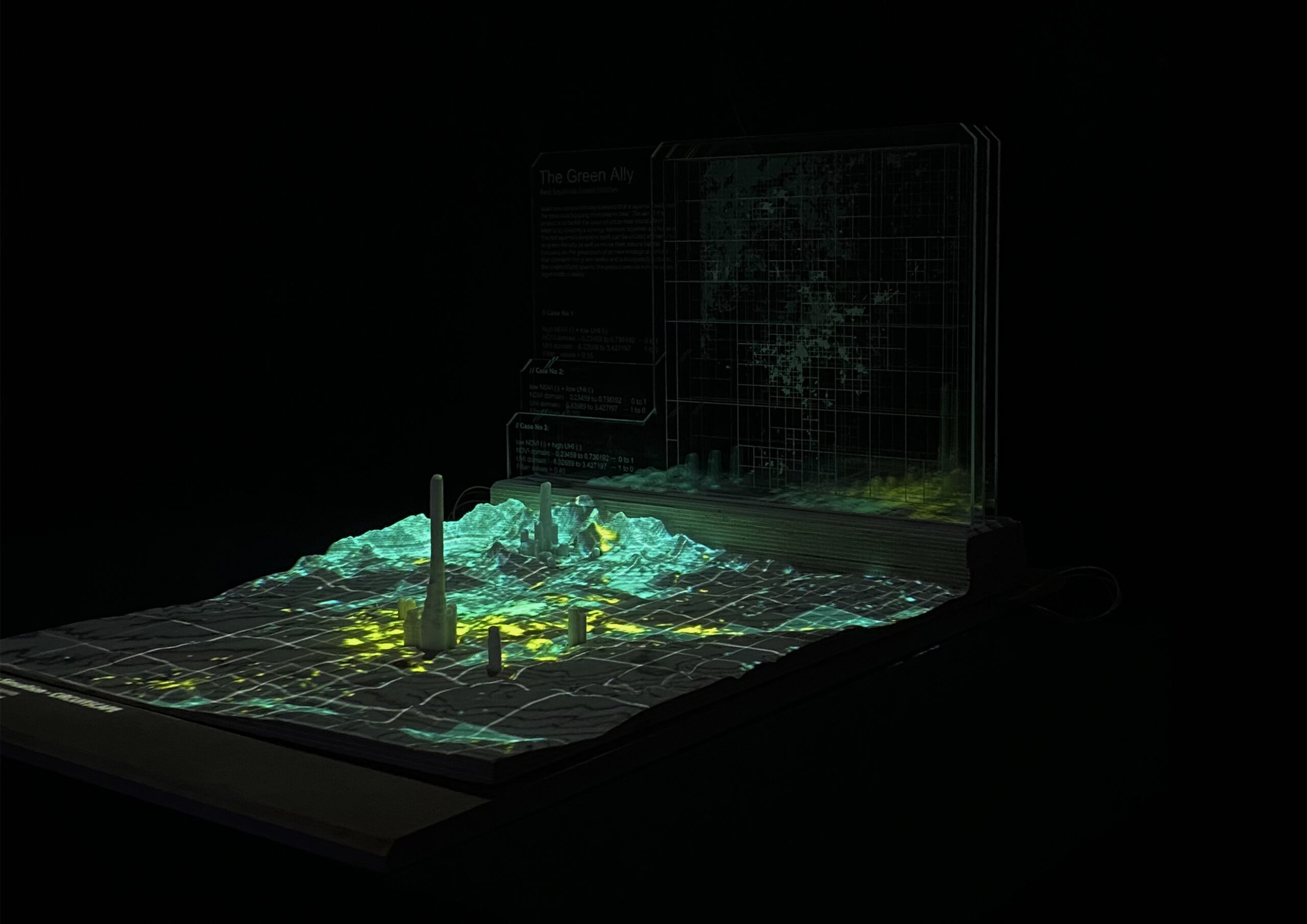
The “WILDLIFE PATHWAYS” is based on the “GREEN ALLY” project, that was developed at IAAC in the framework of the Master in City & Technology program, during the Internet of Cities Studio directed by Mathilde Marengo, Eduardo Rico, and Iacopo Neri. It provides a data informed approach that helps to integrate ecological needs within the … Read more

Routing Accessibility

Background Public transportation plays a crucial role in urban planning globally. Extensive research indicates that bus transit has become a highly favored mass mobility system. This preference stems from its cost-effective infrastructure, flexible planning, and discrete architecture that supports incremental growth. Bus transit systems exhibit lower infrastructure costs compared to rail or subway networks, making … Read more

ONE MUMBAI CITIZEN TOOL

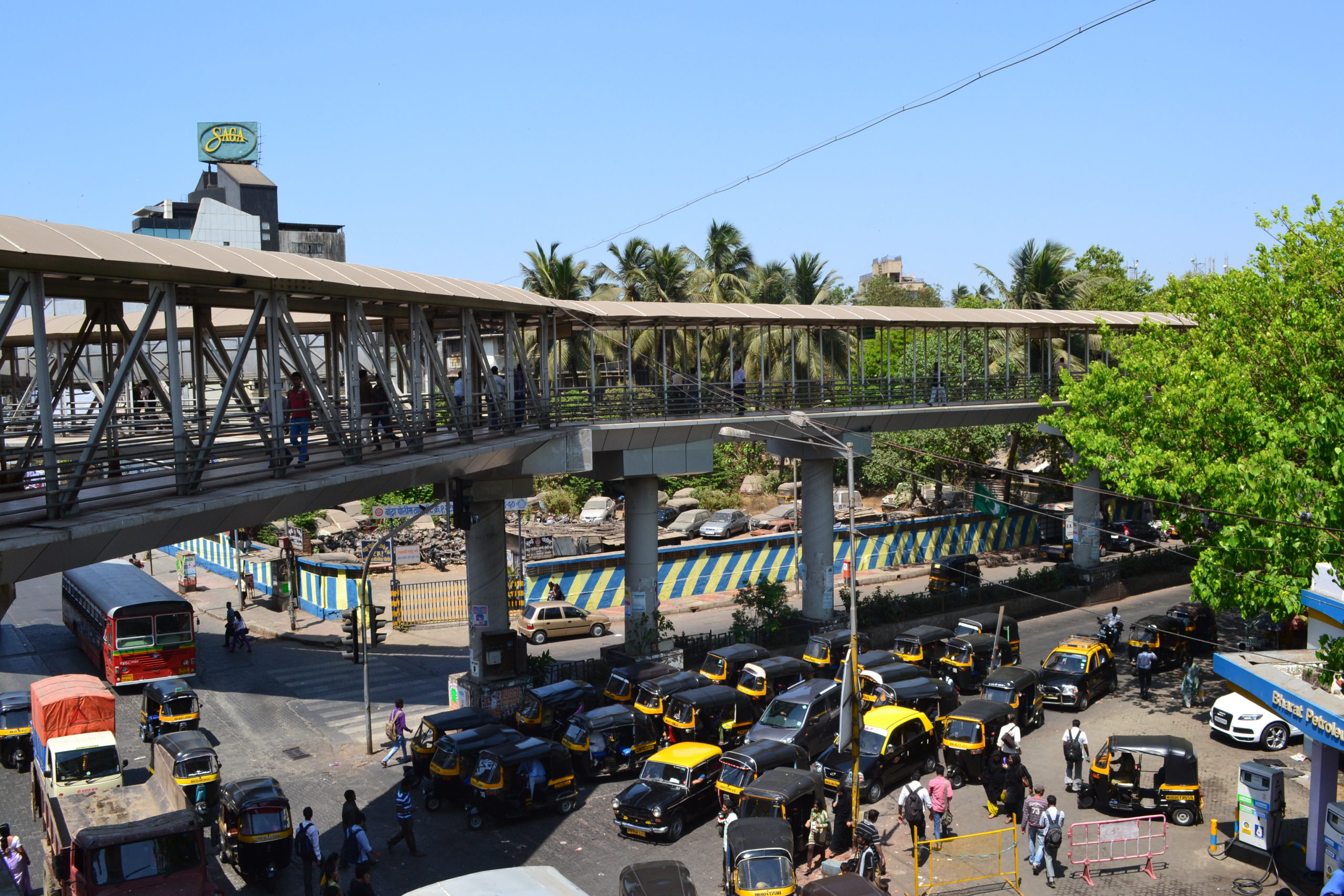
INTRODUCTION Urbanization poses escalating threats to ecological systems, necessitating the creation of urban ecological commons. This exercise focuses on Mumbai’s metro network, comprising 357 kilometres, 16 lines, and 38 interchanges, as a context for enhancing neighbourhood biodiversity through strategic environment plugins. By leveraging NDVI mapping from Google Earth Engine, areas with high ecological threats and … Read more

[DATA-CITY] MUMBAI

THE DESIGN AND FABRICATION OF CLIMATE ACTION INTERVENTIONS AND MODELS Our explorations surround the creation of climate action data models for the city of Mumbai. For a context that is only now becoming aware of the potential of data, The creation of interactive models can help educate citizens. The curation of multimedia models prototyped and … Read more

HANDS OVER BEIRUT and GREEN’IN CORRIDORS

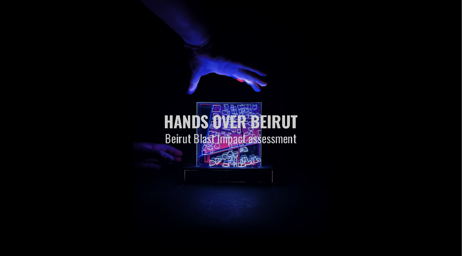
HANDS OVER BEIRUT Beirut Blast impact assessment visualization Neighborhood: Mar Mikhael (Beirut port)/ Gemmayze – Bashoura – Ashrafieh The Area chosen has received the most impact and visualization of the plot of land where buildings got damaged but on a different scale is relevant to understand the shock wave repartition. To physically be able to … Read more