IAAC’s Master in City & Technology (1 or 2-year program) is a unique program oriented towards redefining the analysis, planning, and design of twenty-first-century cities and beyond. The program offers expertise in the design of digitally enhanced, ecological and human-centered urban environments by intersecting the disciplines of urbanism and data science. Taking place in Barcelona, the capital of urbanism, the Master in City & Technology is training the professionals that city administrations, governments, industries, and communities need, to transform the urban environment in the era of big data.


Filters
Course

Harnessing AI in Design: The Neural Network Component in Grasshopper

Grasshopper’s neural network component is turning data into smart, functional design solutions. The neural network component within this environment presents a new frontier for design intelligence. Here’s a walkthrough of how this component transforms raw data into smart design solutions. The Training Grounds: Neural Network Trainer Designers input parameters into the Neural Network Trainer—this is … Read more

Agents from Outer Space

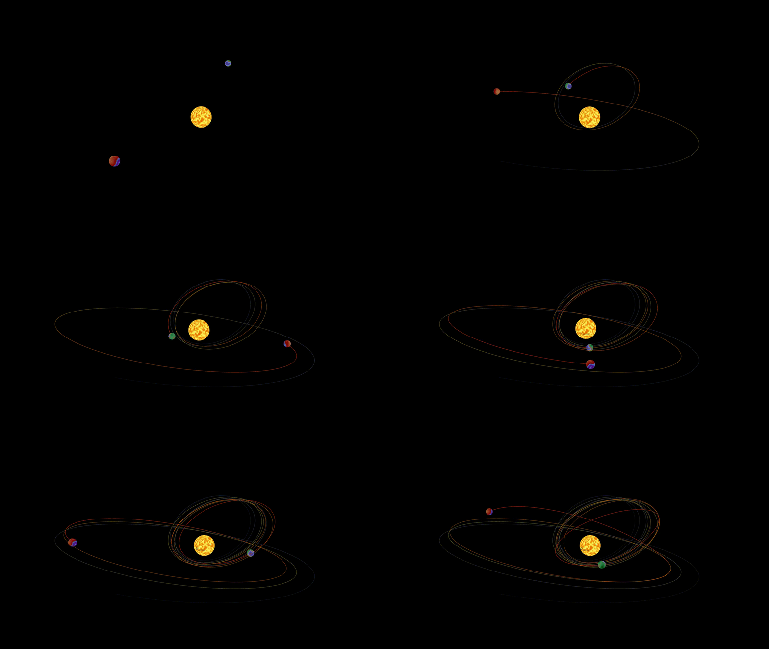
Introduction Simulations are a powerful tool for understanding the world around us as it exists, and also as it could be. The creation of models that reflect a given context by adhering to selected rules that are followed in said context, show how all the constitutive parts behave and evolve over time, and by doing … Read more

Fluid Dynamics

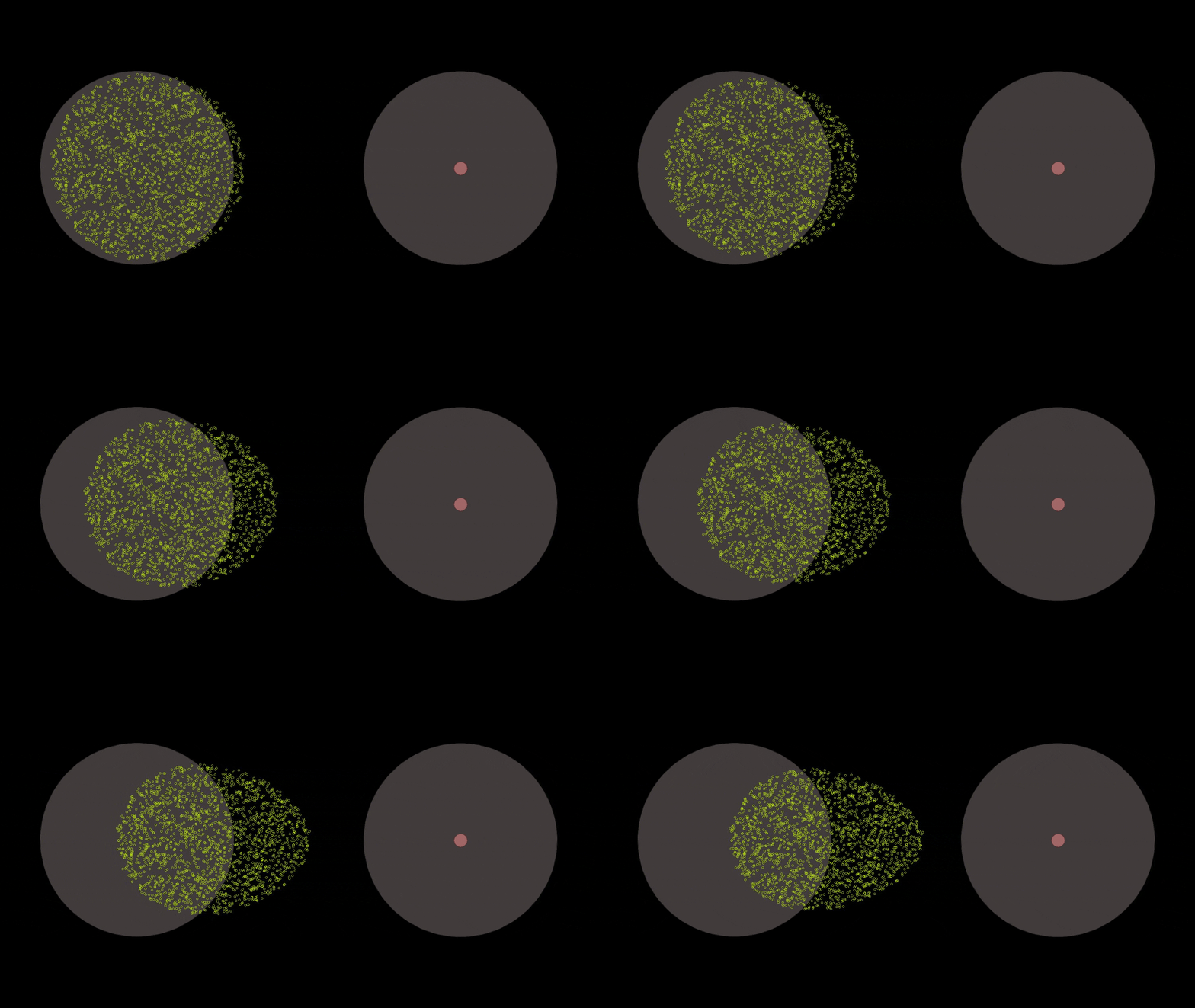
Introduction This exercise aims to create a customizable fluid simulator, to explore how microscopic particles interact with each other and their environment, ultimately building a foundation for understanding fluid dynamics at a smaller scale. The key challenge lies in computationally emphasizing the crucial behaviors of these particles. Fluids, despite appearing continuous, are actually comprised of … Read more

Computing Movements of an Urban Square

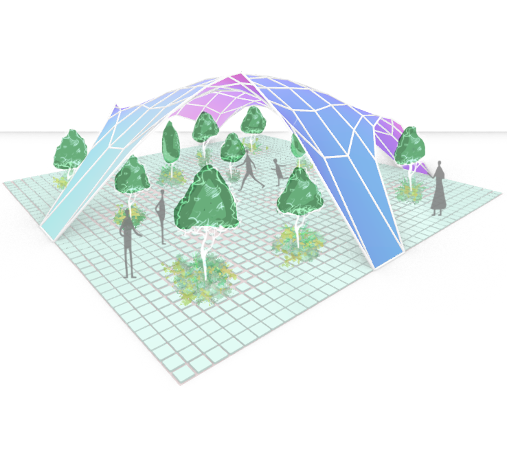
The research project imagined a tile of a underused urban plaza as a square-based petri dish to test the movement of points within the tiled surface. By defining a number of points within the geometry of the area, the density of tiles would decrease, relative to the closest point. The membrane between the ground plane … Read more

Mobility Amidst Chaos

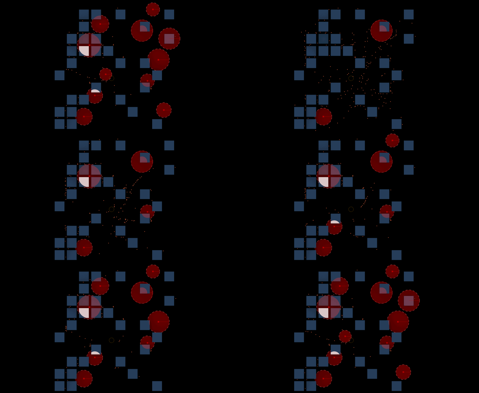
Exploring Changes in Movement Patterns Amid Violent Activities Abstract Walking amidst Chaos is a conceptual project which aims at seeing deviations in movement patterns of people in the wake of violent activities and conflicts within an urban fabric. The project is developed through a method of agent-based simulation to see the extent of change in … Read more

Bits and Pieces

Pictures and symbols are valuable tools to communicate data. Pictures contain input data and representative symbols, generated from points, capture outputs. Pictures, or raster images, are often not geolocated and lack methodological explanation. Here, using the Bitmap+ plugin, pictures of urban conditions are tapped for the data they contain using the coloration of the image … Read more

Agent Simulation_Measuring Intervention Impact

Visualizing an urban simulation of free-agents affected by a specific intervention The Objective The objective of the project was to simulate the movement of people within a specific neighborhood in the city of Viladecans, Spain, and visualize the difference the movement patterns of the free agents would take prior to the intervention vs post intervention. … Read more

Urbanization and gene pools: A simulation study

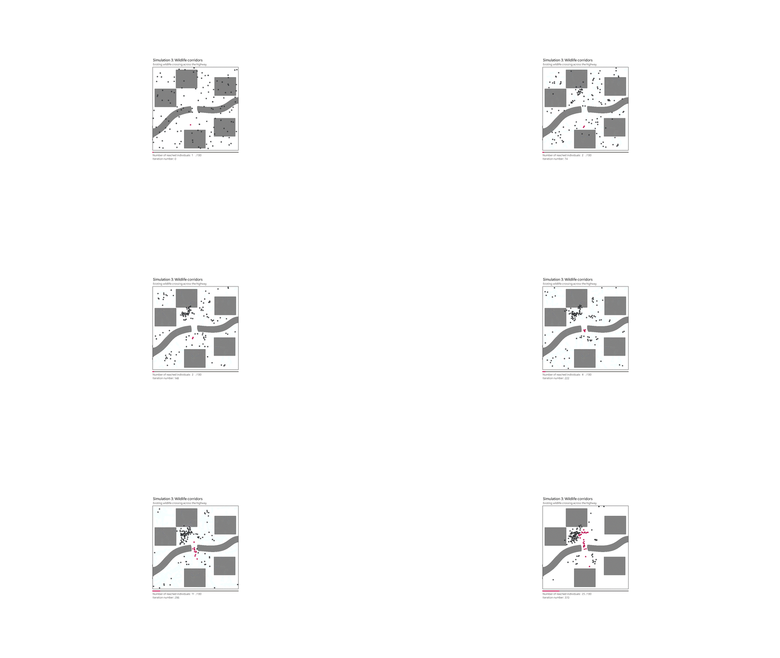
The persistent expansion of urbanization poses a significant threat to wildlife populations. One under-explored facet of this impact concerns the genetic health of these populations. Genetic diversity, measured by the variation within a gene pool, is crucial for resilience and adaptation. This project utilizes Grashopper-led simulations to explore the dynamics between habitat fragmentation, animal movement, … Read more

Reimagining the Barcelona Tourist Experience

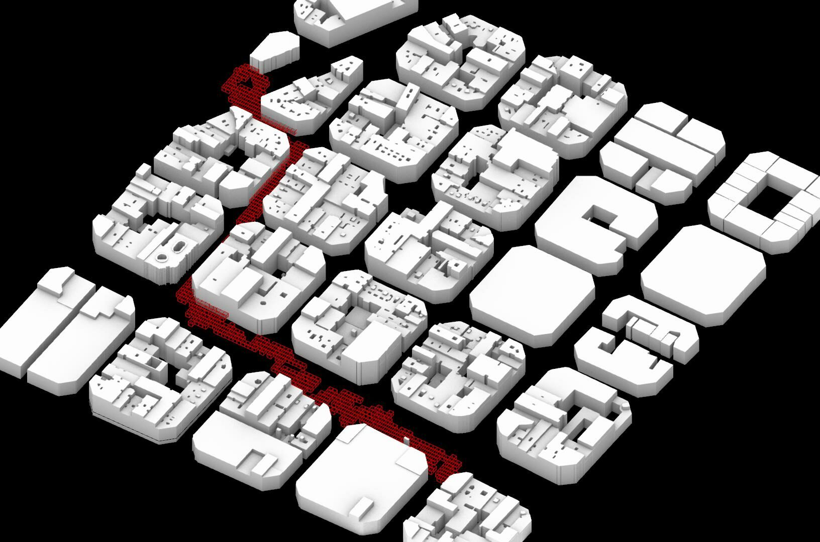
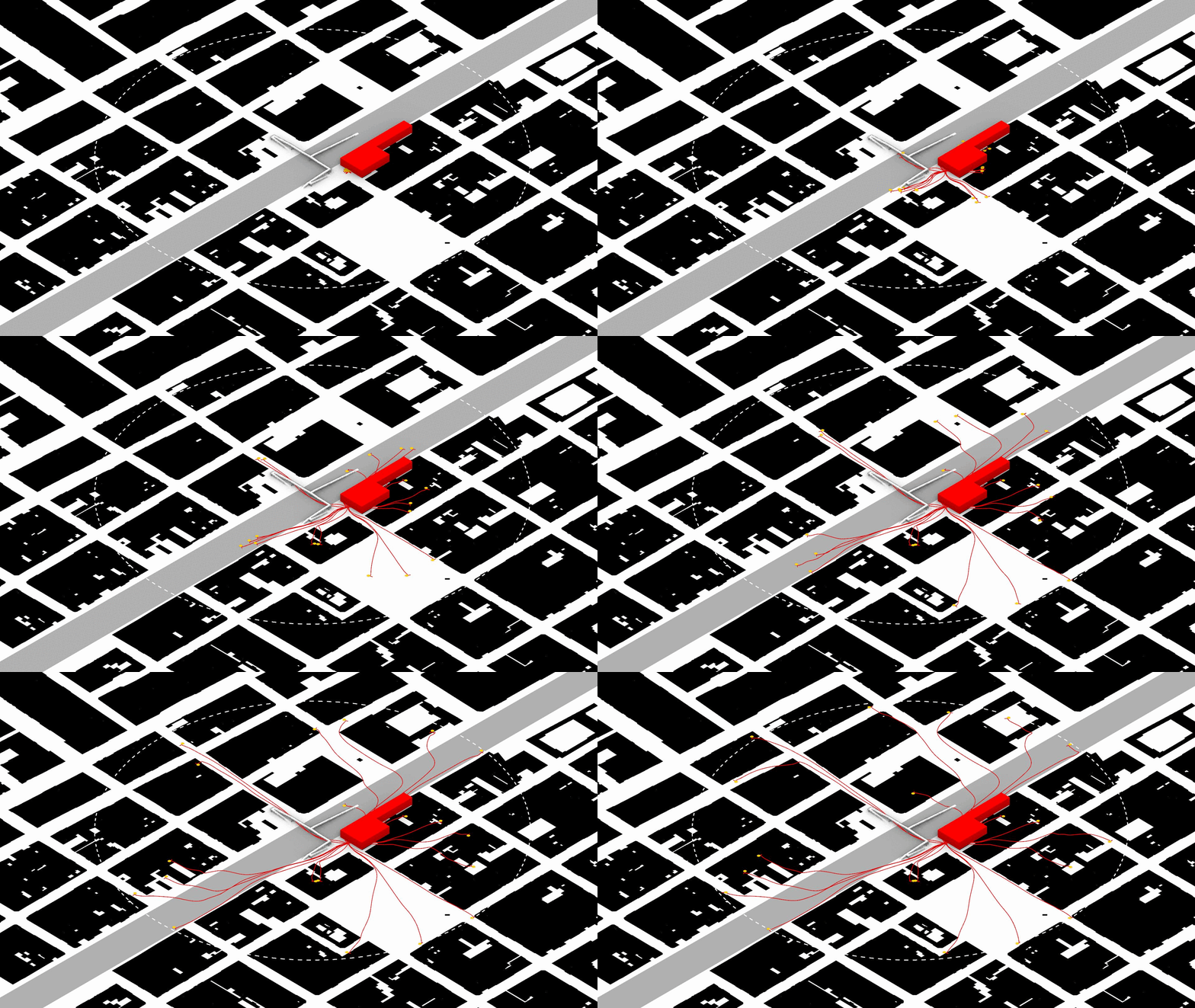
In this project I tackled the challenge of reimagining the way tourists navigate through Barcelona’s bustling streets, particularly the crowded paths that define their city experience. Starting with a pedestrian simulation tool, I was able to map out the most commonly walked tourist routes (from Casa Punxes to Casa Batllo). This allowed me to then … Read more

Flows and Barriers

Understanding the way pedestrians move through space is a task of heavy importance in the design and analysis of public space. It is fundamental to understand the motivations and utilities that influence the way pedestrians move through space. In cities such as Bogota, Colombia, heavy car-centered infrastructure has fragmented the city into clusters that limit … Read more

City in Motion: Analyzing People Movement with Agent-Based Modeling

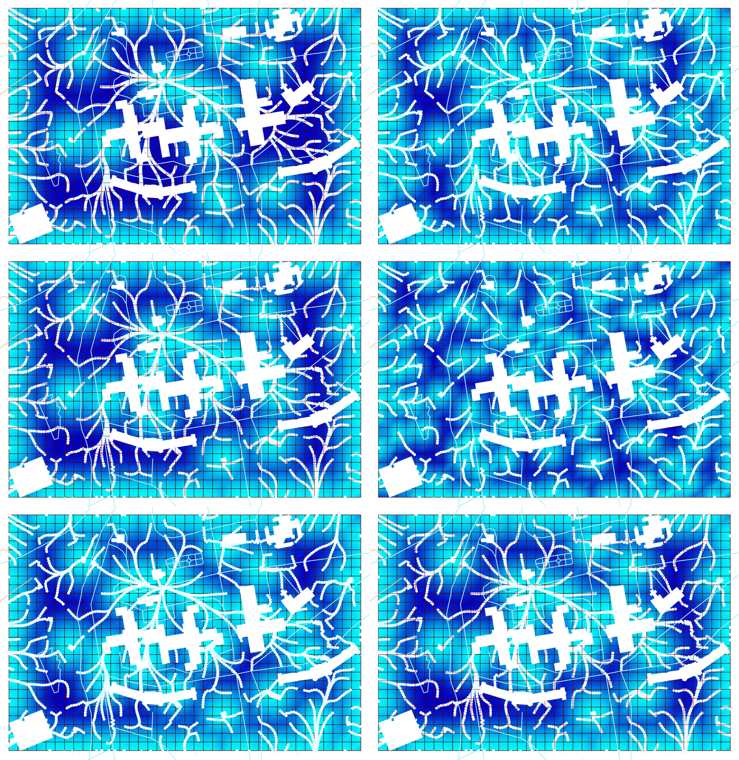
In the realm of urban design, understanding movement behaviors is paramount for creating efficient and people-centric city layouts. In this individual project, I delve into the intricacies of movement behaviors using computational tools and techniques, including agent-based modeling. By incorporating the loop evaluate field amplitude tool and employing vector display, scalar fields, heat maps, and … Read more

Solving the maze

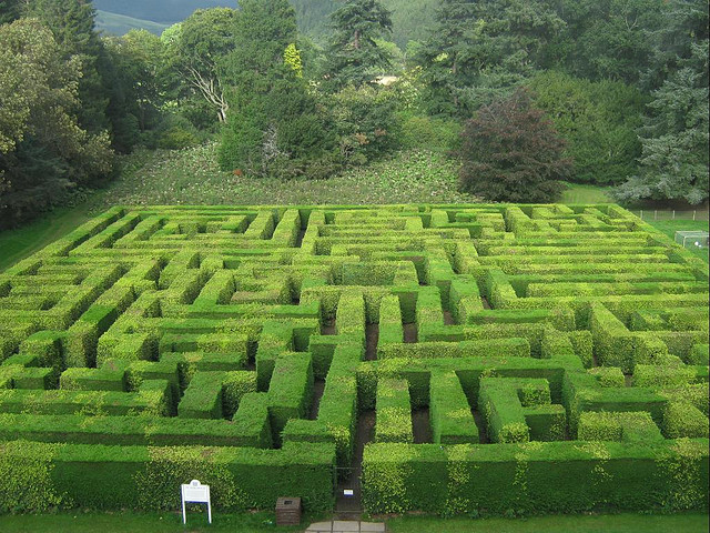
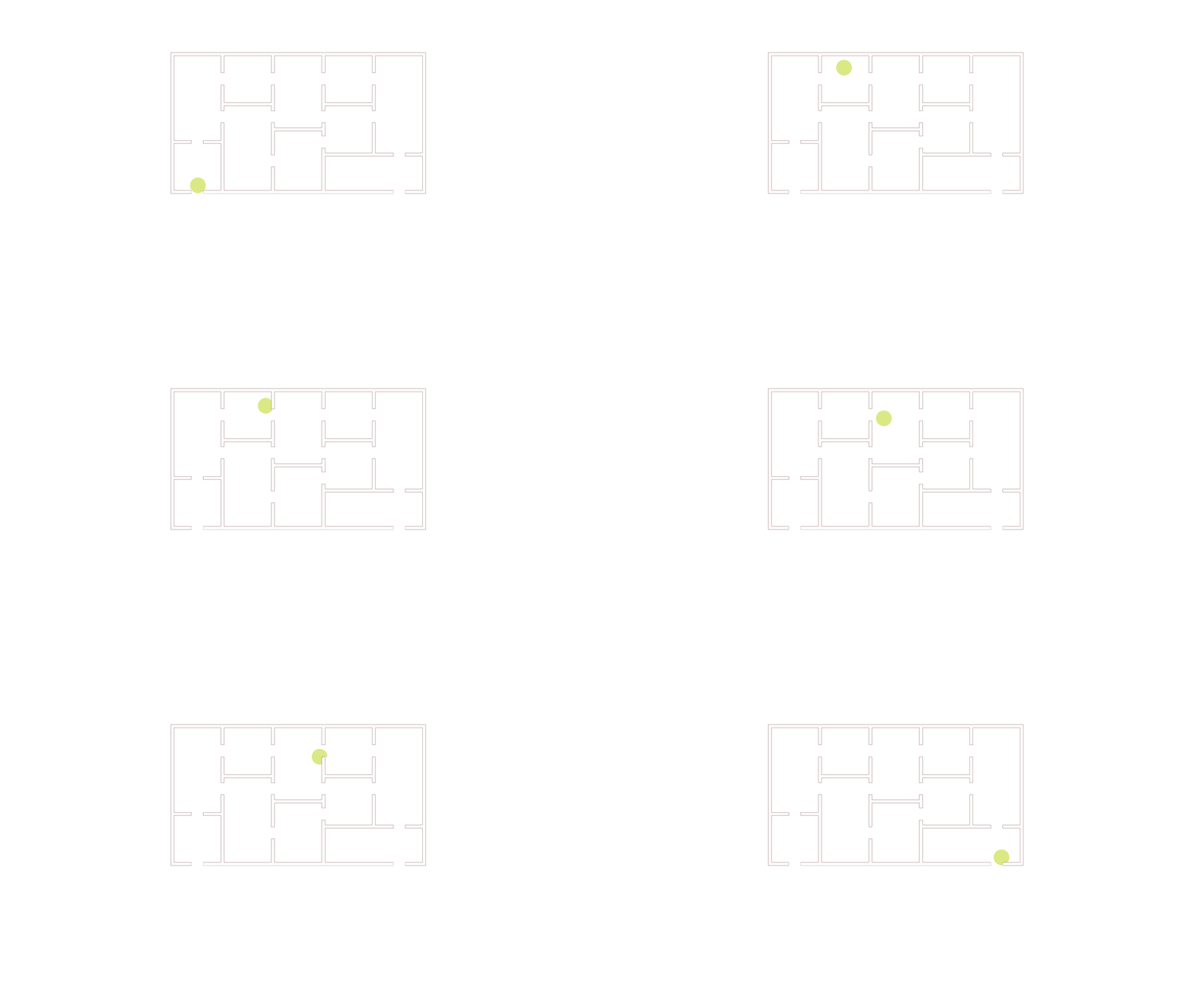
Mazes have fascinated humans for centuries. Solving them requires decision making based on limited knowledge, and the ability to remember and avoid previous mistakes. The problem of solving a maze from any given position within it, without knowing the location of the exit lends itself well to the iterative logic that is central to this … Read more