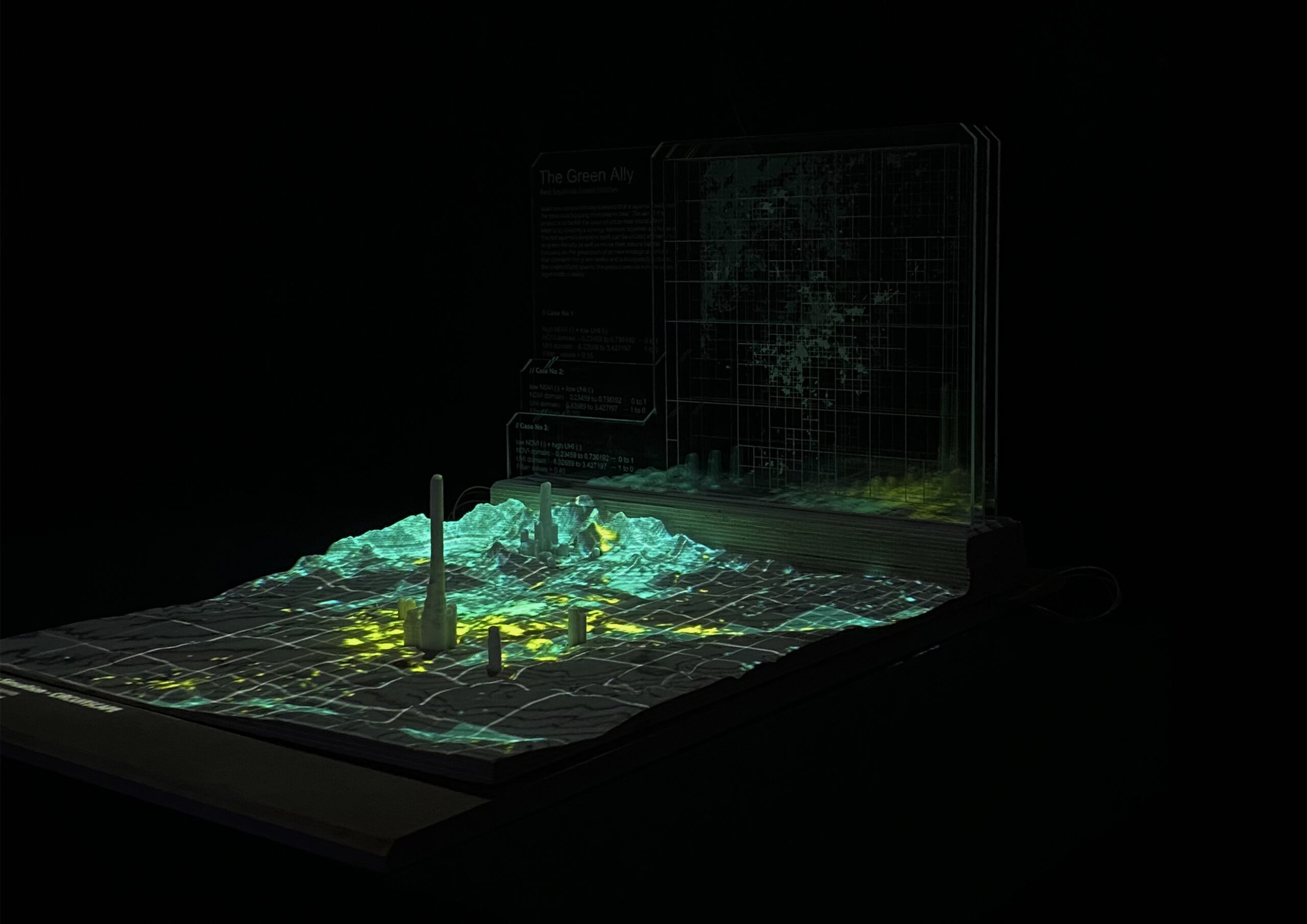
Harnessing AI in Design: The Neural Network Component in Grasshopper
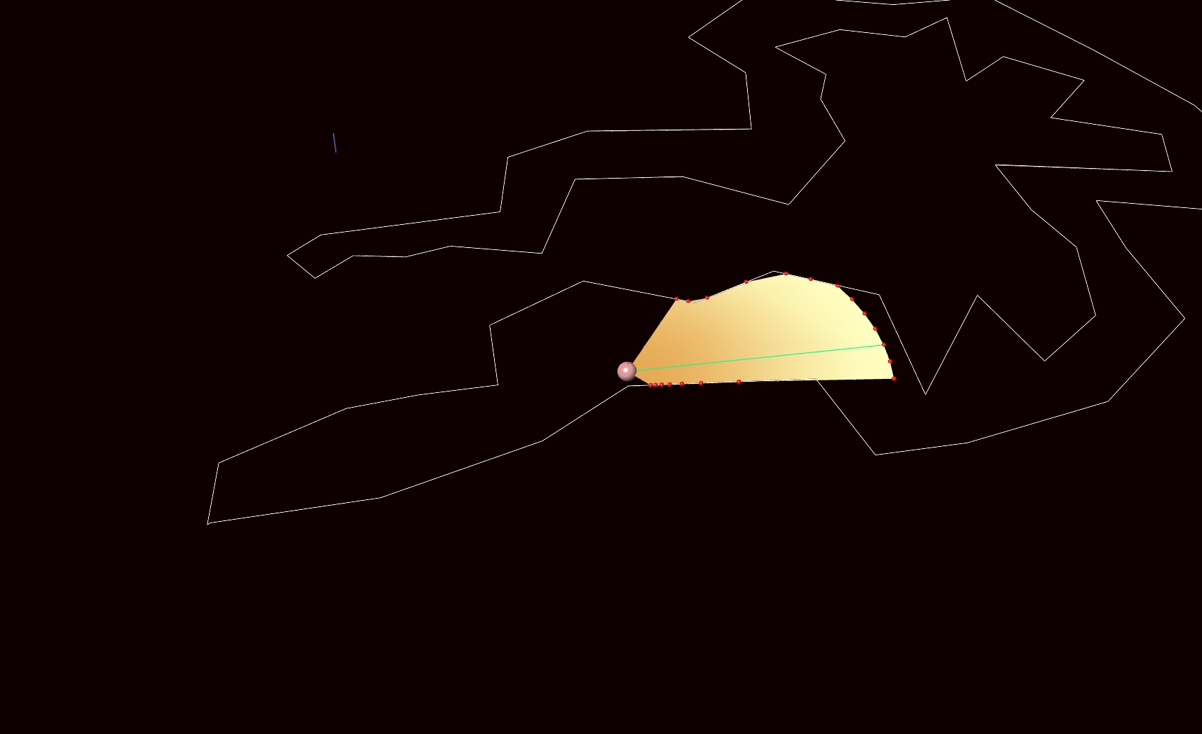
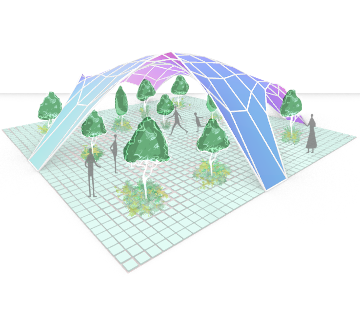
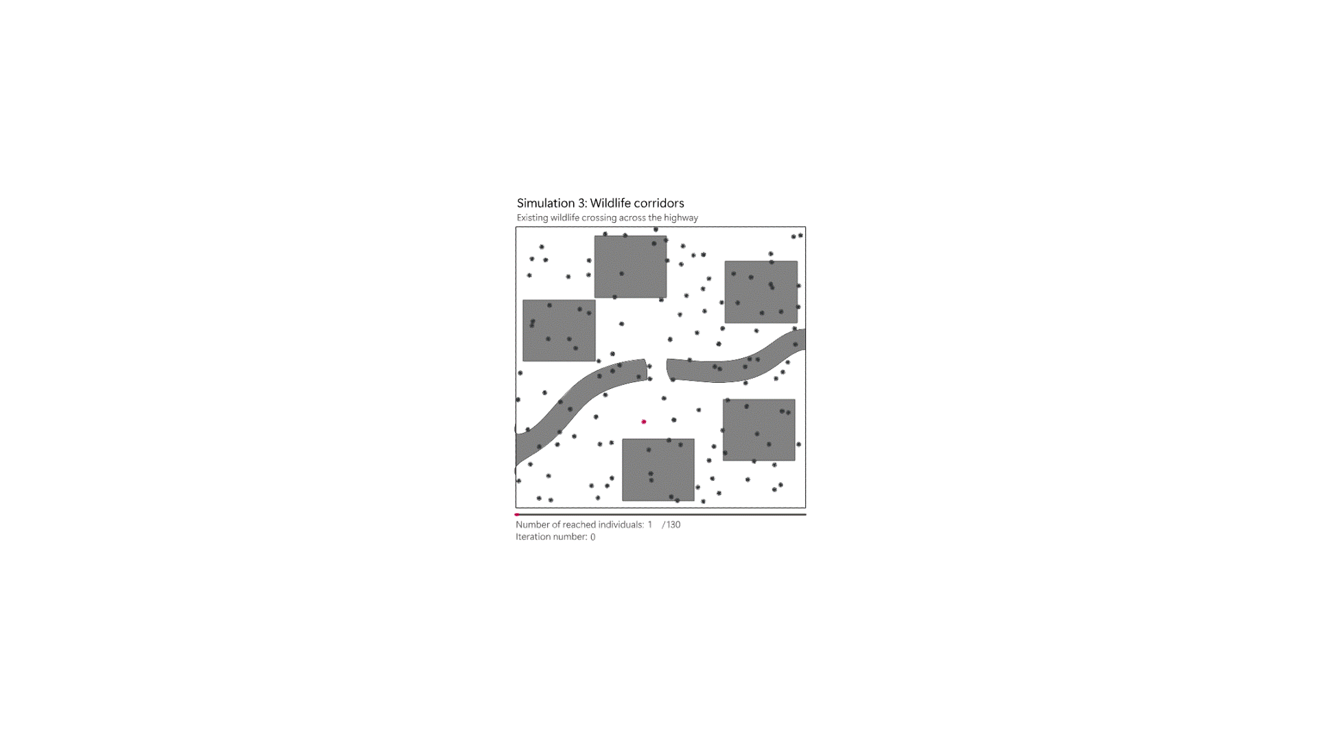
Grasshopper’s neural network component is turning data into smart, functional design solutions. The neural network component within this environment presents a new frontier for design intelligence. Here’s a walkthrough of how this component transforms raw data into smart design solutions. The Training Grounds: Neural Network Trainer Designers input parameters into the Neural Network Trainer—this is … Read more