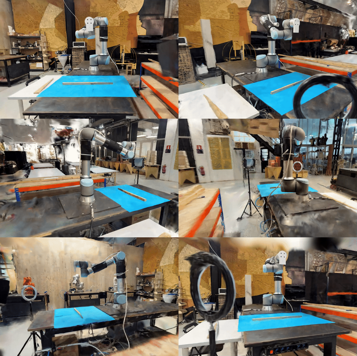
“Fibernetics: Bridging Kinetic Architecture with Cybernetics for Adaptive Spatial Configurations”

Abstract: Architectural space has been non responsive to the dynamic and changing nature of social interaction. Building on the history of responsive architecture, interactive design principles and technological developments in sensing, processing and actuation, the project proposes a new model that merges kinetic architecture and cybernetics. Creating adaptive configurations through automated kinetic architectural skeletons, employing … Read more

Arbitration of the Arbitrary

Critical urbanists are empowered by theory, constrained by history, and valued by their ability and will to negotiate opportunities. The powers of theory are defined by Brenner and Roy as that of critical imagination and rejection of definition; contexualized as historically urban and increasingly planetary by Harvey, Brenner, and Schmid; and actualized by Kaika and … Read more

Advanced Computational Tools: A Journey Through Grasshopper

Welcome to the world of advanced computational tools, where we delve into the intricacies of Grasshopper, a graphical algorithm editor tightly integrated with Rhino’s 3-D modeling tools. This blog post will guide you through the learning process, focusing on the fundamental aspects of Grasshopper and logical representations. Grasshopper Fundamentals Grasshopper is a powerful tool that … Read more

Coding Nature

Investigating the Impact of Open Green Spaces on Airbnb Rates with Python 1. Introduction The industry of tourism in Barcelona has seen a major hike in the past couple years. Post-covid Barcelona has also become an educational hub for students from across the globe. The increase in Inflow of people has also made platform urbanism … Read more

The CourtForge

Enlarging the great… Emanuel Ginobili is one of the most -if not the most- accomplished Argentinian basketball players. During his 16 season basketball career in the NBA, that went on from 2002 to 2018, he won 4 championships as one of the San Antonio Spurs “Big Three”, was named an All-Star twice, was selected for … Read more

An Encounter with a Passage

1. Introduction In the exploration of urban design and its impact on community well-being, “An Encounter with a Passage” delves into the heart of participatory design. This project revolves around the central question of integrating green spaces in urban settings, not just as an aesthetic feature but as a core element of community identity and … Read more

Visualizing GeoSpatial Data in Python – Going from Csv to Graph

Visualizing dataframes using Geopandas and Plotly in Python introduction Python is a versatile and easy-to-learn programming language. GeoPandas extends the data manipulation capabilities of pandas to spatial data, providing a familiar and convenient environment for working with both tabular and geographical data. GeoPandas makes it easy to load, explore, and analyze geographical data. You can … Read more

Visualizing data using Python

Using python as a digital tool to visualize and arrange datasets; trying to view household costs by accumulating various costs per week. Using the dataset and visualizing the various indices and topics of concern and further pointing out the accumulated average cost of all expenses in a household. Further visualizing the desired data as plotting … Read more

Navigating GeoPandas and the Digital Wilderness

“Start the machine” …was the first operation in mind when asked to perform a task with Python script. One of the motivations to learn Python as an urban designer is to organize geospatial data with accuracy and legibility. Before we dive into the digital wilderness, of data trees and data frames, it’s important to note … Read more

Data Visualization Using GeoPandas in Python

1.Geospatial Mapping using GeoPandas in Python In Python, GeoPandas plays a crucial role in facilitating geospatial analysis through its powerful functions. I will illustrate the concise process of leveraging GeoPandas to create maps of Barcelona. This involves a systematic application of GeoPandas’ functions for effective geospatial data synthesis and mapping. Step 1: Loading GeoDataFrame from … Read more

LA CREMADA

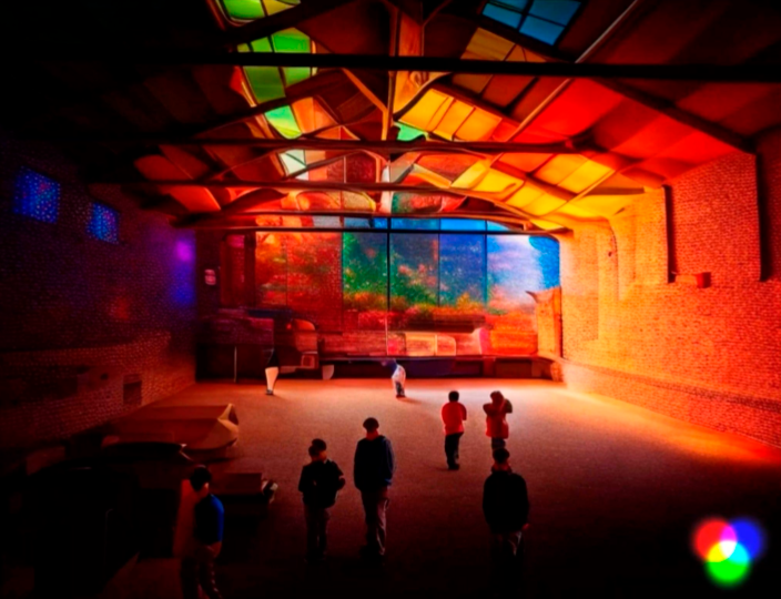
The second year students of Master in Advanced Architecture (MAA) and Master in Robotics and Advanced Construction (MRAC) participate in Llum BCN 2024 with LA CREMADA / THE BURN, an immersive interactive installation that delves deep into the world of wildfires, their origins, impacts, and the critical need for understanding and prevention. The installation, located at Plaça Les Arts, C/ … Read more

Slo-Mo-Go: Tourism in Slow Motion

A digital tool proposed to re-boost the economy of Ciutat Vella, Barcelona Overview Ciutat Vella being the oldest district of the city of Barcelona was founded in the 1500 BC. The Ciutat Vella district was a very important economic hub for Barcelona. But in the recent times, the district faces problems that are characterised by … Read more

Urban Pollution Mapper

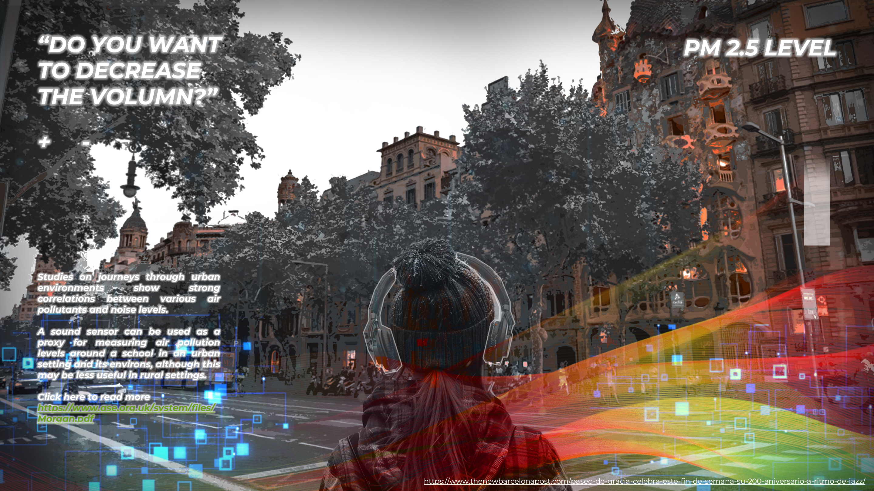
CONCEPT The project was designed to be an urban furniture that maps the city’s pollutions: air pollution and sound pollution. It is a design installation that aims social awareness regarding the environment people are exposed to in big and busy city centers. The benches’ side lights, triggered by the air quality sensor, are always on, … Read more

Exploring the Hydrography of the Besos River

Understanding Surface Water Dynamics : Analysing Besos River Runoff, Accumulation, and Water Levels. The Besos River, flowing through Catalonia, Spain, is a significant water body supporting both ecosystems and human activities. Its hydrology plays a pivotal role in the regional environment and socioeconomic landscape. The dynamics of surface water runoff, accumulation, and water levels in … Read more