Darien: Closing the data Gap
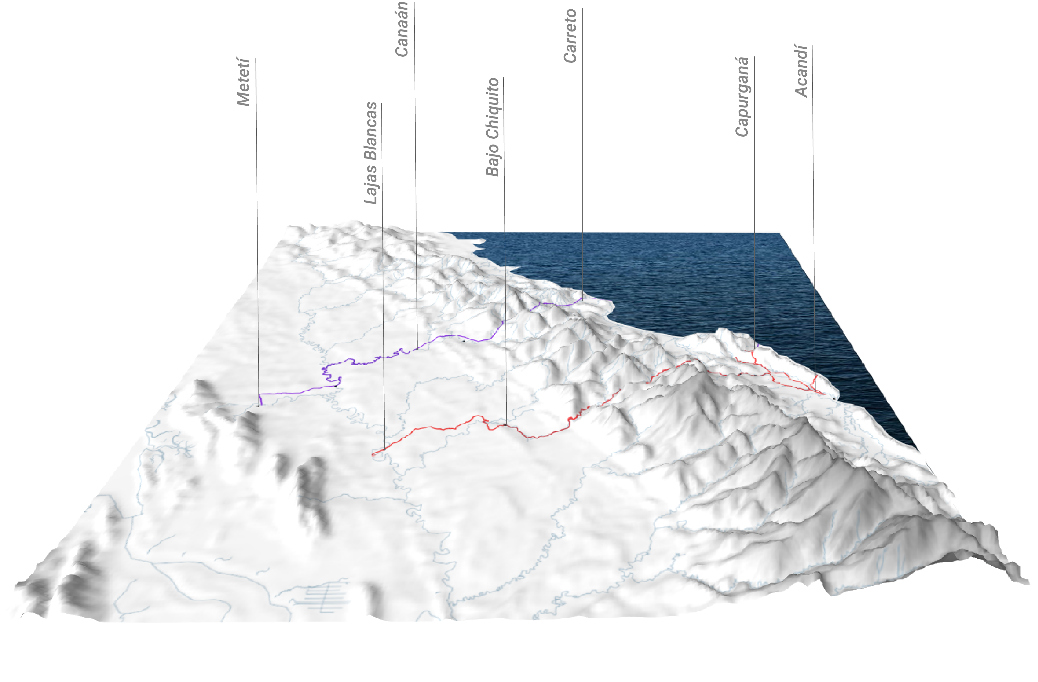
Imagine a massive highway stretching from Alaska all the way down to the tip of Argentina. That’s almost possible through the Pan-American Highway, except for one crucial interruption: the Darien Gap. The Darien Gap is a sprawling, dense jungle separating Panama and Colombia, an obstacle that breaks the otherwise continuous highway. But the Gap isn’t … Read more