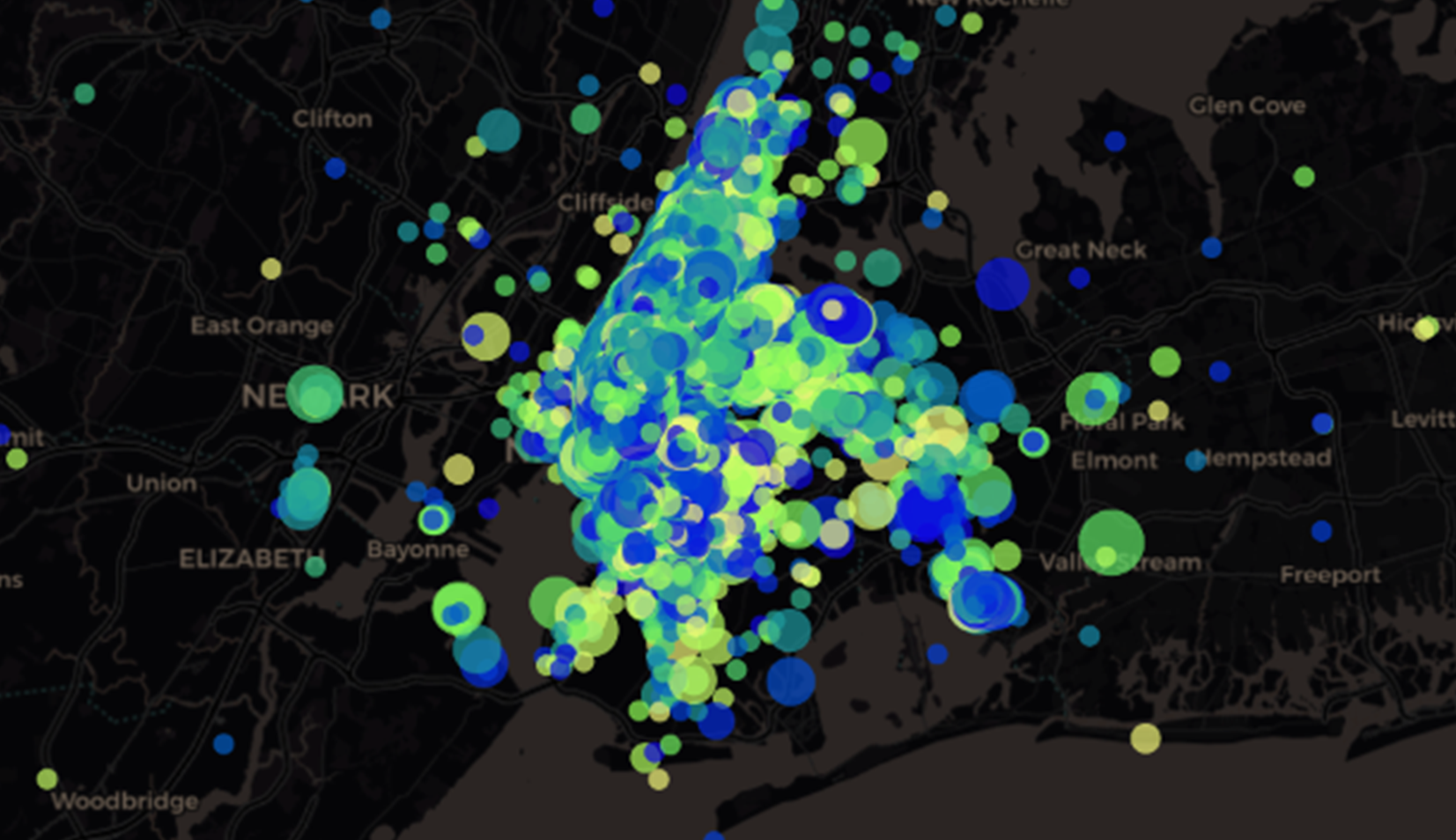
Street sounds of Barcelona
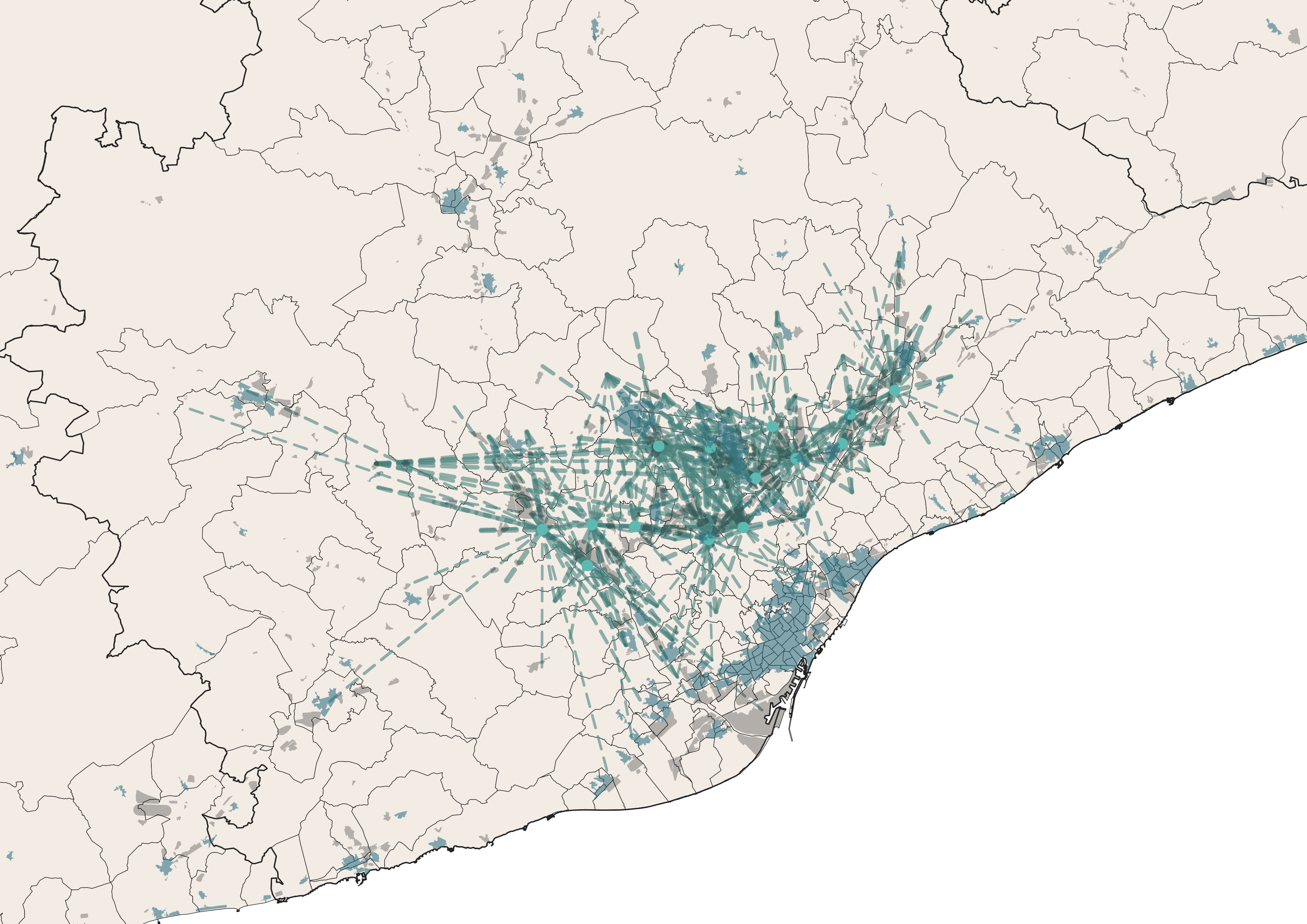
– 00– The project aims to analyze the sounds of streets in Barcelona, cluster them and compare. Firstly, a table of sound types evaluation is created. It consists of point data, network data and sound intensity data. – 01– The methodology and analysis of street segments is based on 1 dataset, that was combined using … Read more