
The MaCAD is a unique online programme training a new generation of architects, engineers and designers ready to develop skills into the latest softwares, computational tools, BIM technologies and AI towards innovation for the Architecture, Engineering and Construction (AEC) industry.

inHabit – Rethinking Residential Layout Search with Spatial Intelligence
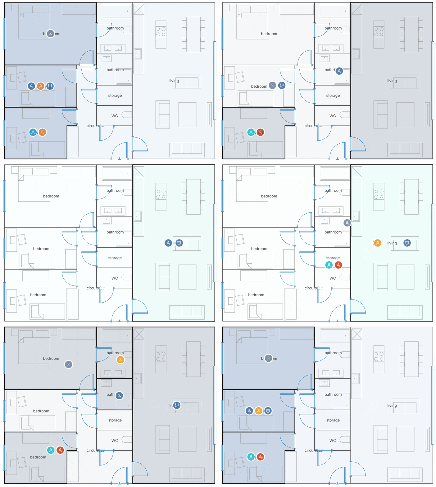
Introduction Finding the right home isn’t just about square meters or the number of bedrooms. A floor plan that works beautifully for one household can be completely unsuitable for another. Parents with young children, remote workers, retirees, or pet owners all experience the same space differently. Yet today’s search tools still rely on simple filters … Read more
Sensi: Making Comfort a Design Layer
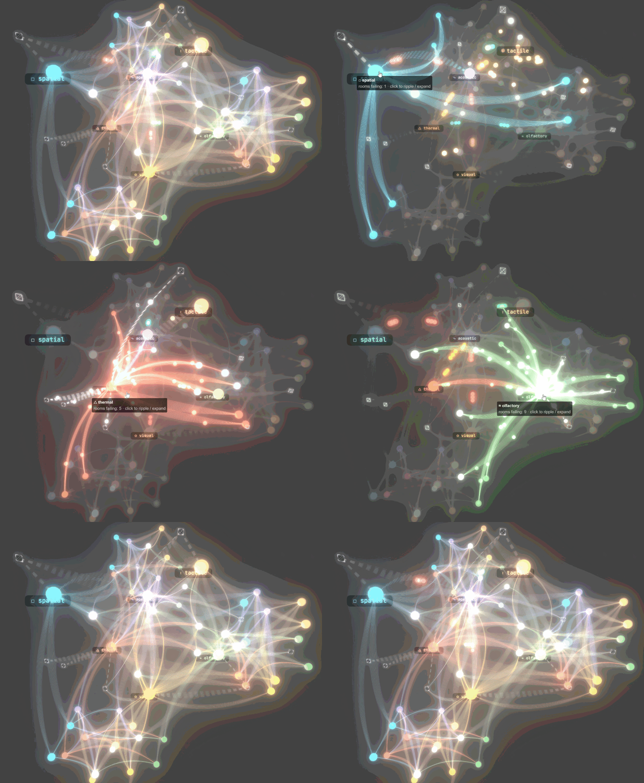
Building Sensi, a sensory copilot for architectural floor plans. In architecture, we model everything. Structure, cost, energy, code compliance. Layer after layer of analysis that makes a building accountable before it’s built. But one thing was missing from the stack: how the space will actually feel. Not feel as in emotion. Feel as in the … Read more
PermanenceOS

Every design decision has a structure. For the AI studio seminar, we built PermanenceOS , a structural intelligence platform that helps architects understand the consequences of early design decisions, before they get expensive to change. The Core Problem In early design, structural decisions get locked in fast and by the time the engineer is brought … Read more
PlanWise: Spatial Cost Copilot
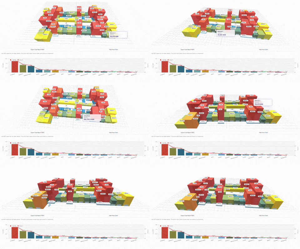
In the traditional Architecture, Engineering, and Construction (AEC) industry, there is a painful disconnect between the creation of geometry and the calculation of its cost. Architects design in spatial environments (CAD, BIM), while Quantity Surveyors and estimators work in abstract spreadsheets. The result? Budget overruns are usually discovered weeks after a design phase concludes, leading … Read more
Designing for Encounter: How Spatial Analysis Reveals the Social Potential of Circulation Spaces

Introduction When we imagine a corridor in a typical apartment building, we picture a purely functional passageway — a space designed for movement, not for meeting. These circulation zones are often long, narrow, and socially inert. Yet they structure much of our daily experience of housing, shaping how residents encounter one another. Cohousing projects show … Read more
Brownstones
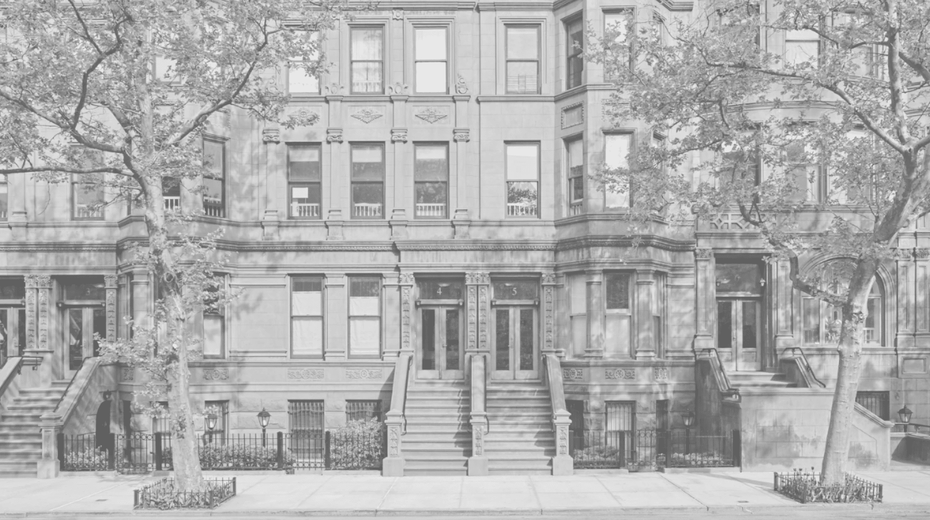
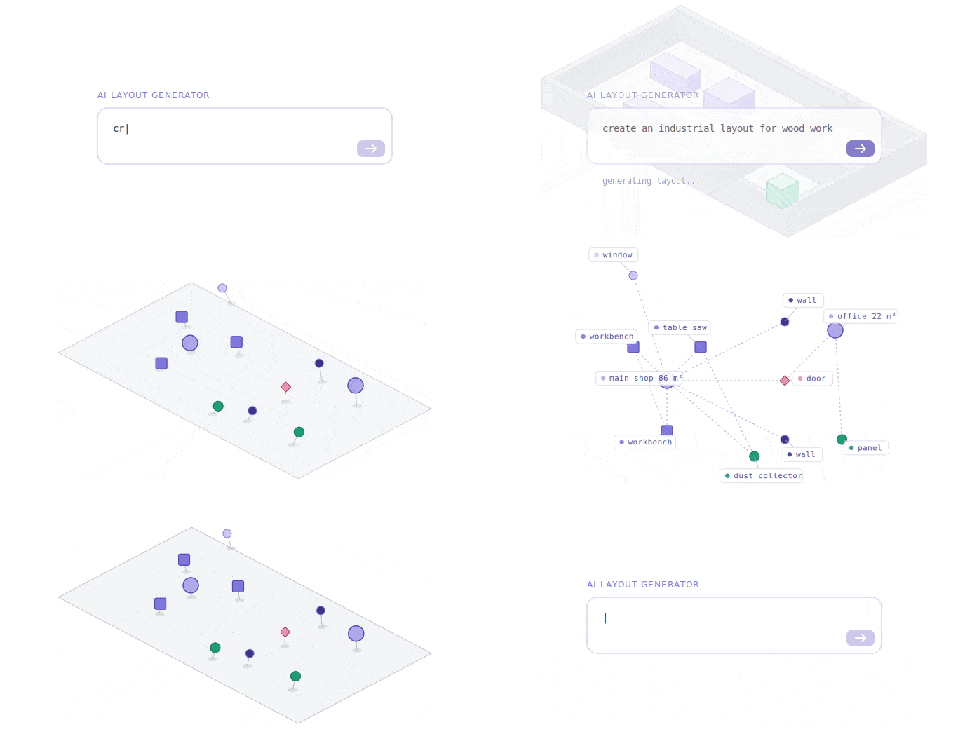
For the Graph Machine Learning (ML) seminar we took a classic New York brownstone and asked how graph ML can read the way a building is organized, and what happens when that organization changes. Objective: Our goal was to model an old and a new brownstone layout as spatial graphs in TopologicPy, compare how the … Read more
Analyzing Narkomfin Through Its Graph

The building The Narkomfin Building was completed in 1930 in Moscow, designed by Moisei Ginzburg and Ignaty Milinis. It is one of the most recognized examples of Soviet Constructivist housing — a dom-kommuna, or communal house. The design was deliberately unconventional: kitchens were minimal because residents were expected to eat in a shared canteen, and living … Read more
Crafty Studio
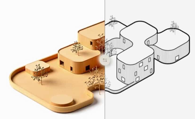
Every great building begins as a small model and a messy desk Abstract As architects we spend hours making physical study models, cutting foam, assembling balsa, running the 3D printer. These models are essential, but the process is slow. Crafty Studio asks a simple question: “What if you could see your design as a physical … Read more
Encoding Urban Risk: Spatial Feature Analysis and Assessment

Can Street Geometry Predict Urban Safety Risk? A machine-learning pipeline that classifies street morphology into risk typologies — from OpenStreetMap features to multi-city deployment, dead ends included. This post documents the full arc of our Urban Safety project — not just the results, but the reasoning, the wrong turns, and what we learned from them. … Read more
IsleVibe

Mediterranean islands are crushed by tourism in July and August, and almost empty the rest of the year. So we asked what if generative AI could show people the ten months that already exist beyond those two? The goal was to make the off-season feel desirable, not as data, but as images you’d actually want … Read more
Vitru.views – See Cities at Human Scale
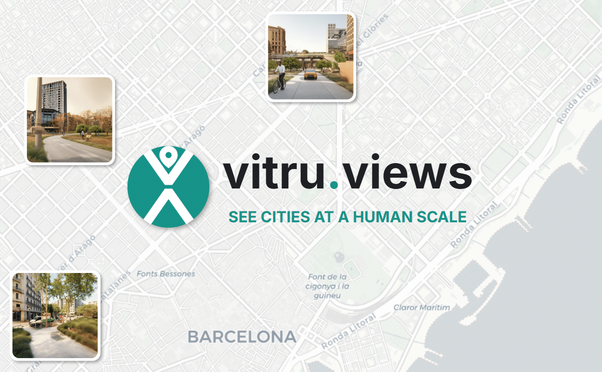
Our cities have long been shaped around cars — wide roads, narrow sidewalks, and green spaces replaced by parking lots. Cars have quietly become the measure of how we design our streets. But what if cities were designed for people instead? As Fred Polak wrote in Images of the Future, the act of visualizing possible … Read more
NoiseXcape: Can Open Data Help Us Predict Urban Noise?

Introduction Noise is one of the most pervasive environmental stressors in cities. Long-term exposure has been linked to sleep disturbance, cardiovascular disease, reduced cognitive performance, and lower overall quality of life. Yet despite its importance, detailed noise maps are surprisingly difficult to obtain. Producing official noise maps requires measurements, traffic models, and considerable technical effort. … Read more
FloodPrint
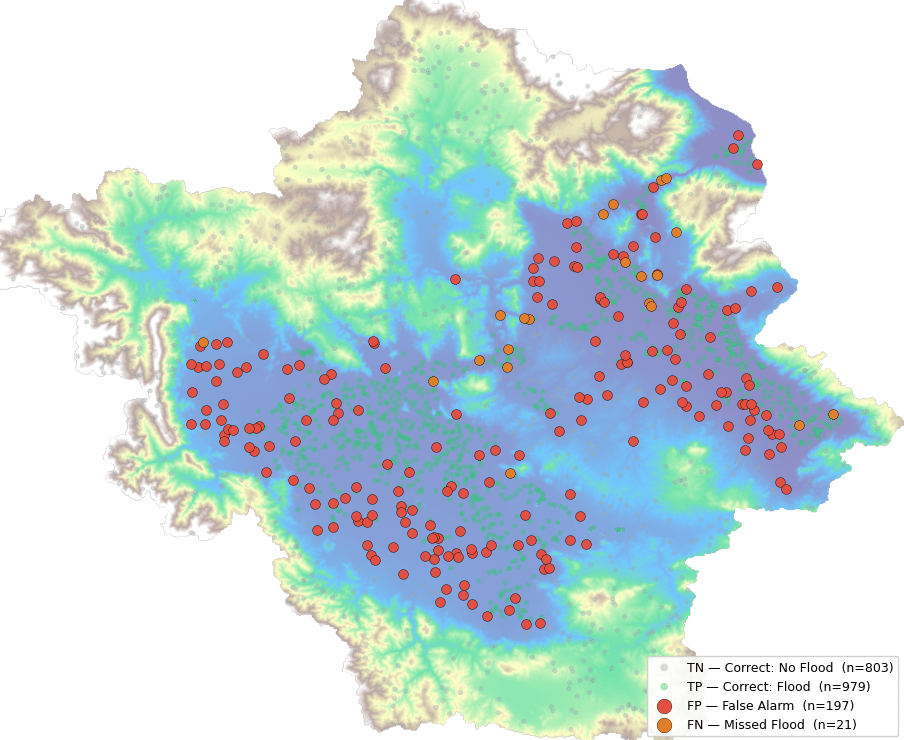
Objective Traditional flood risk maps take months to produce, are updated only every few years, and are too coarse, they might say a whole district is at risk without telling you which specific street or field will actually be underwater. “We are going to predict whether any given location in Thessaly, Greece is Flood-Prone or … Read more
NYC – Urban Land Use
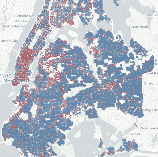
Can we predict what kind of use does a city grid hosts — Commercial vs. Residential — from its built form, morphology, and proximity to other urban features? “Can we predict the land use of a space based on existing environmental information from official and unofficial sources?” What’s the sweet spot for a Machine Learning … Read more
