Intervening Carbon
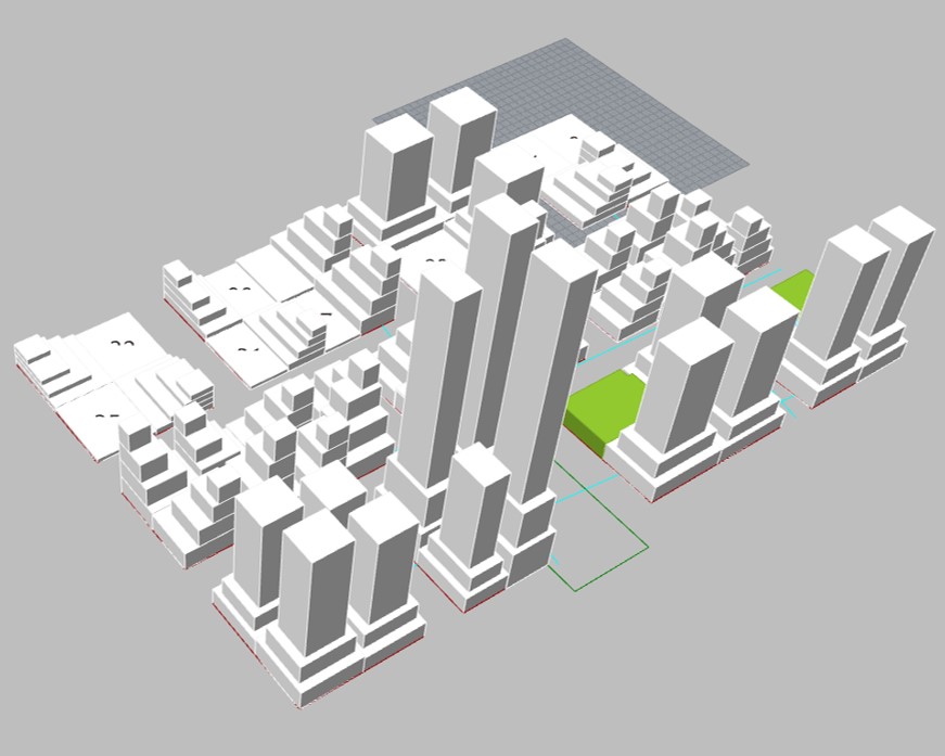
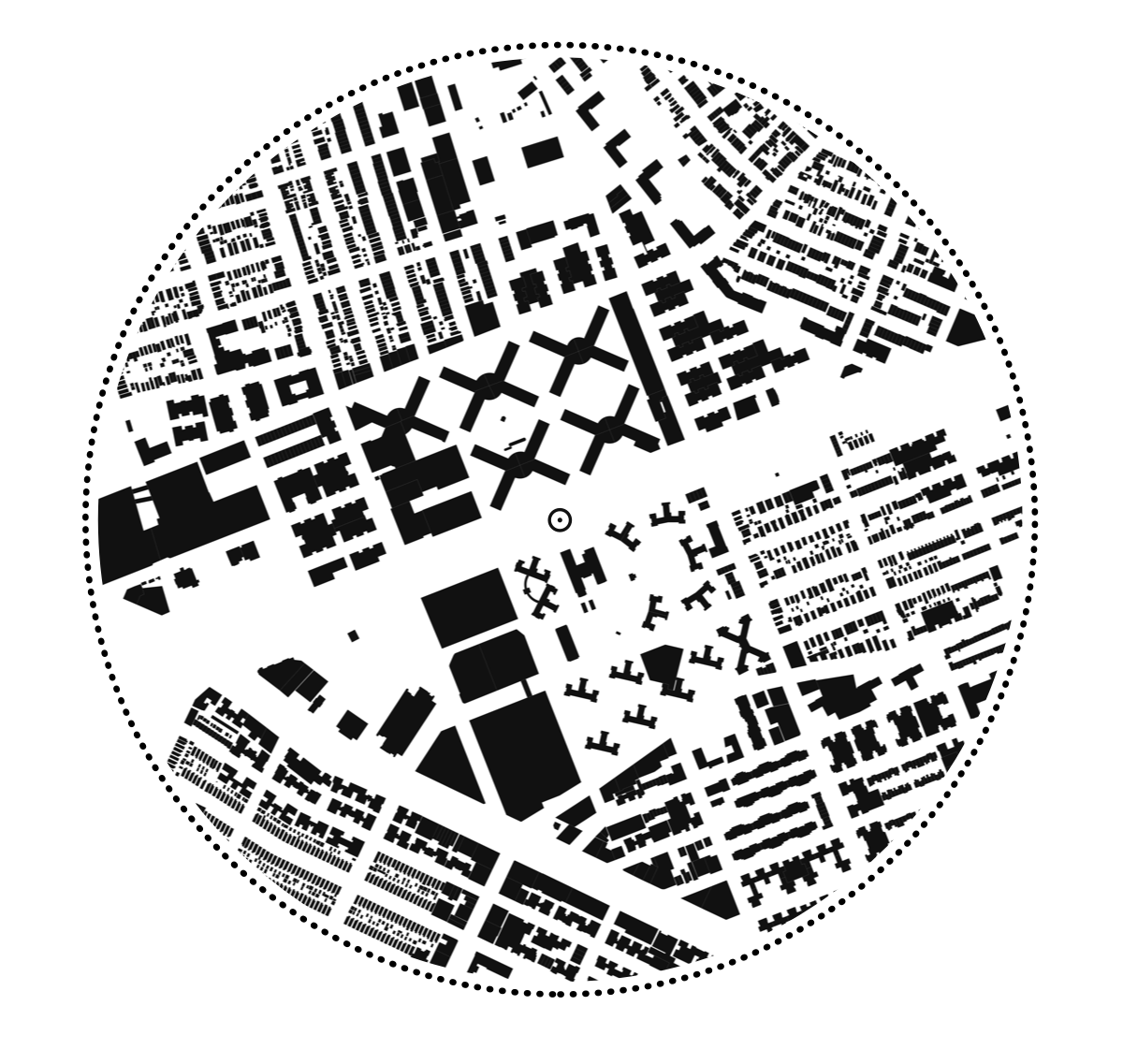
Carbon Based Design | Designing Circularity in the Built Environment SITE EXISITING WAREHOUSE POINT CLOUD MODEL Material Flow Analysis PROPOSAL

Carbon Based Design | Designing Circularity in the Built Environment SITE EXISITING WAREHOUSE POINT CLOUD MODEL Material Flow Analysis PROPOSAL
In the rapidly urbanizing landscape of Singapore, the demand for innovative urban planning solutions is paramount to accommodating the growing population while preserving the city-state’s unique cultural and environmental heritage. This project proposes an exploration of a playful design methodology to devise novel urban block typologies tailored to Singapore’s specific needs and constraints. This research … Read more
01 Reading as Urban InsightIn a rapidly urbanizing world, the ability to read critically across diverse mediums—both digital and print—serves as an indispensable tool for interpreting the complexities of urban theory. Techniques like HYPERREADING, which facilitates navigation through vast digital information, and CLOSE READING, which emphasizes deep textual analysis, are crucial for decoding the nuanced … Read more
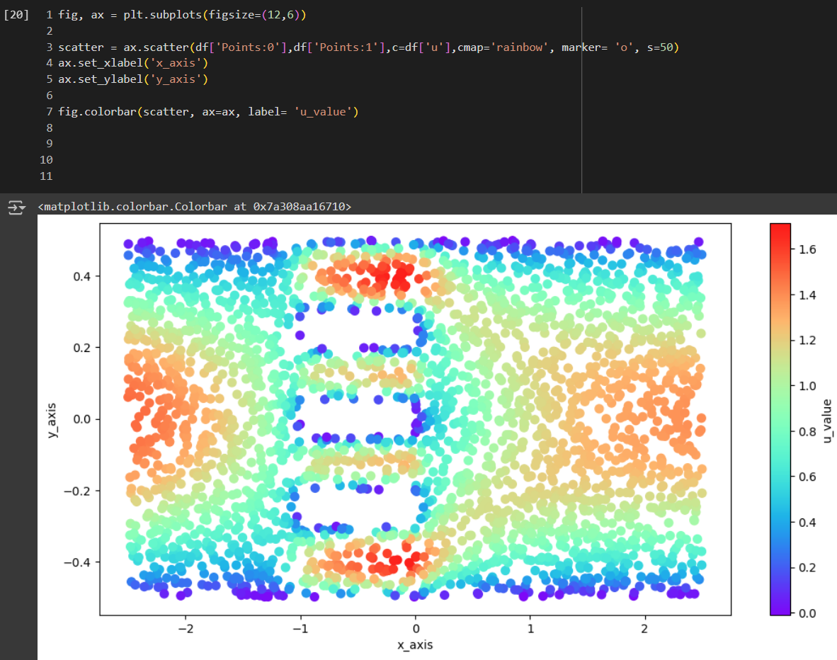
Overview PaperLink WIP – This study specifically explores Physics-Informed Neural Networks (PINNs) and Computational Fluid Dynamics (CFD) to analyze pedestrian wind comfort. It aims to integrate these neural network models into a web application using Three.js and other tools. By utilizing data from OpenWeatherMap, and OpenStreetMap, the project aims to support real-time simulations and visualizations … Read more
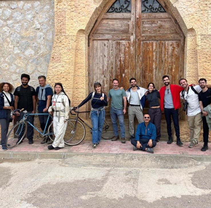
During a week, 10 students from MAEBB, MAA, MaCT and MDEF got together as part of the Ecological Interactions class, that took part at the village at Benifallet, placed by the Ebro River. During this period, the students got in touch with the faculty’s land in order to come up with analysis, thoughts and solutions … Read more

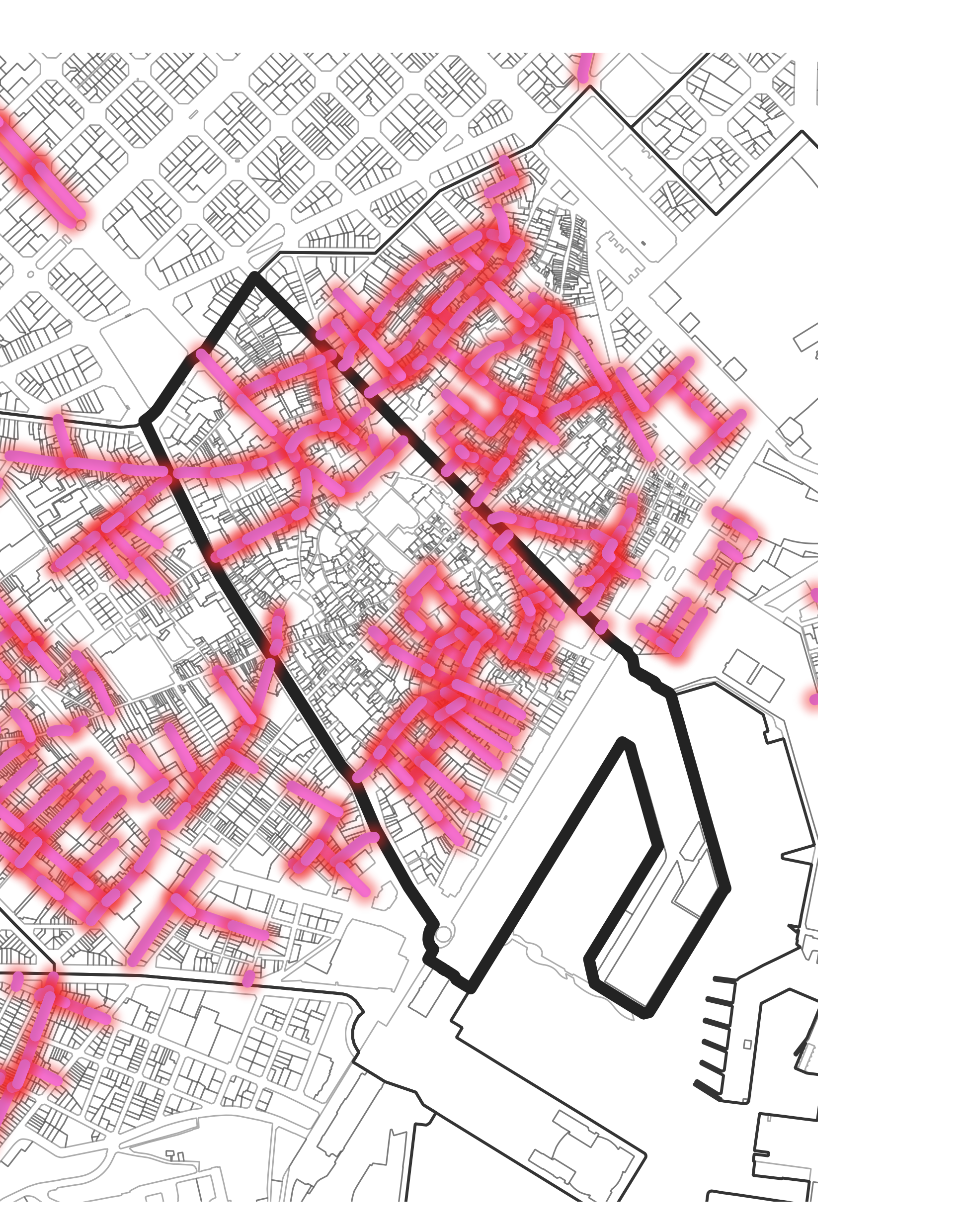
Abstract Flows 4 Santa Coloma is a project in the city of Santa Coloma, taking into consideration the Pla Pinta Verde proposed by the municipality of Santa Coloma. The project aims are aligned with the aims of the Pla Pinta Verde of connecting the existing green spaces to bridge the gap created because of the … Read more

Research Questions: Can climate sensitive facade interventions reduce the intensity of the Urban Heat Island effect within urban blocks in arid climates?“ Research Goal: The goal is to propose simplified, climate-sensitive facade interventions in highly urbanized cities that reduce energy loads by mitigating Urban Heat Island (UHI) effects, while complying with climate-resilient regulations. These interventions … Read more
Located in the heart of Barcelona, where the history of the city began, the Gòtic Quarter is an iconic neighborhood, we sought to understand its complex dynamics and whether its economic model could truly be called sustainable. From Roman foundations to bustling contemporary streets, the Gòtic Quarter embodies a story of transformation. But behind its … Read more
The week of Teche 01 workshop focused on introducing students and part of the research team in the landscape of Valldaura. The team was in charge of gathering soil samples from different areas of the forest campus in order to compare different behaviors of the soil. Through a series of tests , each group showed … Read more
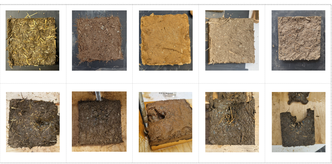
ReCitying is a Workshop hosted by IAAC and Parc Agrari del Baix Llobregat to explore sustainable design and creative recycling in rural spaces. The first phase of the Workshop, in October 2024, focused on developing proposals for an installation using waste from Parc Agrari and planting crops to integrate into the project. We explored initial … Read more
Our research on the El Raval neighborhood explored the tensions and opportunities between residents and tourists, two populations who travel from all over the world to be in El Raval. While tourists and residents can have conflicting priorities and demands of their environment, the two are also dependent on each other and we came upon … Read more
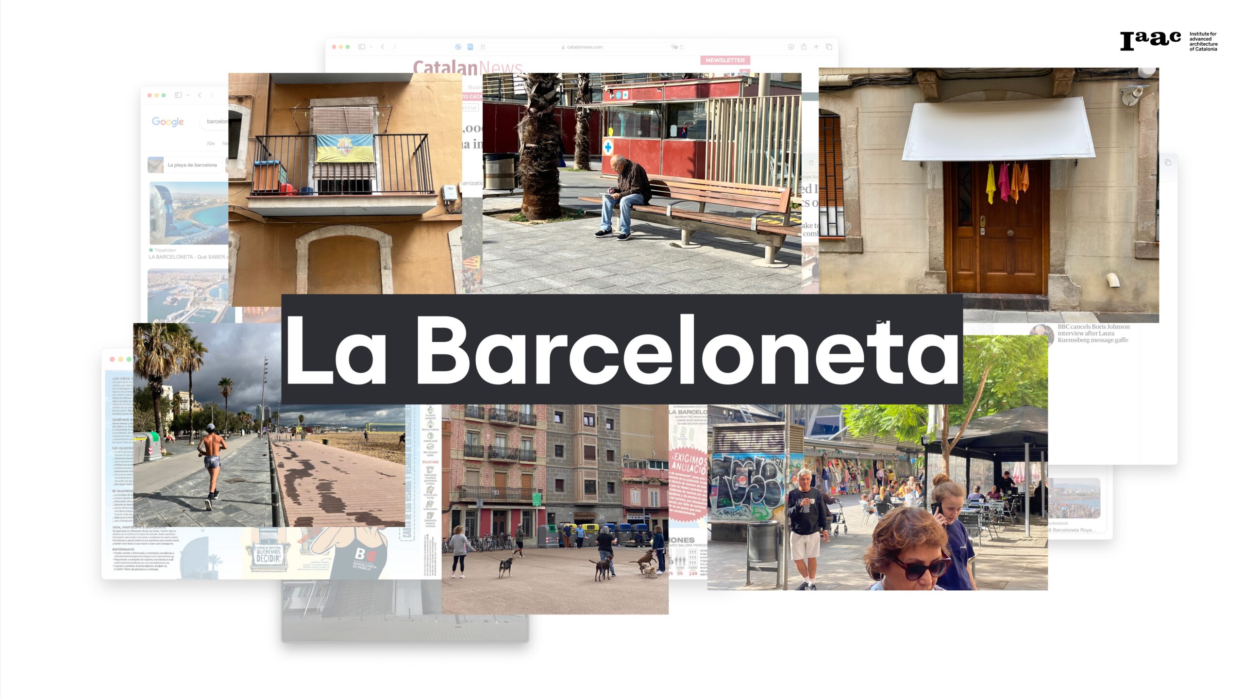
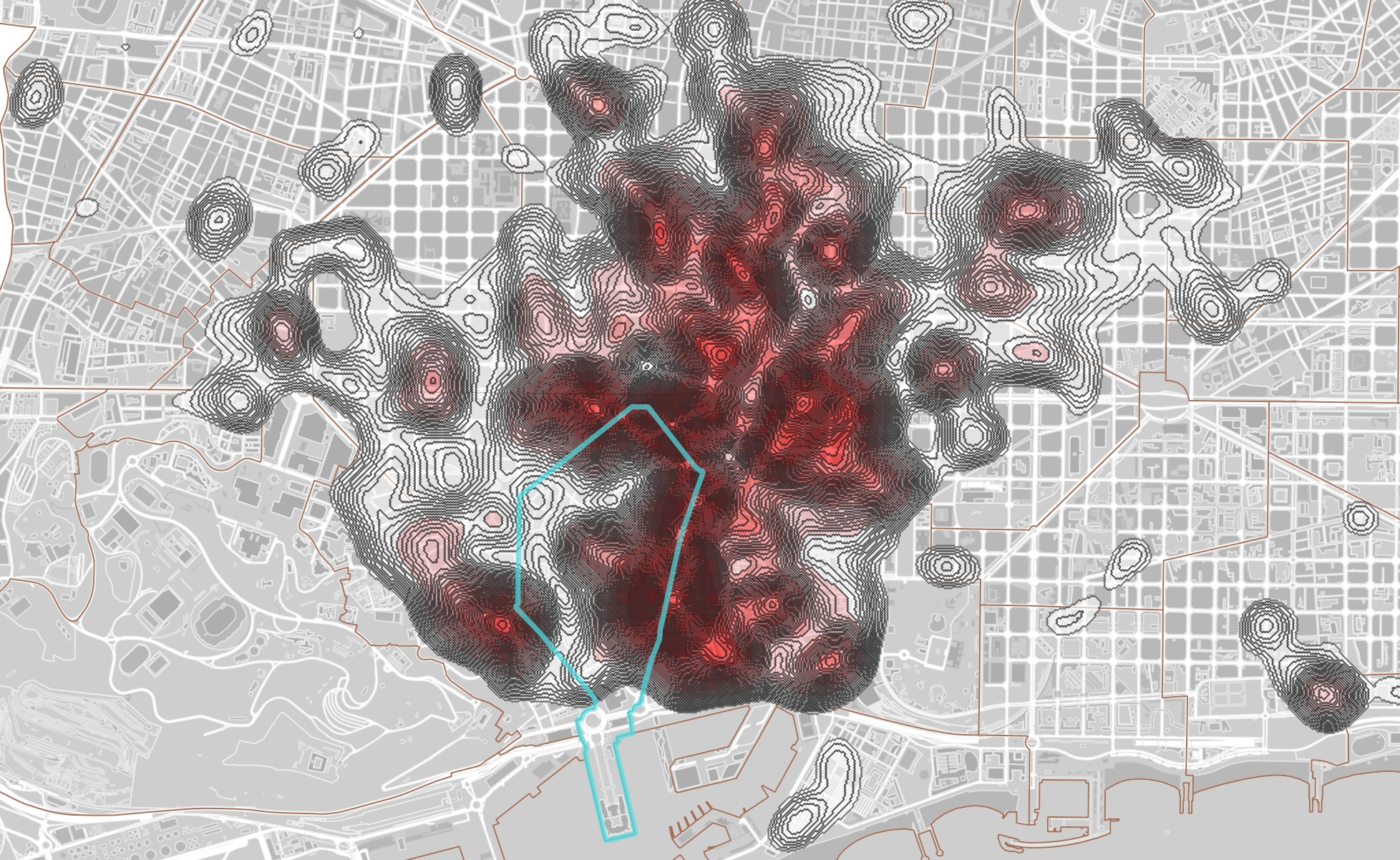
As part of the Master in City & Technology Introductory Workshop, our team was tasked with studying La Barceloneta, a district characterized by its complex layers of social, economic, architectural, and administrative systems. This project aims to explore these dimensions, highlighting the interactions between tourism and the local community in one of Barcelona’s most iconic … Read more
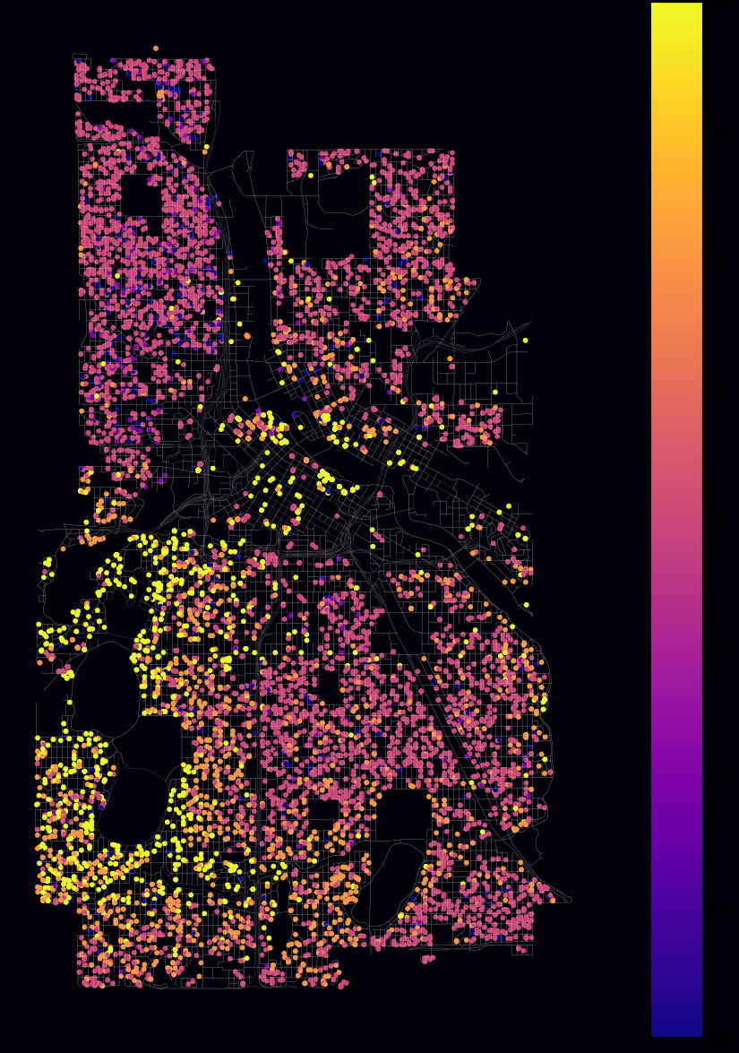
1.0 Concept In the evolving landscape of urban development, property rates are influenced by numerous factors, including geographical, socio-economic, and infrastructural elements. Our project, “Urban Insights: Leveraging Open Data for Smart Property Rate Predictions,” aims to create an intelligent, data-driven model to forecast property rates. This model utilizes features such as wards, property types, and … Read more
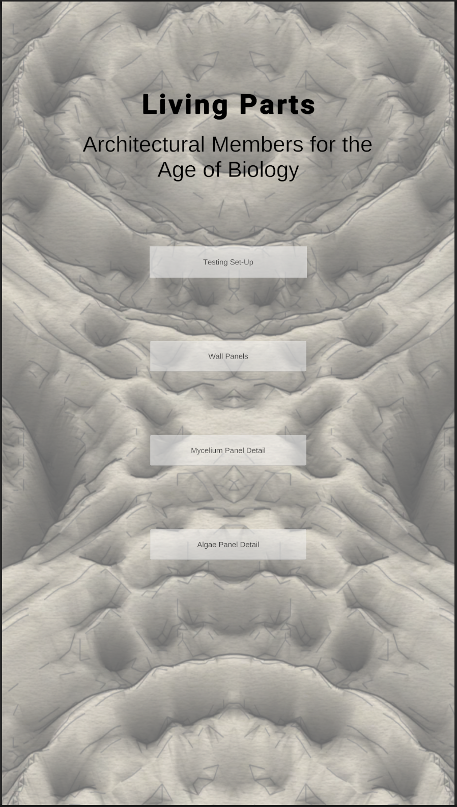
This studio explores the possibility of using AR in architecture with Unity. Living parts is a thesis focusing on the use of Biomaterials in Architectural Elements to sequester environmental carbon dioxide. Unity is used here to map the data from the CO2 sensor to Unity and see the data collected with the help of a … Read more
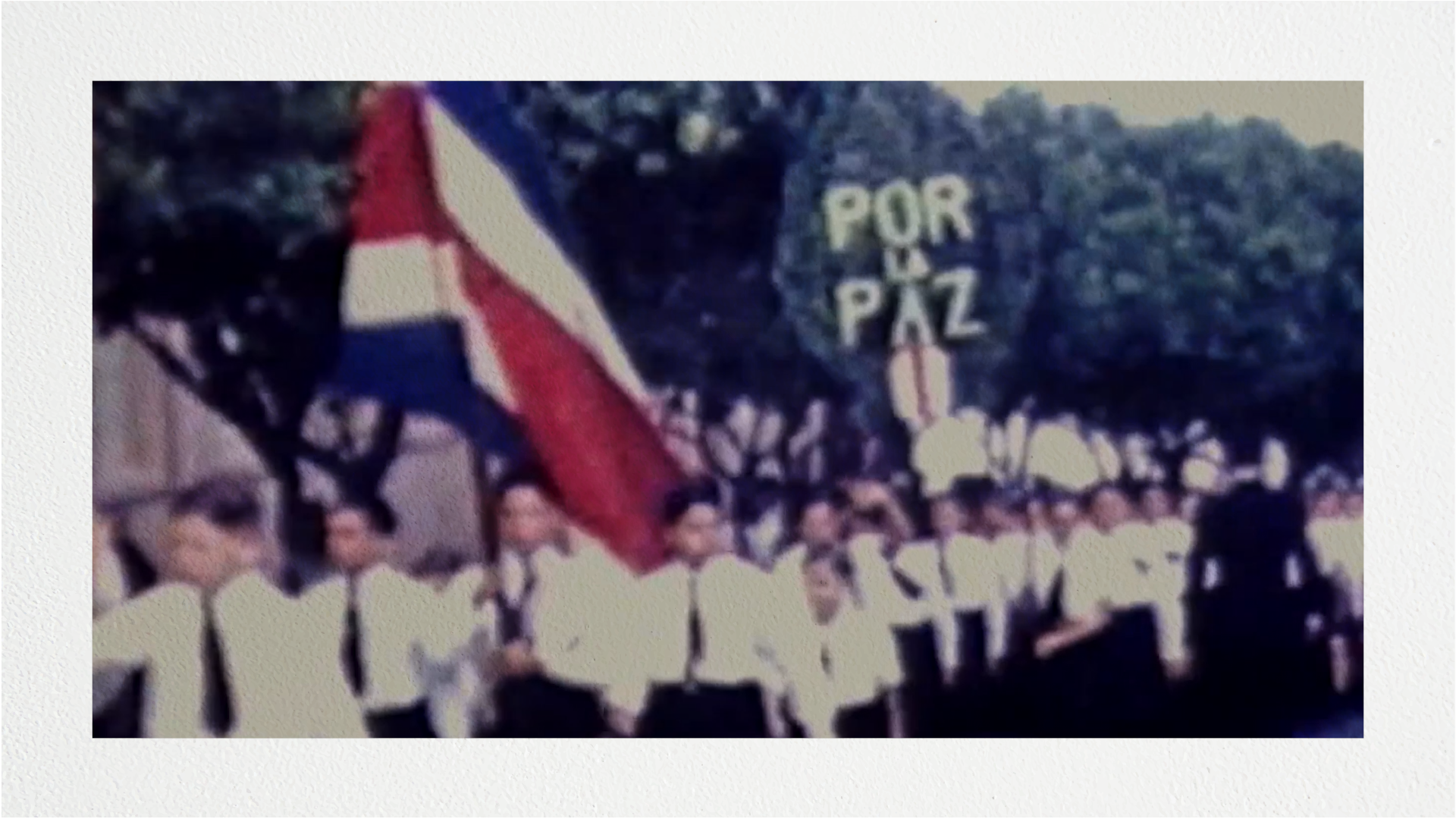
La formulación de la paz es imposible para el consenso de las masas actuales. Esta misma perspectiva es igualmente negativa en el país que inició el desarme de sus tropas después de la dolorosa II Guerra Mundial y una sangrienta Guerra Civil en 1948, esta es Costa Rica. Una utopía en las américas, una deformada … Read more
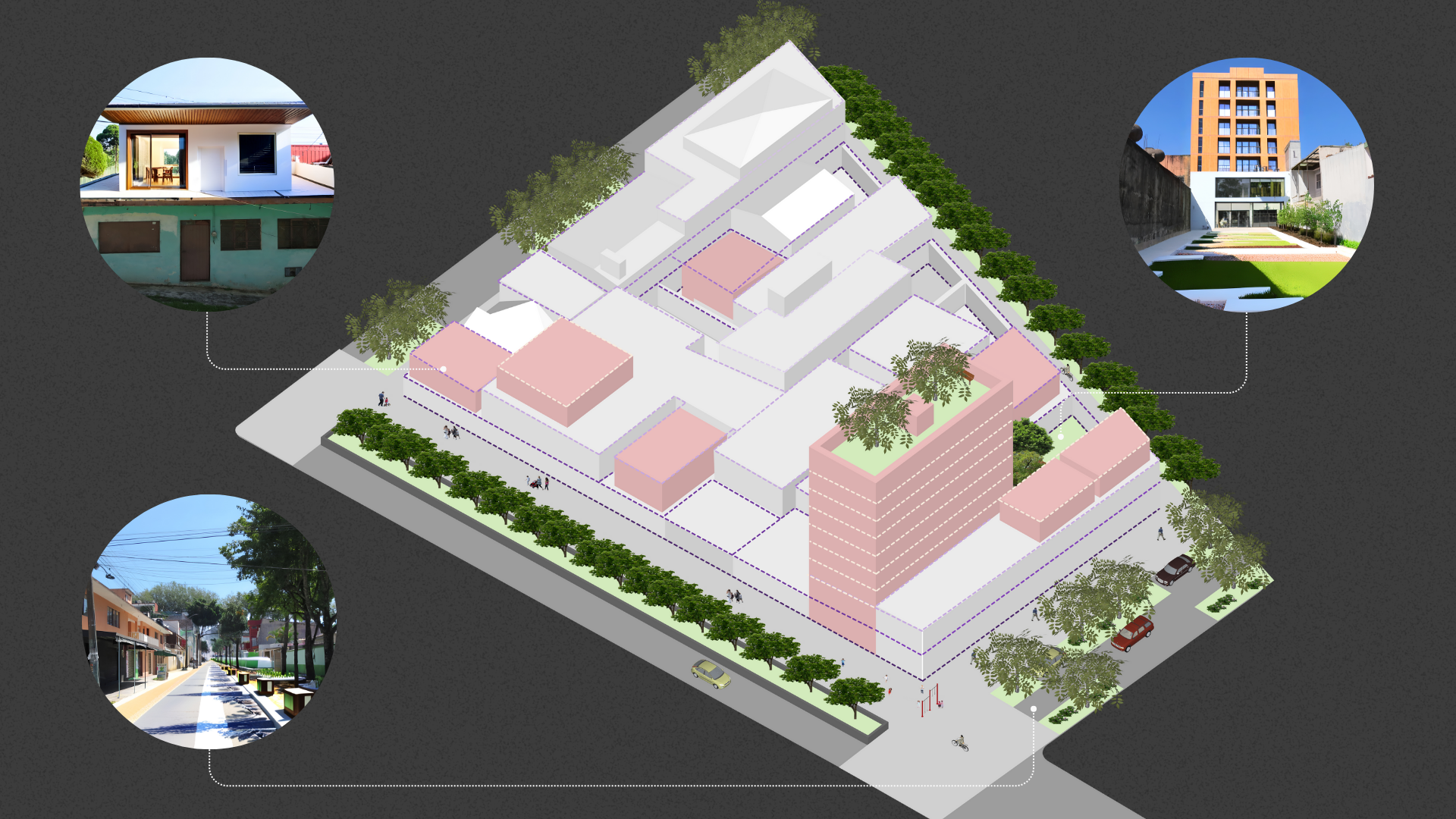
Introducción La ciudad se expande territorialmente y pierde población en su núcleo consolidado. La oferta de vivienda nueva, y particularmente la de Interés Social, existe predominantemente en la periferia, donde hay un déficit de servicios básicos, fuentes de empleo, y accesibilidad. Esto contribuye al deterioro ambiental, agrava los problemas de movilidad y ejerce presiones financieras … Read more
