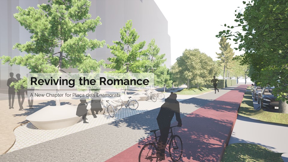
Carrer d’Aragó: A place to stay
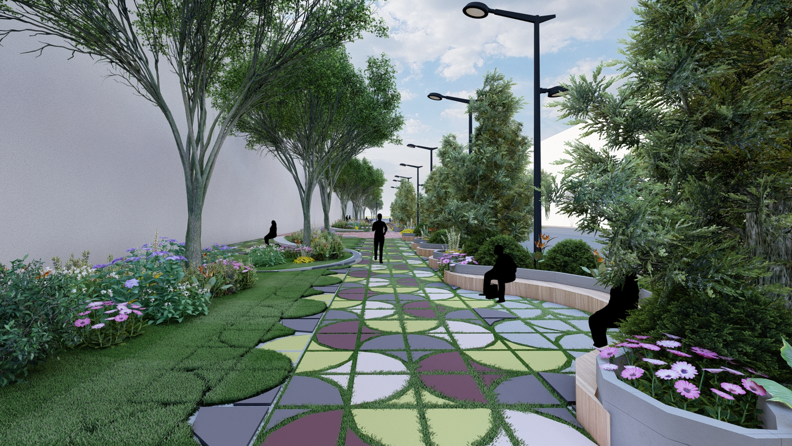
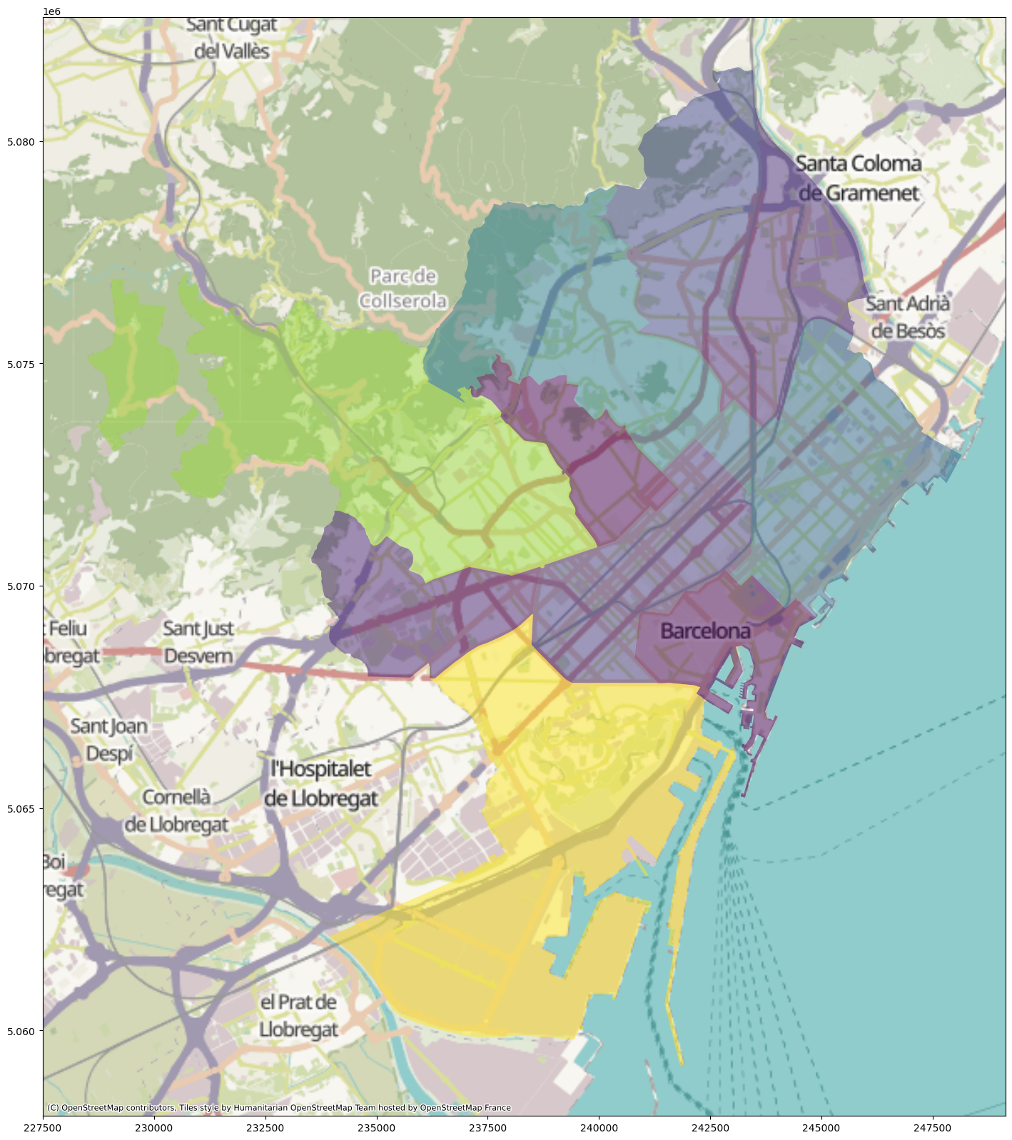
Introduction Carrer d’Aragó is one of the busiest streets in Barcelona. With 4 car lanes and 1 bike lane, it receives thousands of vehicles every day, making it a center for noise and pollution. Additionally, it is home for a very diverse community and it’s located close to some of the most popular tourist spots … Read more