Democratized design to combat climate catastrophe.

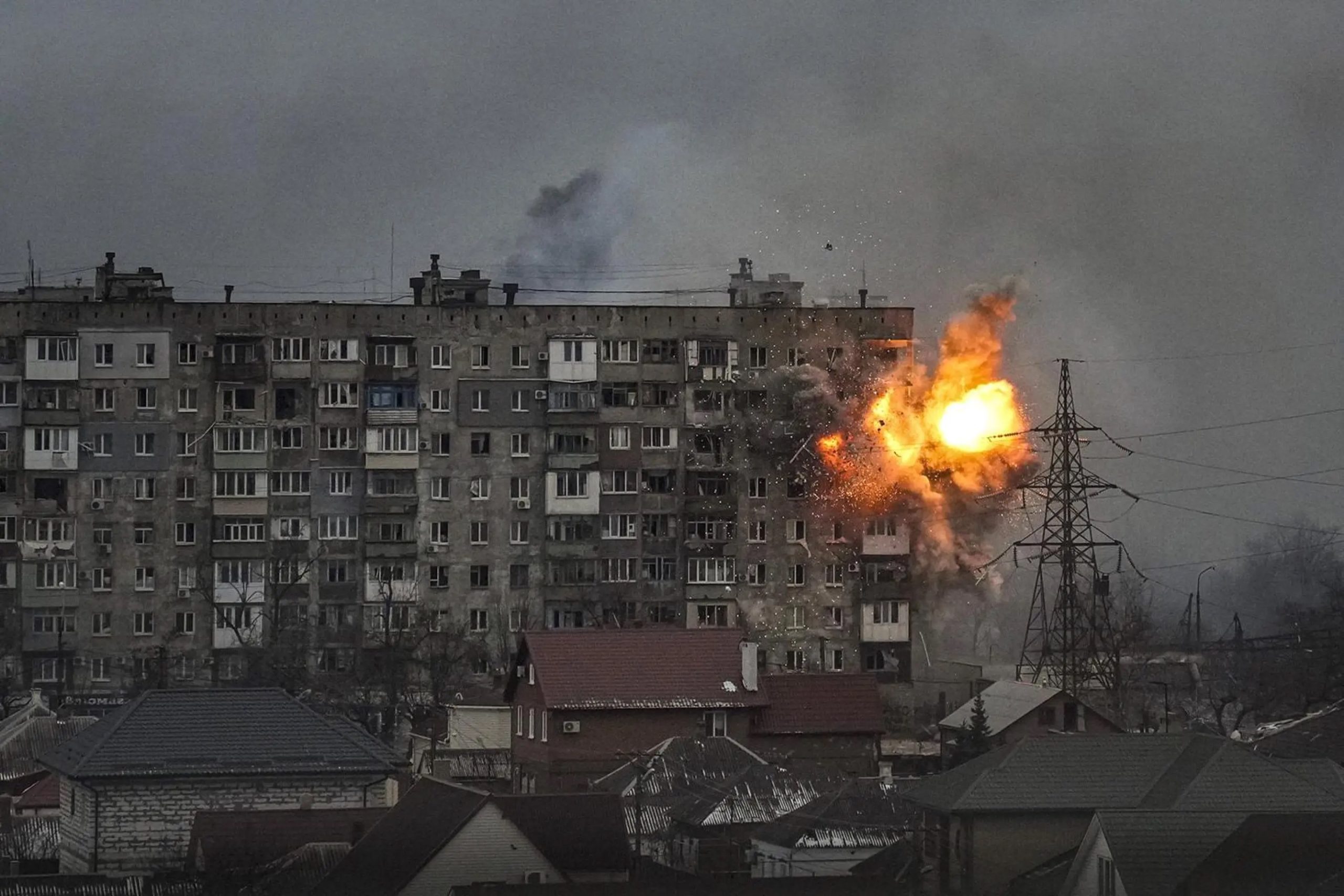
As we move further into the 21st century, our chances of averting climate change have all but disappeared. Analysis shows that global temperatures now sit 1.1? above pre-industrial levels and are set to rise to 1.5? by the early 2030s (Jotzo and Howden, 2023). This rapid increase in temperatures has led to loss of land … Read more