The Master in City & Technology’s academic structure is based on IAAC’s innovative, learn-by-doing and design-through-research methodology which focuses on the development of interdisciplinary skills. During the Master in City & Technology students will have the opportunity to be part of a highly international group, including faculty members, researchers, and lecturers, in which they are encouraged to develop collective decision-making processes and materialize their project ideas.

Filters
Course

Visualizing GeoSpatial Data in Python – Going from Csv to Graph

Visualizing dataframes using Geopandas and Plotly in Python introduction Python is a versatile and easy-to-learn programming language. GeoPandas extends the data manipulation capabilities of pandas to spatial data, providing a familiar and convenient environment for working with both tabular and geographical data. GeoPandas makes it easy to load, explore, and analyze geographical data. You can … Read more

Navigating GeoPandas and the Digital Wilderness

“Start the machine” …was the first operation in mind when asked to perform a task with Python script. One of the motivations to learn Python as an urban designer is to organize geospatial data with accuracy and legibility. Before we dive into the digital wilderness, of data trees and data frames, it’s important to note … Read more

From Guest to Spatial Data Analyst

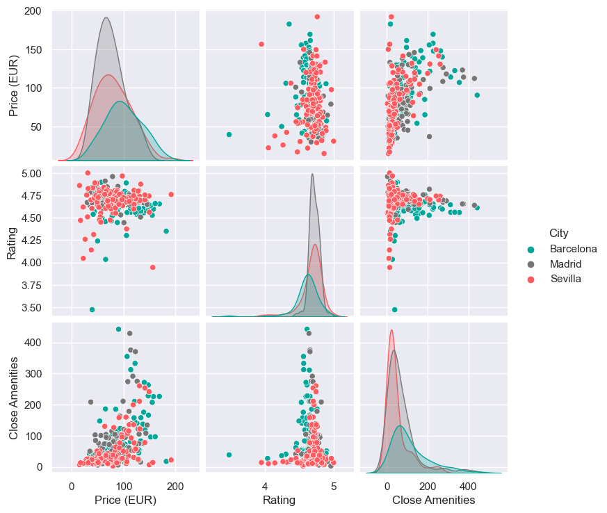
Introduction Airbnb is a well know marketplace that connects people who want to rent out their property with people who are looking for accommodations, typically for short stays (Investopedia, 2023). As a powerful tool to connect people to hospitality supply around the world, and provide them quality spaces to stay, it heavily relies on the … Read more

Data Visualisation using Python

Introduction In today’s data-driven world, the ability to visualize data effectively is a key skill. This blog post introduces the fundamentals of data visualization using Python, a powerhouse in the data science toolkit. We’ll explore essential libraries like GeoPandas, Plotly and Contextily, guiding you through the process of transforming raw data into insightful, visually appealing … Read more

FloodZone Analytics

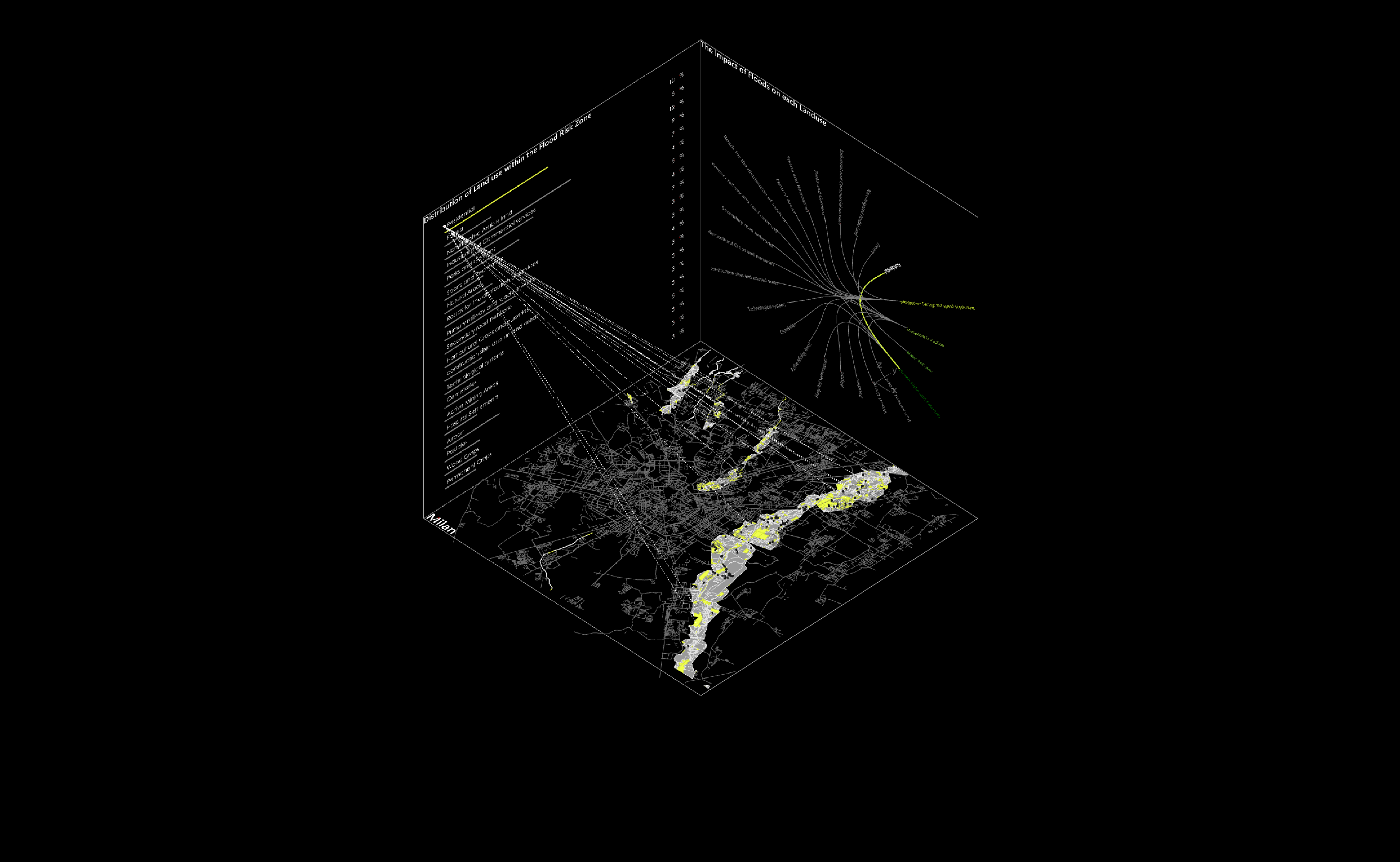
Introduction Water-related disasters, such as floods and droughts, have become increasingly frequent and severe due to climate change, representing significant global challenges. Urbanization and land use changes are contributing factors, with settlements in high flood-risk areas growing. In studying Milan and the Lambro river basin in Northern Italy, we observe increasing frequencies of floods, highlighting … Read more

Visualization of Complex Innovation Data using Python

Innovation is a buzzword these days, and everyone seems to be talking about it. However, truly understanding it is a different ball game. Take the Global Innovation Index by the World Intellectual Property Organization (WIPO), for example. It’s a massive framework that pulls data from top-tier organizations worldwide, scoring countries on 100+ indicators. It’s a … Read more

Cities in Motion

Bogota Public Transport from GTFS

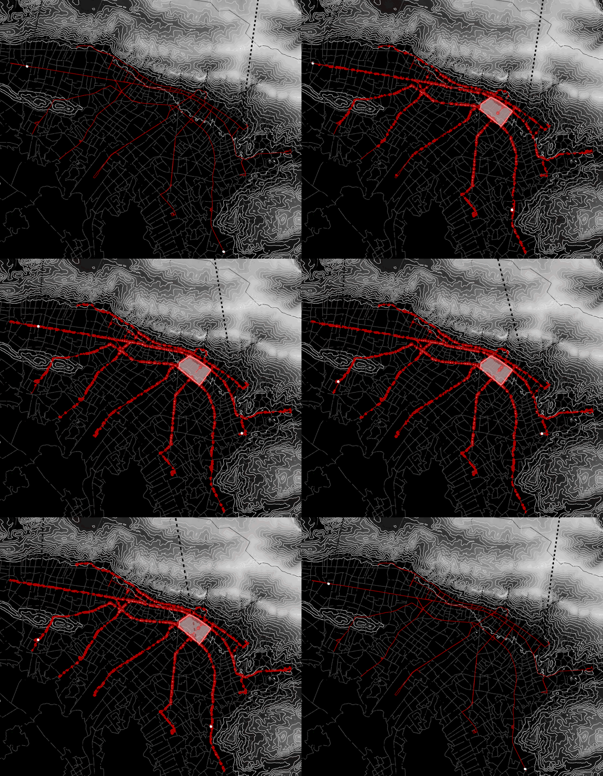
The General Transit Feed Specification (GTFS) is a standardized format designed for the distribution of public transport information globally. This format facilitates the integration of public transportation systems in cities worldwide with popular route planning platforms like Citymapper, Waze, or Moovit. By doing so, it enables users to access information on transport availability and plan … Read more

Can inequality of opportunity be mapped?

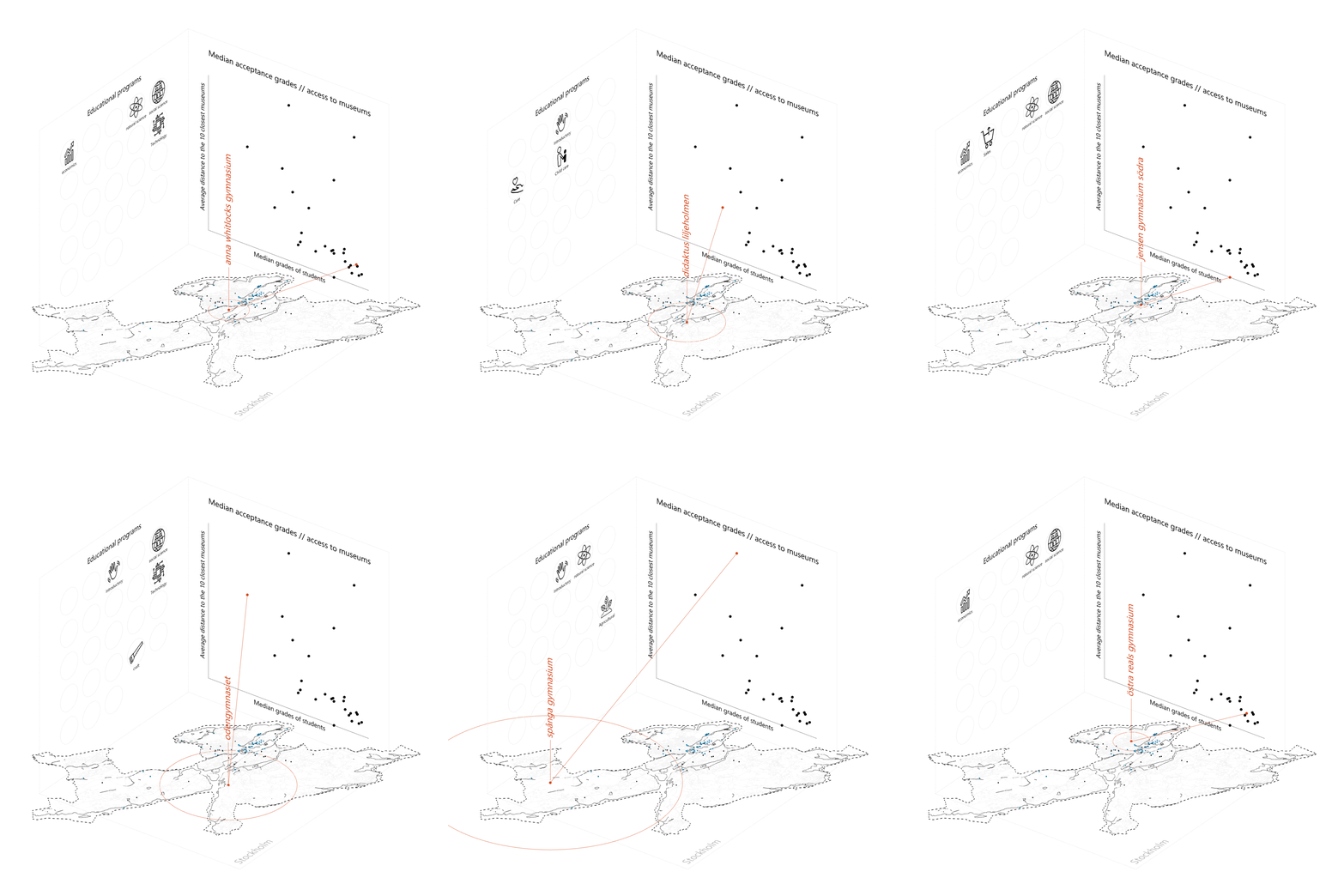
An exercise in visually corelating data. Introduction The Swedish educational system is based on merit. Students have to compete for places by means of their average grades. The competition is fierce, especially in large cities such as Stockholm. This project forms an attempt to showcase a possible correlation between the median acceptance grades of schools … Read more

SKYWARD CONNECTIONS

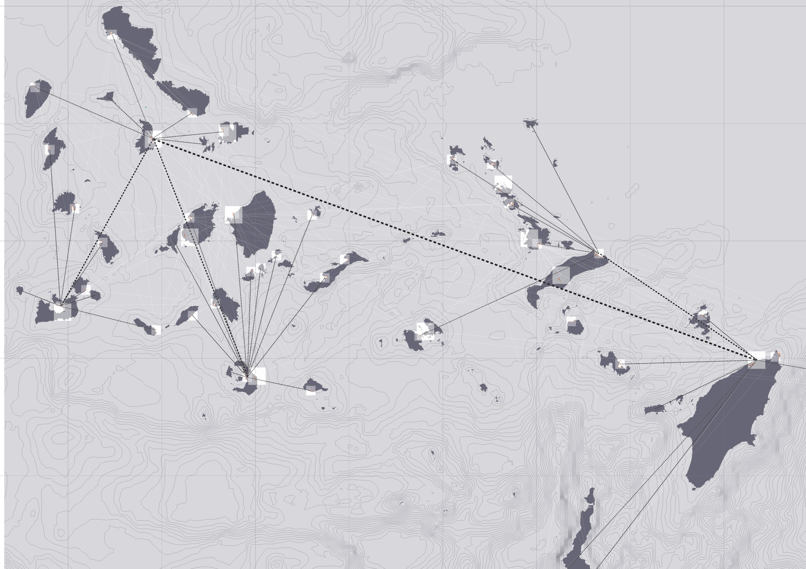
A Data-driven Approach of redefining the Accessibility of the Dispersed Urbanity of the Aegean Archipelago Accessibility is a multifaceted concept that expresses the case of access between two points in space. In the context of islands, accessibility is of utmost importance due to their inherent characteristics of isolation and small size. The Aegean Archipelago in … Read more

GENDERED GEOGRAPHIES

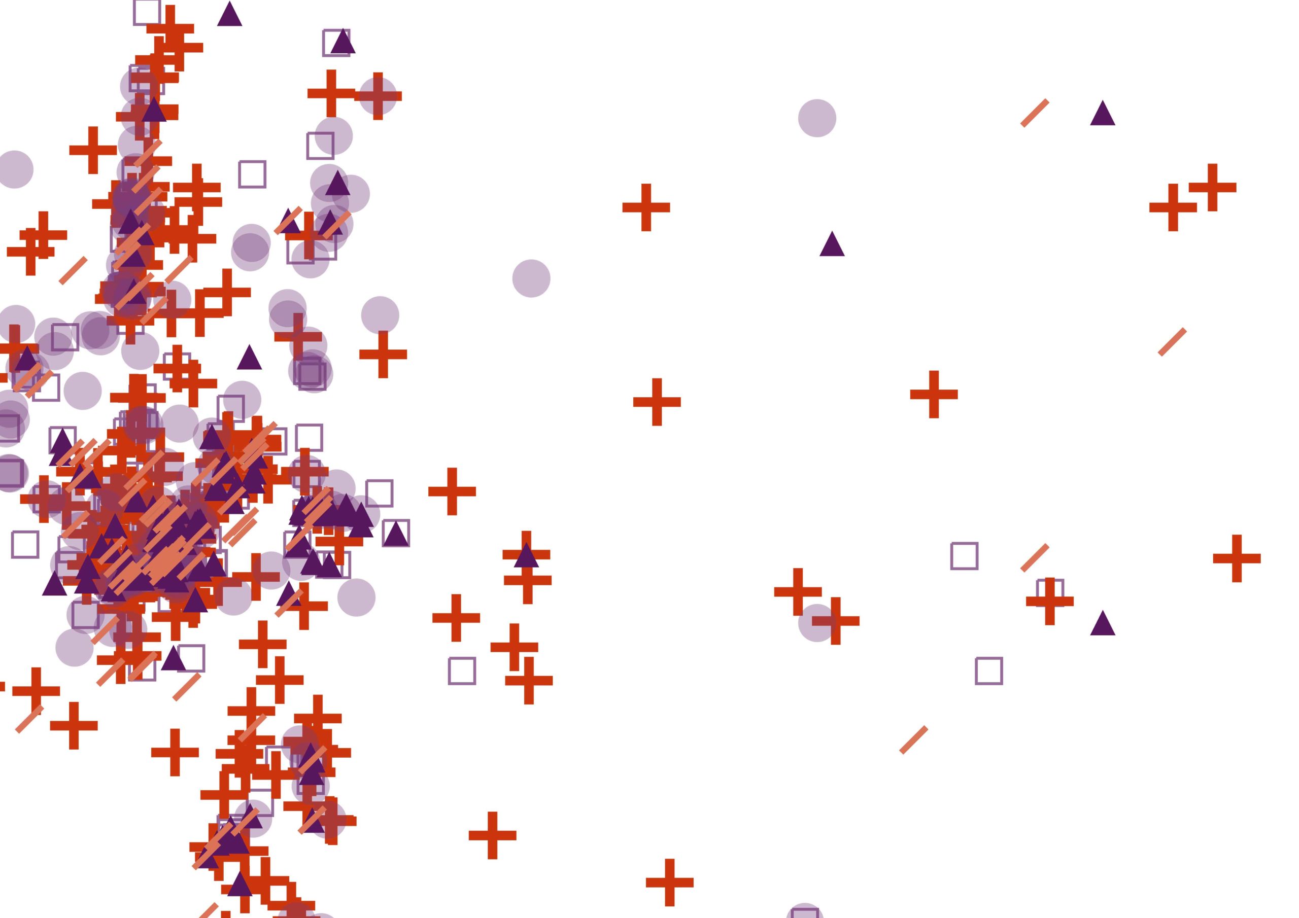
Navigating Urban Realities through Women’s Perception of Safety Cities all over the world are being quantified and rated in terms of their livability and life quality for better understanding of citizen satisfaction.  Safety, including both the tangible aspects and the subjective perception of safety, is a critical component in assessing urban life quality. According to … Read more

The 3-30-300 Rule

TRANSFORMING CITIES INTO URBAN FORESTS This principle, proposed by Cecil Konijnendijk, highlights the significant role played by urban forests and other forms of urban nature in promoting our health, well-being, and resilience to climate change. It acknowledges the need to consider various aspects of urban forests to achieve success. It also emphasizes the importance of … Read more

20 minute neighborhoods in Melbourne

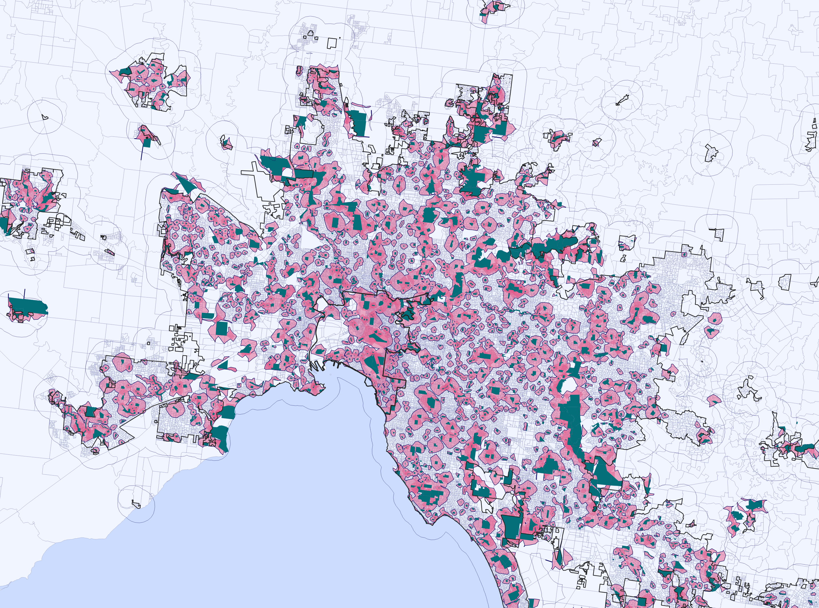
-Problem statement- The extensive sprawl of Melbourne and the affordability challenges have led to a situation where purchasing a home in the central area is increasingly difficult. This situation urges residents to seek housing options in the outskirts, as a result consequently contributing to the city’s expanding boundaries. -Aim of the project- In the city … Read more

Green Printing

Urban Green Spaces are critical urban infrastructure – equally important to how our city functions as transport networks, and particularly vital to the wellbeing of our community. Urban greening supports Melbourne’s economy, providing cooling and amenity which supports the pedestrian economy and reduces operating costs for local businesses. Melbourne is encouraging more innovative methods for … Read more

Urban mining in the city of pre-cast concrete

Singapore, a quickly developing city-state is running out of land and linear expansion with new housing will soon no longer be an option. The project strategically targets public housing as a place of densification and a source of urban mining, aiming to solve the problem of upcoming precast concrete waste. Therefore a circular micro-district design … Read more

Built Heritage vs Real Estate Market. The Barcelona case

python analysis BCN

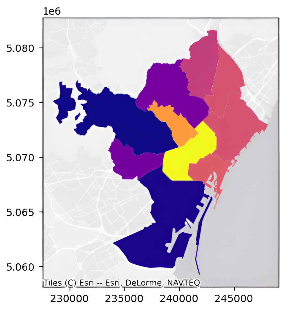
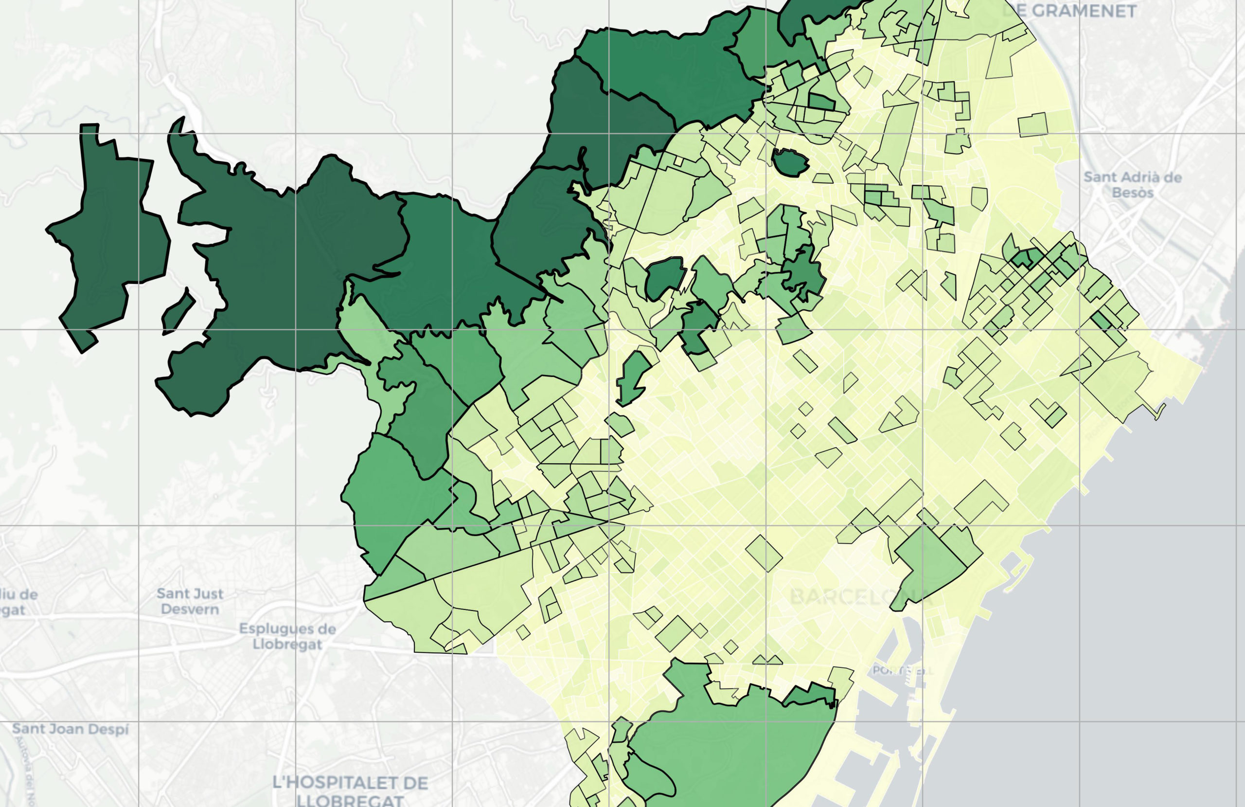
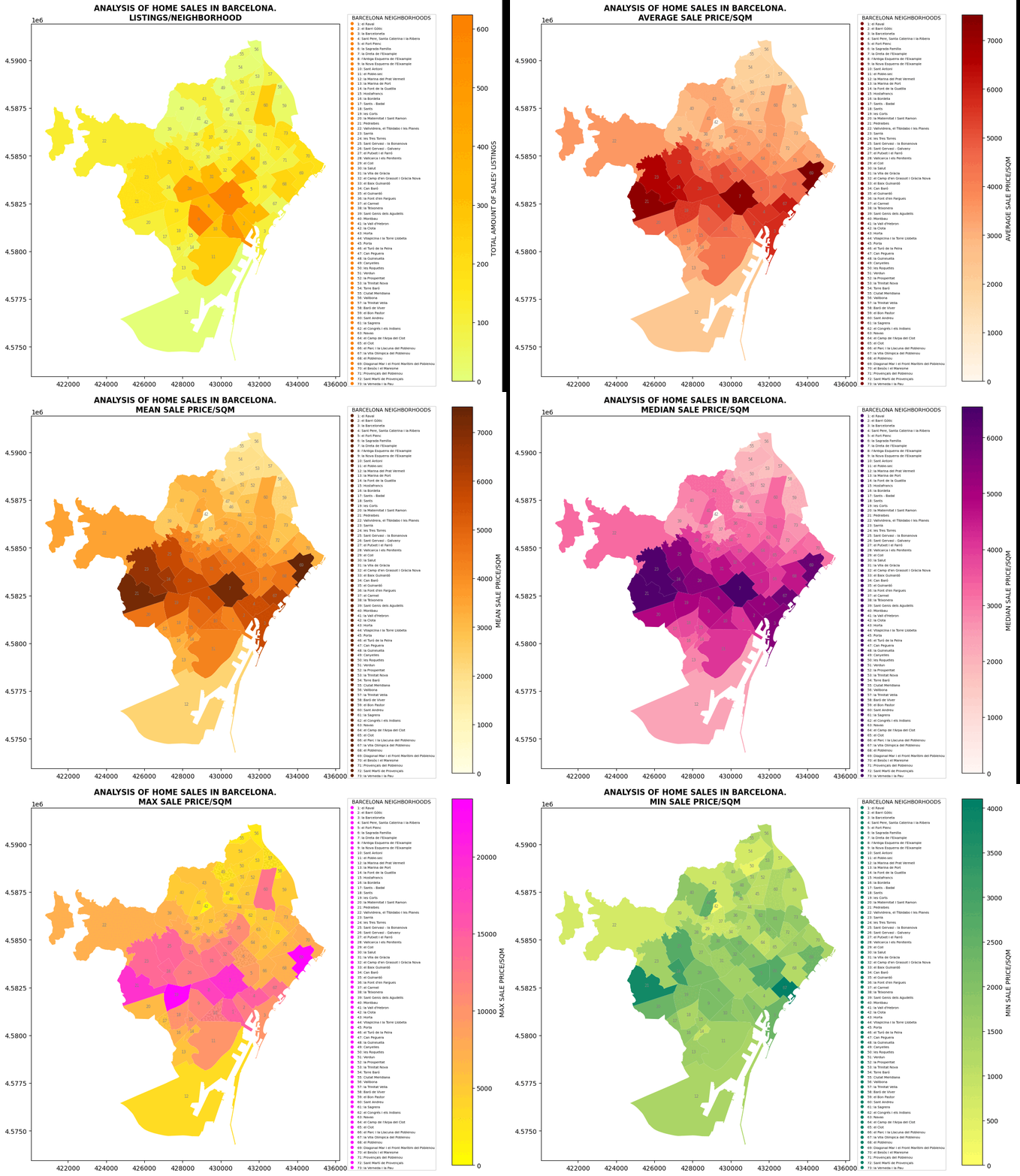
Main question. How built heritage affects real estate market in European cities? Hypothesis Let’s look at this question on the example of Barcelona. Let’s single out the city neighborhoods (barrios) where historical buildings are located, and analyze the ratio of average real estate prices to them, in particular, the sale prices of apartments and houses. … Read more

The Heat Gap

This project explores the relationship between urban heat and mental health in a city using clustering analysis. Four distinct clusters were identified, revealing patterns related to population percentages with mental health problems, urban heat levels, and proximity to industrial areas. Additionally, the study examines the association between urban heat, housing stress, and access to natural … Read more