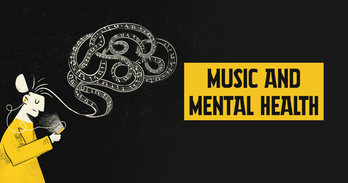
IAAC’s Master in City & Technology (1 or 2-year program) is a unique program oriented towards redefining the analysis, planning, and design of twenty-first-century cities and beyond. The program offers expertise in the design of digitally enhanced, ecological and human-centered urban environments by intersecting the disciplines of urbanism and data science. Taking place in Barcelona, the capital of urbanism, the Master in City & Technology is training the professionals that city administrations, governments, industries, and communities need, to transform the urban environment in the era of big data.


Filters
Course

Promised Land

Mesh representation of MIDI

Mapping America’s Genrescape Promised Land, Chuck Berry’s early representation of modern rock and roll, blurs racialized difference in genre origin, fueling the hybridization of genre categorizes, resulting in America’s current rich music tapestry. MIDI data correlated to synaesthetic representations of color is crystalized and in a dense three-dimensional mesh and place qualities are correlated to … Read more

Visualization of Complex Innovation Data using Python

Innovation is a buzzword these days, and everyone seems to be talking about it. However, truly understanding it is a different ball game. Take the Global Innovation Index by the World Intellectual Property Organization (WIPO), for example. It’s a massive framework that pulls data from top-tier organizations worldwide, scoring countries on 100+ indicators. It’s a … Read more

Navigating Inequality

Introduction Wealth disparity leads to social and economic challenges resulting in social exclusion. 21.6% of population in the EU are at risk of social exclusion. A study confirmed that 61.7% of socially excluded people tend to be segregated. Understanding the origin of the word Segregation – initially used to set sheep apart from the flock, … Read more

Environmental Asset Resilience

The Environmental Asset Resilience (EAR) Tool is a response to the pressing global challenge of environmental instability, particularly in urban areas. These areas face substantial costs associated with environmental problems and climate change. However, decision-making in addressing these issues is complicated by conflicting priorities, limited resources, and a lack of expertise. The EAR Project aims … Read more

SKYWARD CONNECTIONS

A Data-driven Approach of redefining the Accessibility of the Dispersed Urbanity of the Aegean Archipelago Accessibility is a multifaceted concept that expresses the case of access between two points in space. In the context of islands, accessibility is of utmost importance due to their inherent characteristics of isolation and small size. The Aegean Archipelago in … Read more

GENDERED GEOGRAPHIES

Navigating Urban Realities through Women’s Perception of Safety Cities all over the world are being quantified and rated in terms of their livability and life quality for better understanding of citizen satisfaction.  Safety, including both the tangible aspects and the subjective perception of safety, is a critical component in assessing urban life quality. According to … Read more

The 3-30-300 Rule

TRANSFORMING CITIES INTO URBAN FORESTS This principle, proposed by Cecil Konijnendijk, highlights the significant role played by urban forests and other forms of urban nature in promoting our health, well-being, and resilience to climate change. It acknowledges the need to consider various aspects of urban forests to achieve success. It also emphasizes the importance of … Read more

Green Printing

Urban Green Spaces are critical urban infrastructure – equally important to how our city functions as transport networks, and particularly vital to the wellbeing of our community. Urban greening supports Melbourne’s economy, providing cooling and amenity which supports the pedestrian economy and reduces operating costs for local businesses. Melbourne is encouraging more innovative methods for … Read more

Urban mining in the city of pre-cast concrete

Singapore, a quickly developing city-state is running out of land and linear expansion with new housing will soon no longer be an option. The project strategically targets public housing as a place of densification and a source of urban mining, aiming to solve the problem of upcoming precast concrete waste. Therefore a circular micro-district design … Read more

Built Heritage vs Real Estate Market. The Barcelona case

python analysis BCN

Main question. How built heritage affects real estate market in European cities? Hypothesis Let’s look at this question on the example of Barcelona. Let’s single out the city neighborhoods (barrios) where historical buildings are located, and analyze the ratio of average real estate prices to them, in particular, the sale prices of apartments and houses. … Read more

Street sounds of Barcelona

– 00– The project aims to analyze the sounds of streets in Barcelona, cluster them and compare. Firstly, a table of sound types evaluation is created. It consists of point data, network data and sound intensity data. – 01– The methodology and analysis of street segments is based on 1 dataset, that was combined using … Read more

????? • Rent • Proximities

The city of Mumbai, known as the financial and entertainment capital of India, has experienced a significant surge in housing prices and rents in recent years. The demand for residential properties in Mumbai has been steadily increasing due to factors such as population growth, urbanization, and the city’s thriving job market. In the midst of … Read more

Predicting the future densification Helsinki along its former transportation infrastructure.

OVER THE NEXT FEW DACADES HELSINKI EXPECTS TO ADD AROUND 250.000 NEW RESIDENTS IN 30-40KM OF TRANSFORMED MOTORWAY – LIKE HIGHWAYS PROJECT DESCRIPTION: In the future, a transition from highways and roadways to boulevards is anticipated due to a projected decrease in the number of cars. This shift is expected to address several issues commonly … Read more

Melbourne Meltdown X Space Syntax

The project attempts to understand correlations between several relevant factors of today where it aims at identifying the correlations between the mental health data of the city, urban heat island effect, land surface temperature, population, green areas, total neighborhood area, green ratio per neighborhood, NDVI values, distances in 500m to the green spaces, distances in … Read more

Senseable Walks for Melbourne

OPTIMIZING THE EXISTING WALKABILITY INDEX Urban design plays a pivotal role in shaping the livability of a city, and walkability is a crucial aspect that directly impacts its residents’ quality of life. The City of Melbourne has developed a Walkability Index. This project aims at optimizing the existing framework by integrating key parameters related to … Read more