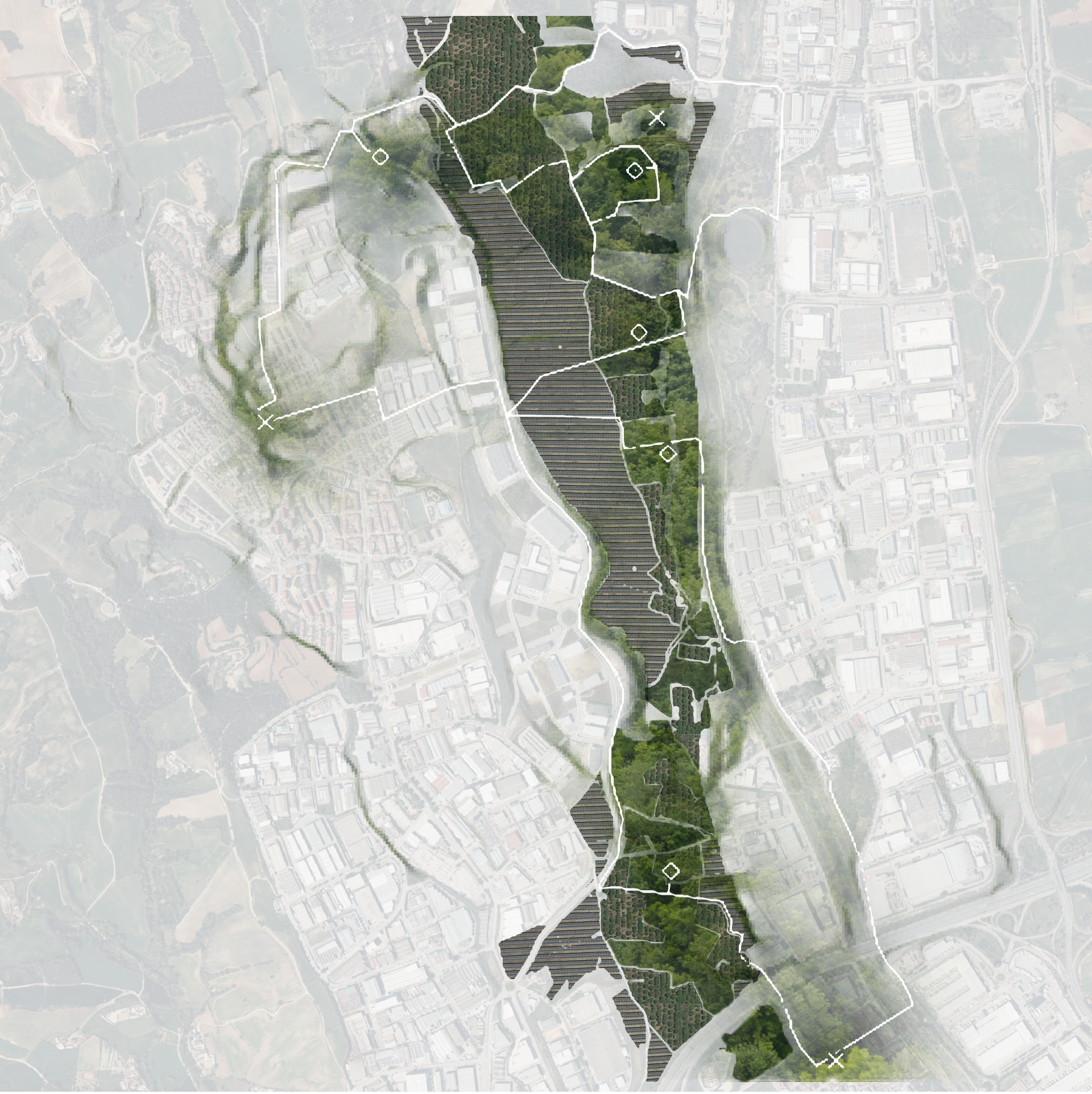
The Future of Public Art
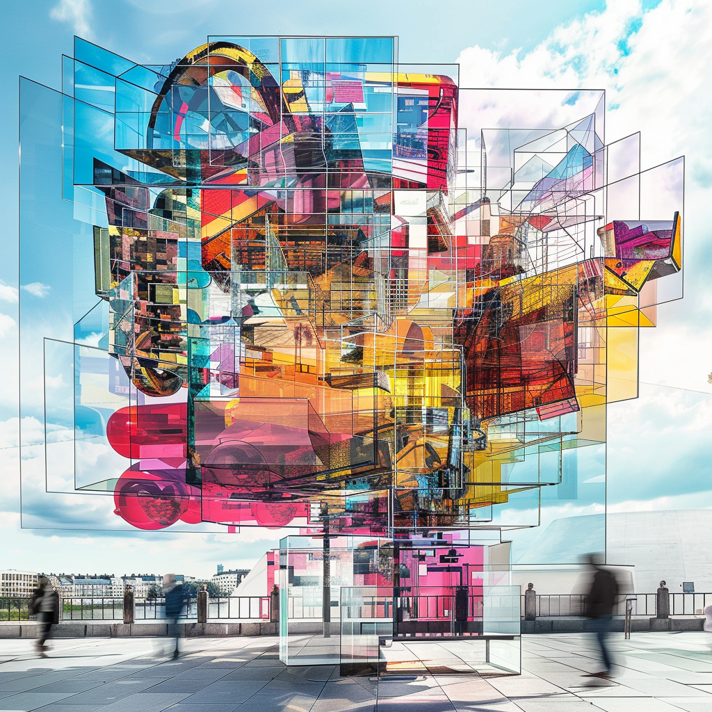
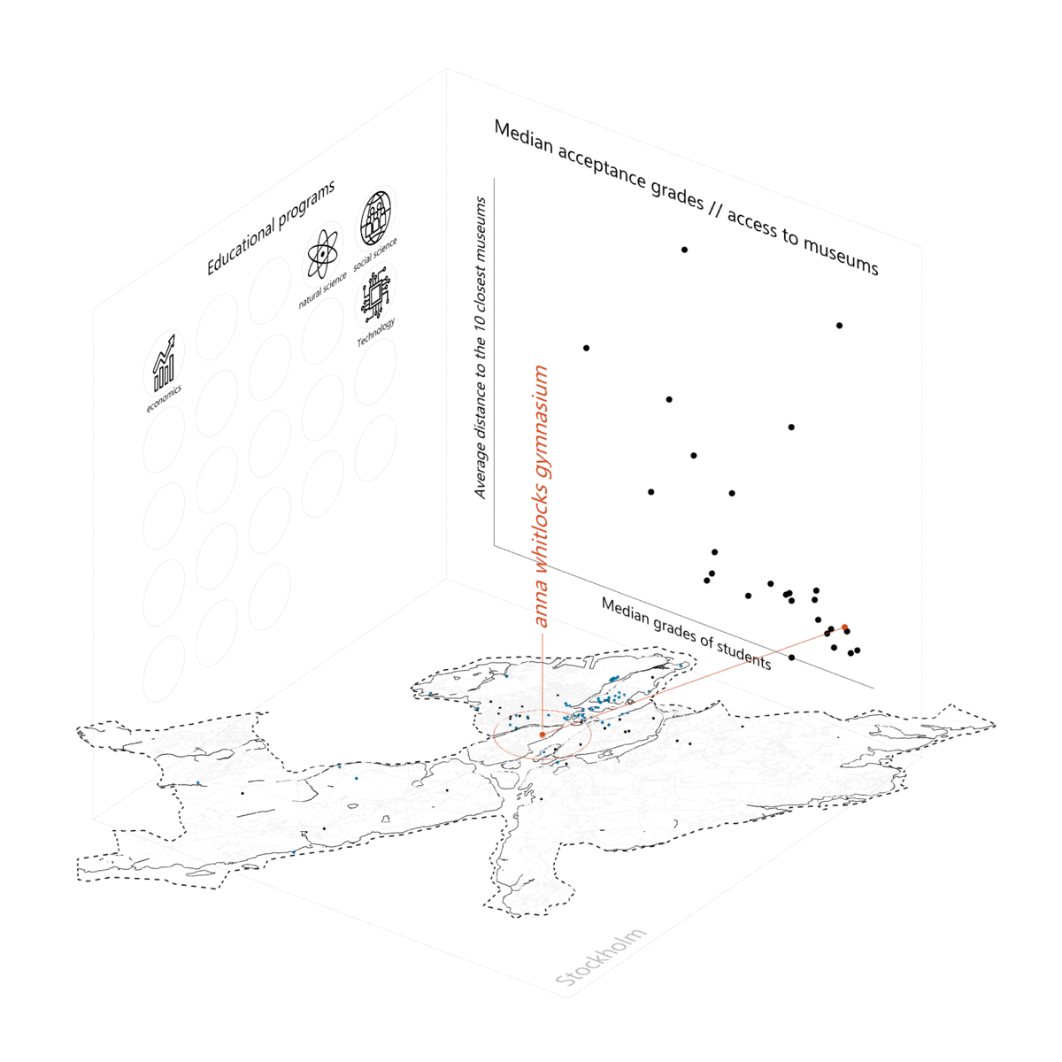
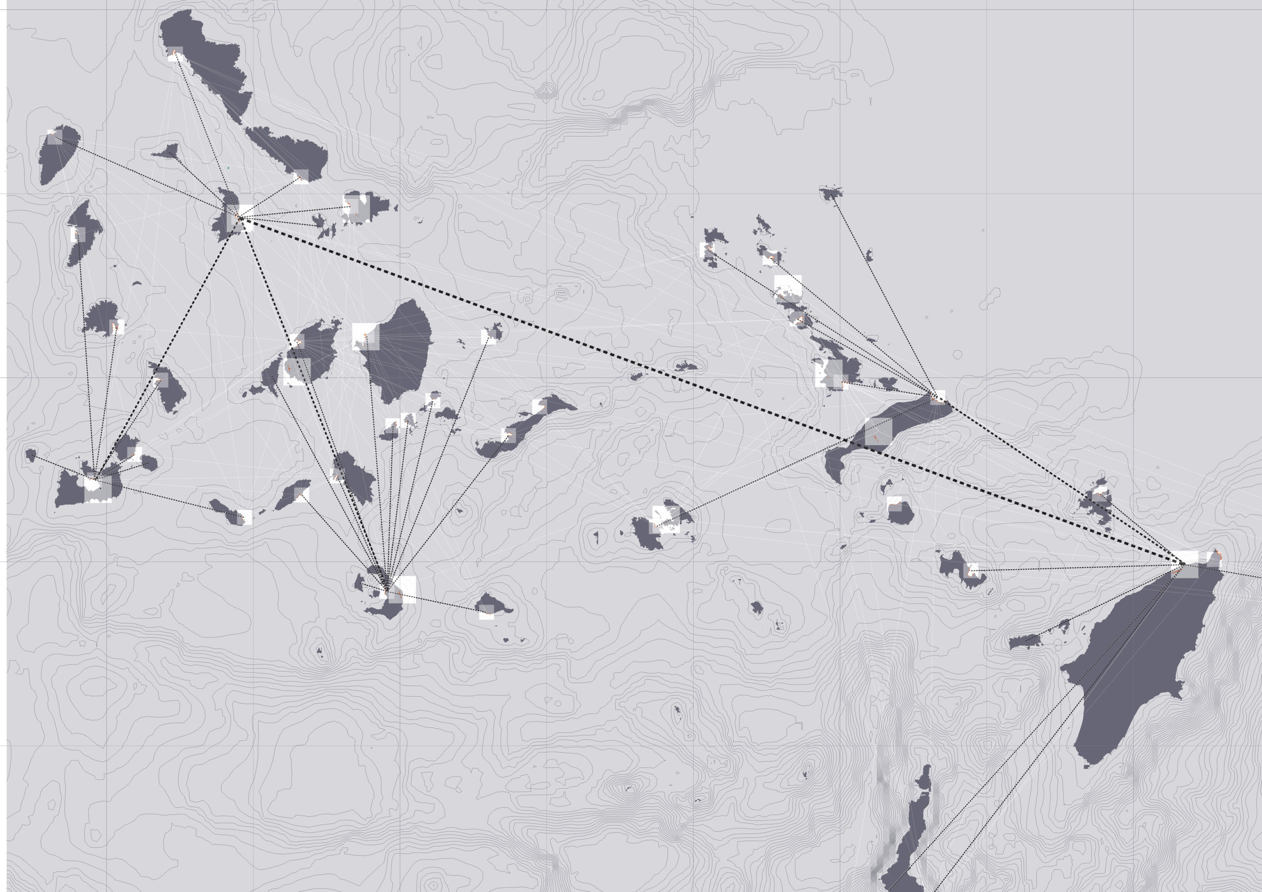
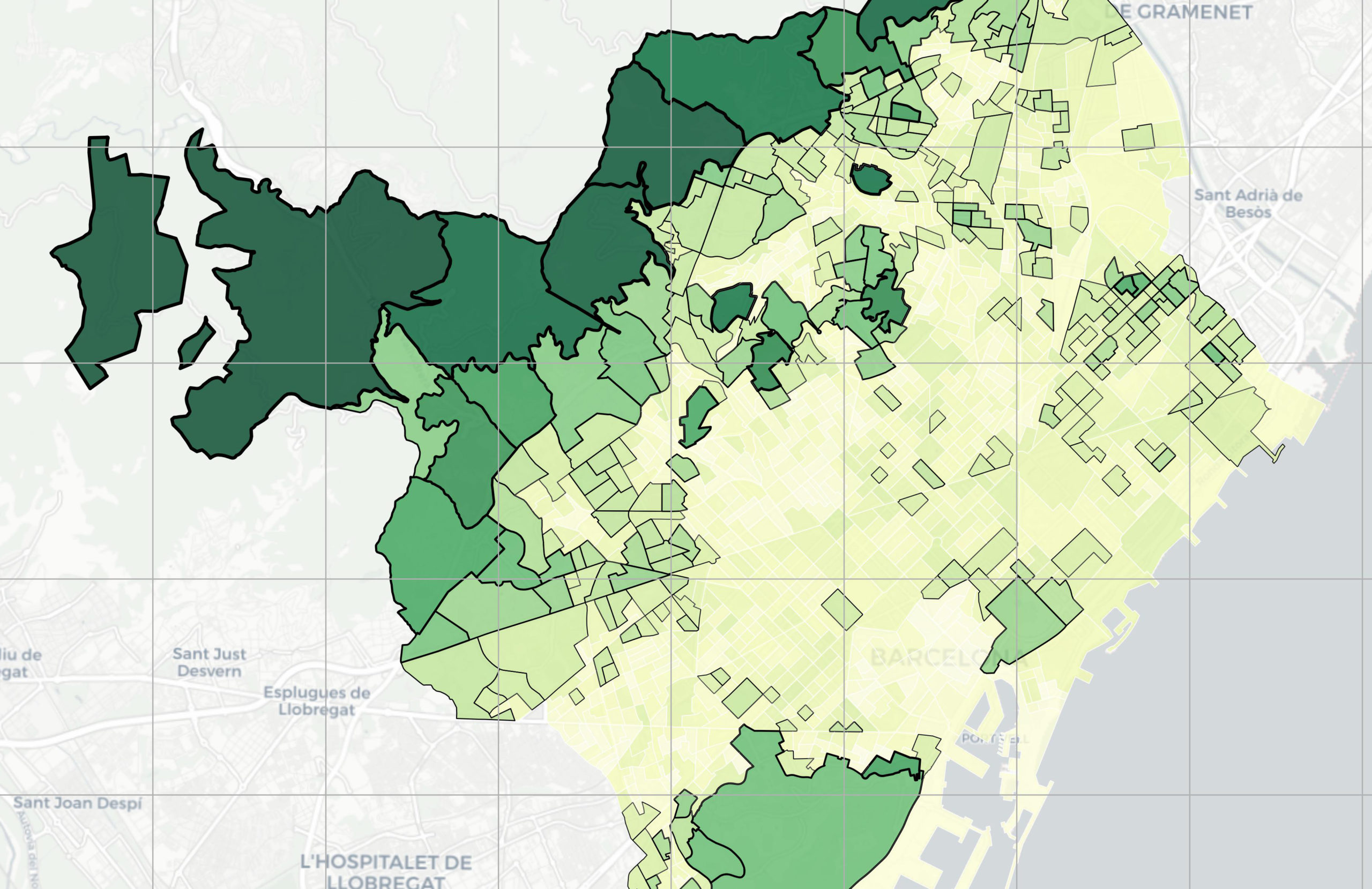
In the ever-evolving field of urban development, “The Future of Public Art” sets out to be a project that reimagines the role and impact of art in public spaces. At its core, the project seeks to quantify the value of public art through a systematic approach, anchored in three fundamental pillars: democracy, contextuality, and insightfulness. … Read more