IAAC’s Master in City & Technology (1 or 2-year program) is a unique program oriented towards redefining the analysis, planning, and design of twenty-first-century cities and beyond. The program offers expertise in the design of digitally enhanced, ecological and human-centered urban environments by intersecting the disciplines of urbanism and data science. Taking place in Barcelona, the capital of urbanism, the Master in City & Technology is training the professionals that city administrations, governments, industries, and communities need, to transform the urban environment in the era of big data.


Filters
Course

From Ancients to Futurescapes

Introduction Commencing with an aerial perspective of Athens, this imagery captures the coexistence of ancient Greek architecture and a futuristic city beneath a mountainous backdrop. This blog post delves into the amalgamation of historical continuity and futuristic aspirations, urging an exploration of the nuanced interplay between time, governance, and urban evolution. Within this composite visual … Read more

Our democracy has been hacked!

“The women argued it was not a bad thing to be able to know instantly by scanning who one is dealing with. Someone remembered a proposal that democracy might best be served by opening up the data banks to everyone rather than trying to do without them or, even worse, pretending they did not exist. … Read more

Cities or Urbanisation ?

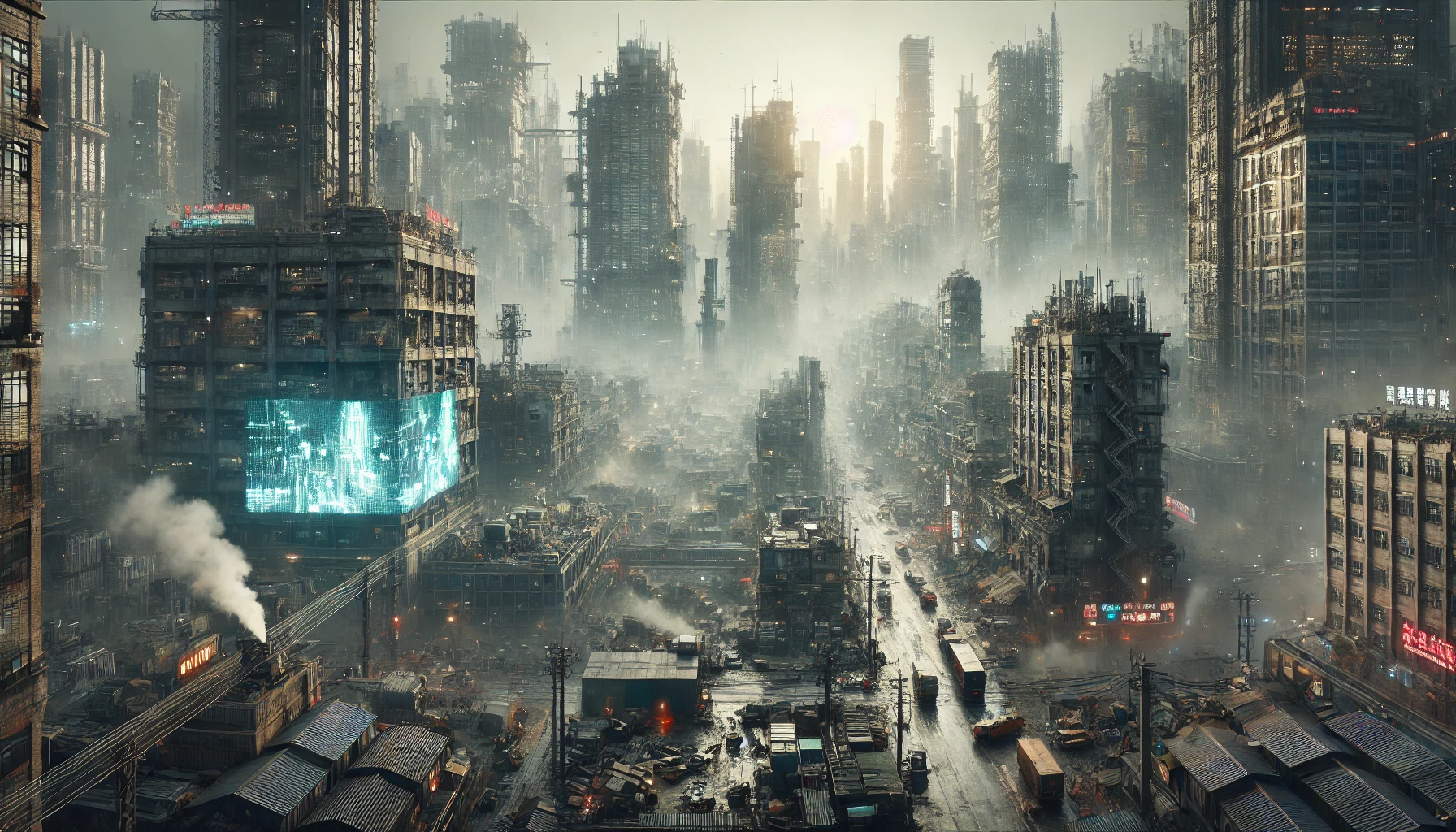
The image was created to depict an exaggeration of a Lagos market scene. In Lagos Nigeria, there is an obsession by the state to build “ultra-modern“ shopping facilities to house commercial activities. However, due to the high cost of rent of these facilities as well as the culture of traditional markets in Nigeria, traders and … Read more

Arbitration of the Arbitrary

Critical urbanists are empowered by theory, constrained by history, and valued by their ability and will to negotiate opportunities. The powers of theory are defined by Brenner and Roy as that of critical imagination and rejection of definition; contexualized as historically urban and increasingly planetary by Harvey, Brenner, and Schmid; and actualized by Kaika and … Read more

Questioning the Urban

Embarking on the intersection of artificial intelligence and theoretical discussions, imagine a digital voyage where sophisticated tools act as investigative aides. Think of it as the analytical companion dissecting context, sentiments, and core concepts—a literary detective in the digital world. It takes a visual turn with topic modeling weaving a tapestry of themes, and network … Read more

Community within the Urban?

Community is mostly depicted as a unifying tool that brings a sense of belonging, but does it also act as the root of urban conflict by defining who is an outsider? Through the use of AI, the text Cites or Urbanization? by David Harvey was reimagined as a part of a political discourse and represented … Read more

Urbanizing degrowth

Introduction Embarking on the odyssey of urban studies, this blog post endeavors to unravel the intricate tapestry of urban theory. At its core, urban theory seeks to comprehend the dynamic relationship between cities, nature, and design, viewed through the lens of recent discussions within the realms of urban and environmental studies. The journey is marked … Read more

Theories of the Urban : Planetary Urbanization

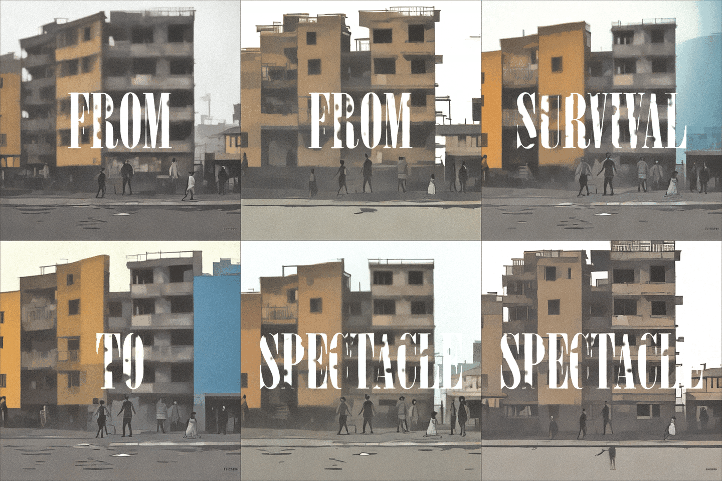
‘ The blurring and rearticulation of urban territories. Urbanisation processes are being regionalised and reterritorialised. Increasingly, former “central functions,” such as shopping facilities, company headquarters, research institutions, prestigious cultural venues, as well as spectacular architectural forms, dense settlement patterns, and infrastructural arrangements, are being dispersed outwards from historic central city cores, into erstwhile suburbanised spaces, … Read more

Decoding Critical Urban Theory

Harnessing AI to deconstruct text to visuals Introduction Welcome to our exploration of urban theory, where we decipher the complexity of urban theory through the lens of imagery and aphorisms. We—three students with diverse perspectives—have delved into the intricate narratives and critical readings to let us translate them to critical urban thinking. This blog post … Read more

Annual and Cumulative Analysis of Pesticide Concentration in Multiple Locations: Understanding Trends and Patterns

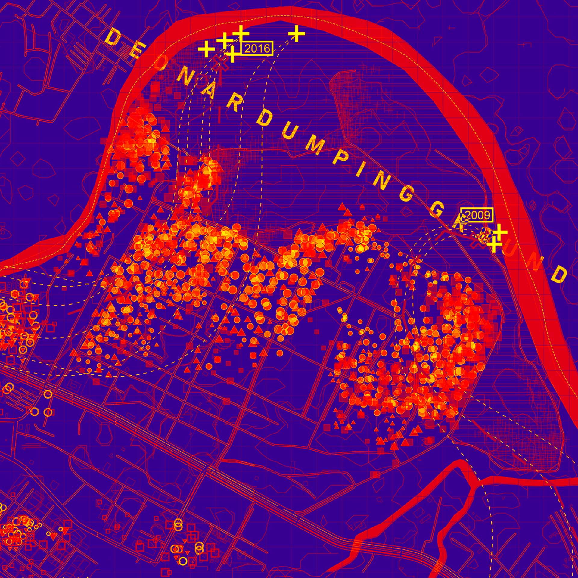
Introduction: Understanding the presence and distribution of pollutants like pesticides is crucial. In this blog post, I’ll delve into a Python-based analysis exploring pesticide concentration trends across diverse locations. I’ll use Python’s data analysis libraries to decipher annual trends and gain an overarching understanding of pesticide presence. Interpretation and Conclusion: My Python-based analysis shed light … Read more

Coding Nature

Investigating the Impact of Open Green Spaces on Airbnb Rates with Python 1. Introduction The industry of tourism in Barcelona has seen a major hike in the past couple years. Post-covid Barcelona has also become an educational hub for students from across the globe. The increase in Inflow of people has also made platform urbanism … Read more

The CourtForge

Enlarging the great… Emanuel Ginobili is one of the most -if not the most- accomplished Argentinian basketball players. During his 16 season basketball career in the NBA, that went on from 2002 to 2018, he won 4 championships as one of the San Antonio Spurs “Big Three”, was named an All-Star twice, was selected for … Read more

LighTopia: Light up community space with participatory design

LighTopia, a transformative project where the community plays a pivotal role in shaping their public space through the lens of participatory design. In this immersive journey, we invite you to explore our comprehensive methodology, emphasizing collaboration, empathy, and the dynamic synergy between community insights and innovative design. 1. Site Context and Data Analysis: Our journey … Read more

Carrer d’Aragó: A place to stay

Introduction Carrer d’Aragó is one of the busiest streets in Barcelona. With 4 car lanes and 1 bike lane, it receives thousands of vehicles every day, making it a center for noise and pollution. Additionally, it is home for a very diverse community and it’s located close to some of the most popular tourist spots … Read more

Trencadís

Abstract Trencadís transforms a transitory sidewalk to resident alcoves through the implementation of trencadís, a dynamic mosaic art form that responds to the distinctive needs and material preferences of its creators. The design approach is centered on understanding and reacting to resident preferences to resolve site challenges. Non-descript materiality is replaced with a parametric, pervious … Read more

An Encounter with a Passage

1. Introduction In the exploration of urban design and its impact on community well-being, “An Encounter with a Passage” delves into the heart of participatory design. This project revolves around the central question of integrating green spaces in urban settings, not just as an aesthetic feature but as a core element of community identity and … Read more

Visualizing GeoSpatial Data in Python – Going from Csv to Graph

Visualizing dataframes using Geopandas and Plotly in Python introduction Python is a versatile and easy-to-learn programming language. GeoPandas extends the data manipulation capabilities of pandas to spatial data, providing a familiar and convenient environment for working with both tabular and geographical data. GeoPandas makes it easy to load, explore, and analyze geographical data. You can … Read more